
Walk Reports 2026
Carrbrook Circular
- Walk Date: 2026-03-15
- Walk Distance: 10 miles
- Walk Grade: Moderate
- Walk Leader: Debbie Kelly
- Number of Walkers: 8
- Weather Conditions: Wet, Windy, Cold
Click Photo for Closeup


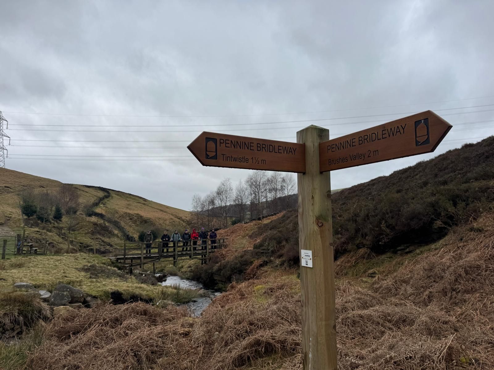
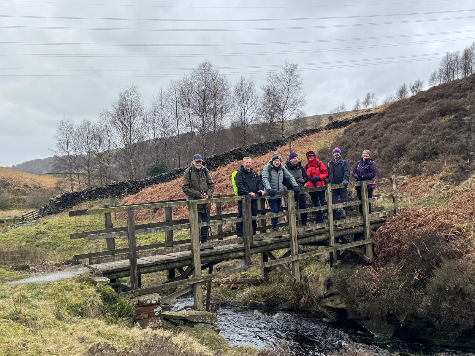
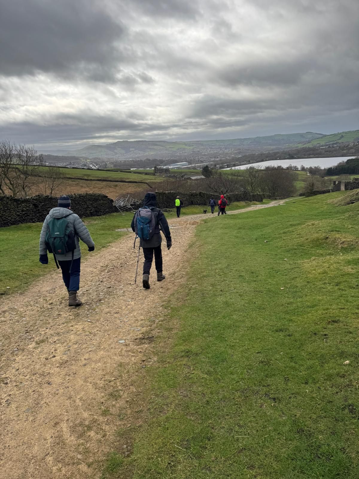
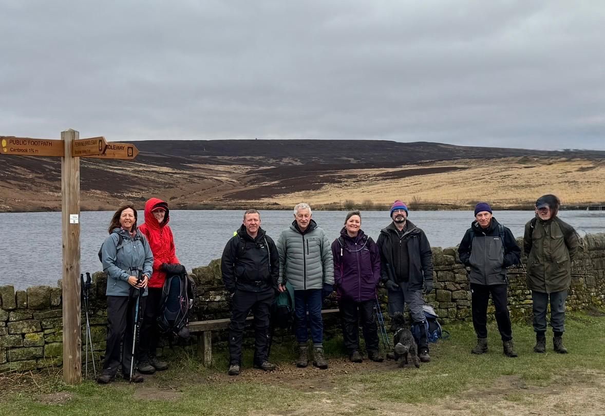

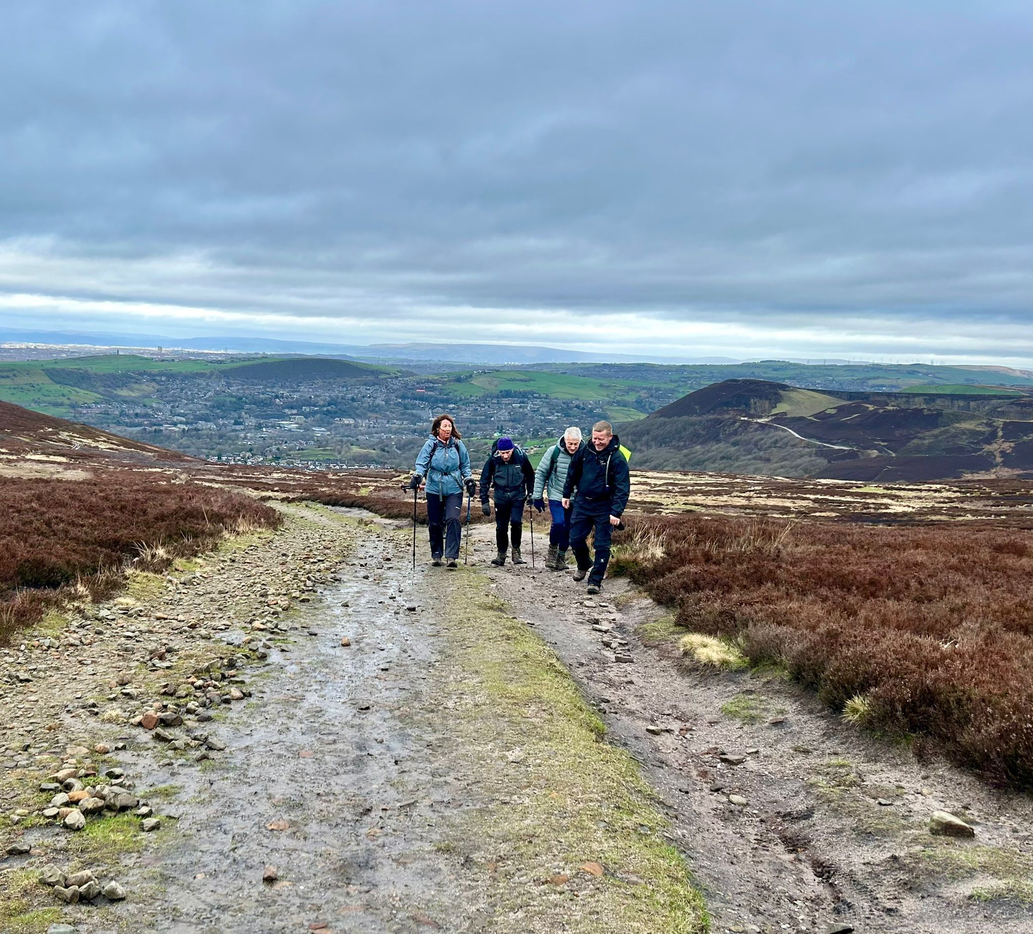
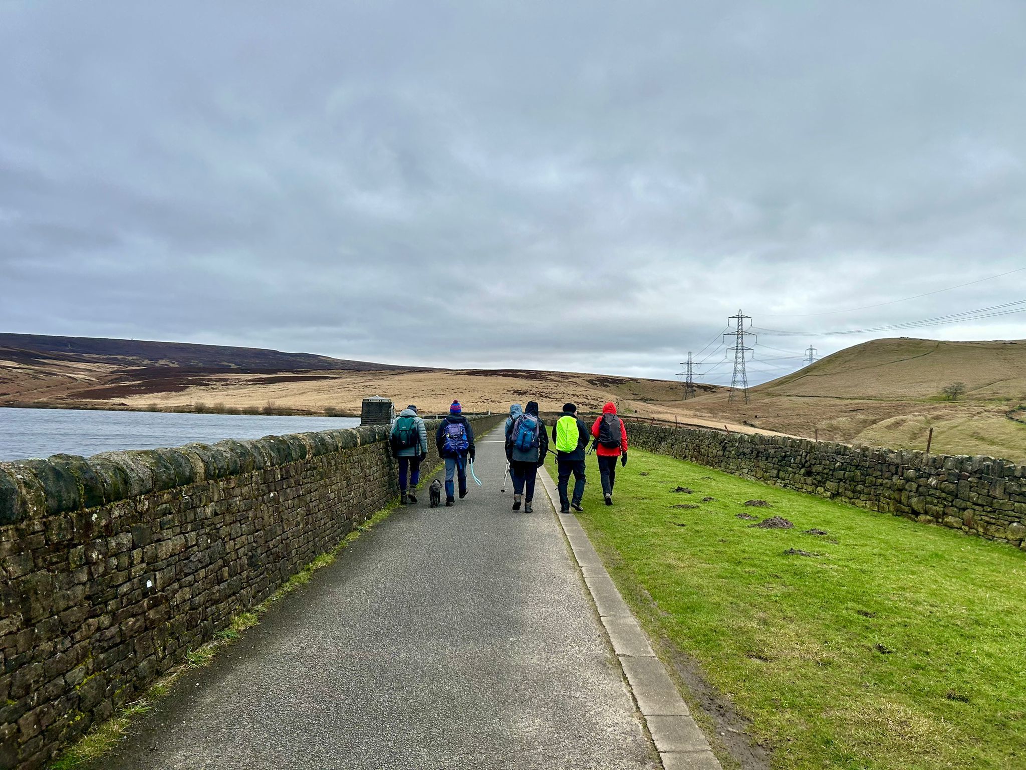
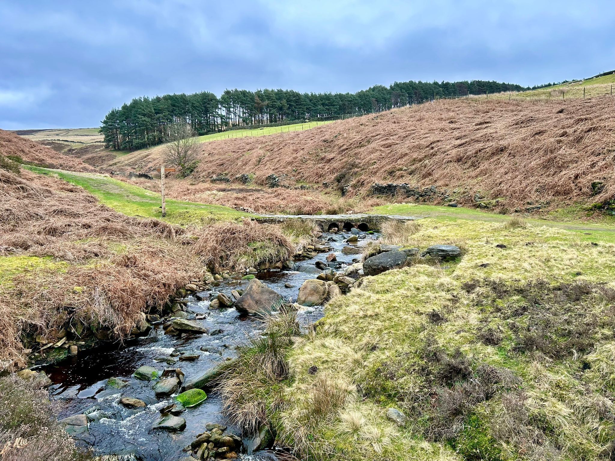
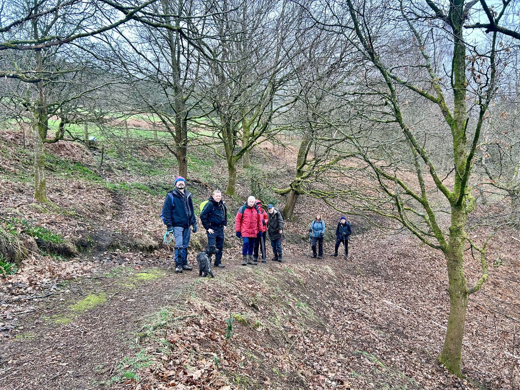
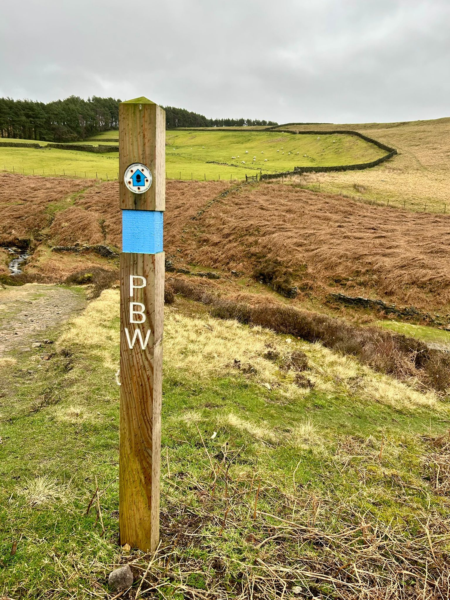
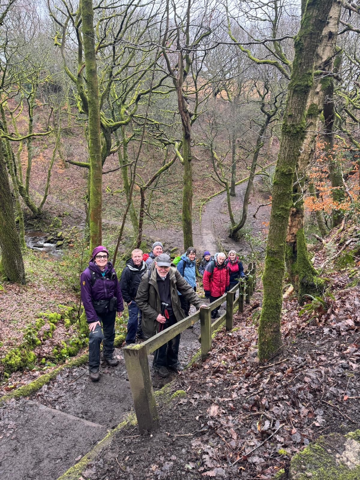
In cold conditions with the threat of rain forecast, 8 walkers and a dog met at Carrbrook car park for an undulating 10 mile walk around the Tameside countryside, led by Debbie Kelly.
We first walked along the Pennine Bridleway to Higher Swineshaw reservoirs, where we stopped for the morning break. Then we continued to Arnfield and the Devil's Bridge, before climbing through Swallow's Wood Nature Reserve to Hall Farm and onto Hollingworth Moor for the lunch stop. After lunch, we continued up the hill in very windy conditions to Wild Bank trig point for a photo stop. By now the rain had arrived, so we descended in increasingly wet conditions to Walkerwood reservoir, then back along the Pennine Way to the start.
Walking conditions underfoot were generally good, but as some sections involved a rocky descent and with the deteriorating weather, it made for difficult walking. After the walk, nobody was interested in going for a drink, so we went home after what had been quite a challenging, but rewarding walk.
- Details
- Category: Walk Reports 2026
East Marton to Bell Busk
- Walk Date: 2026-03-08
- Walk Distance: 10.5 miles
- Walk Grade: Moderate
- Walk Leader: Gill Kent
- Number of Walkers: 10
- Weather Conditions: Dry, Cloudy, Cool
Click Photo for Closeup


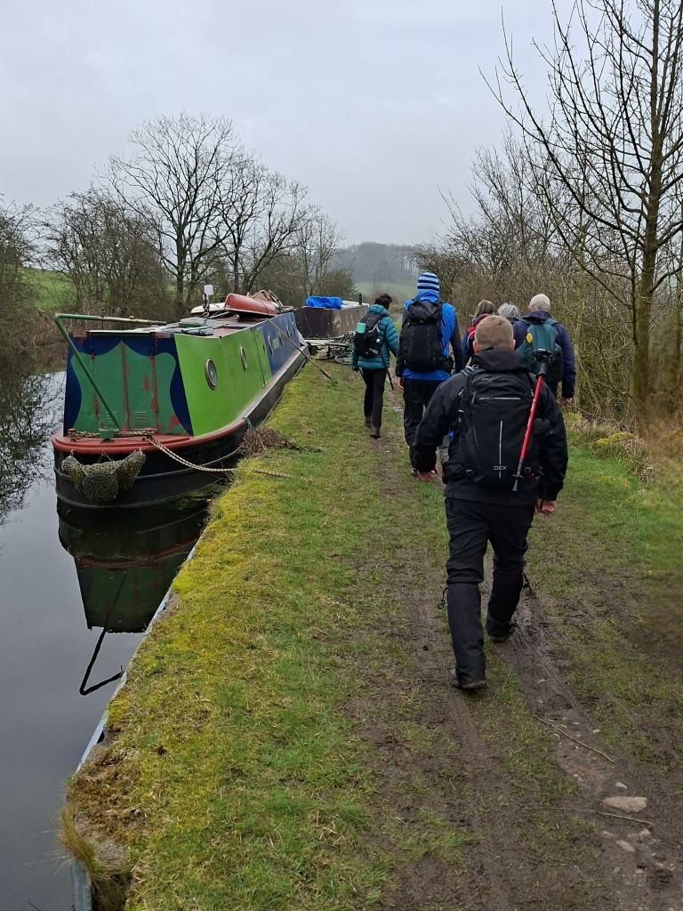
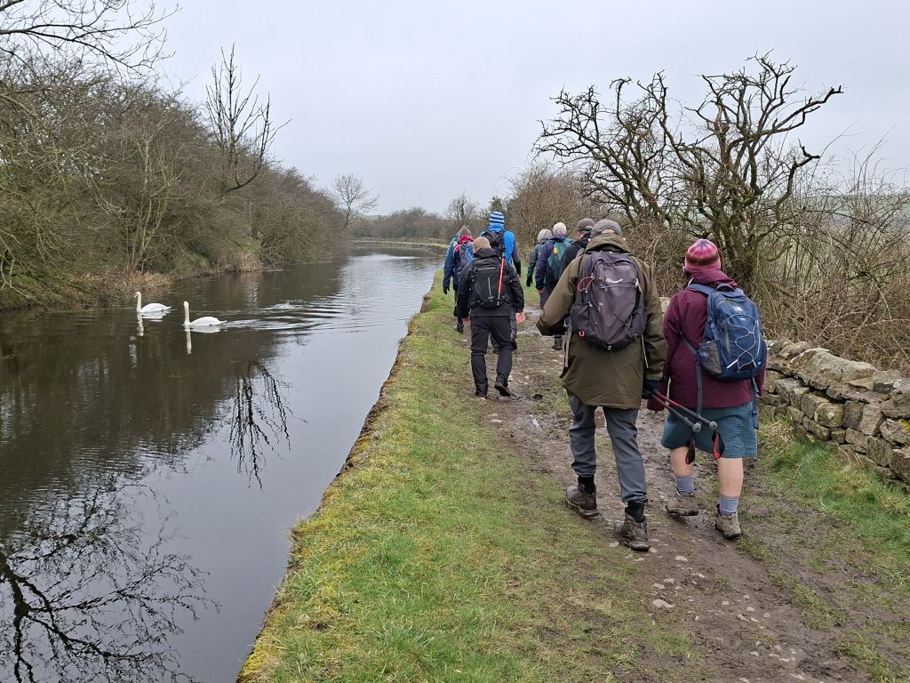
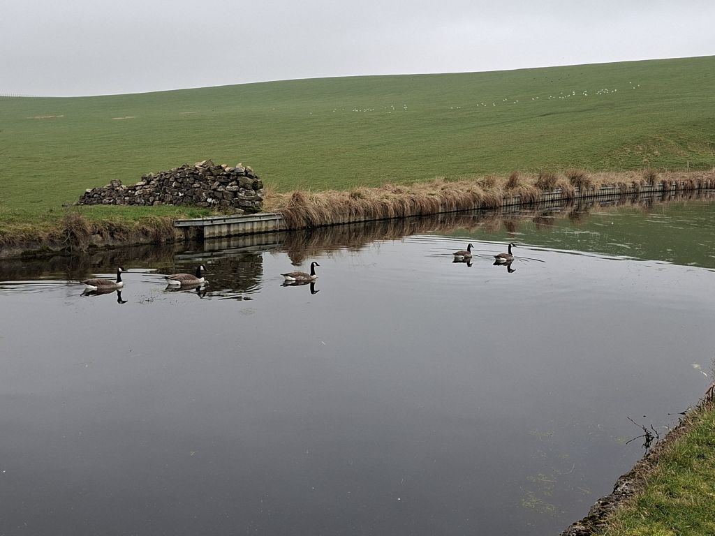

In dry conditions, Gill Kent led a group of 10 walkers on a 10.5 mile walk, starting from East Marton in North Yorkshire. The route first went along the Leeds and Liverpool Canal before leaving it at Newton Locks Head. The walk then continued along lanes and footpaths via Bell Busk to Gargrave for the lunch stop. After the lunch break, we picked up The Pennine Way back to the start.
As the Cross Keys Pub was closed, some of the group stopped at the Old Stone Trough at Kelbrook for drinks.
- Details
- Category: Walk Reports 2026
Sawley and Bolton-by-Bowland
- Walk Date: 2026-03-01
- Walk Distance: 10.5 miles
- Walk Grade: Moderate
- Walk Leader: Jim Byrom
- Number of Walkers: 9
- Weather Conditions: Dry, Windy, Muddy, Cool
Click Photo for Closeup


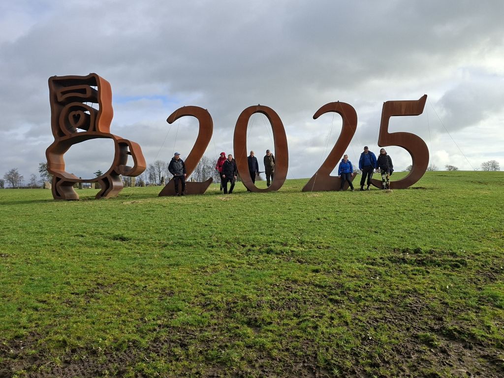

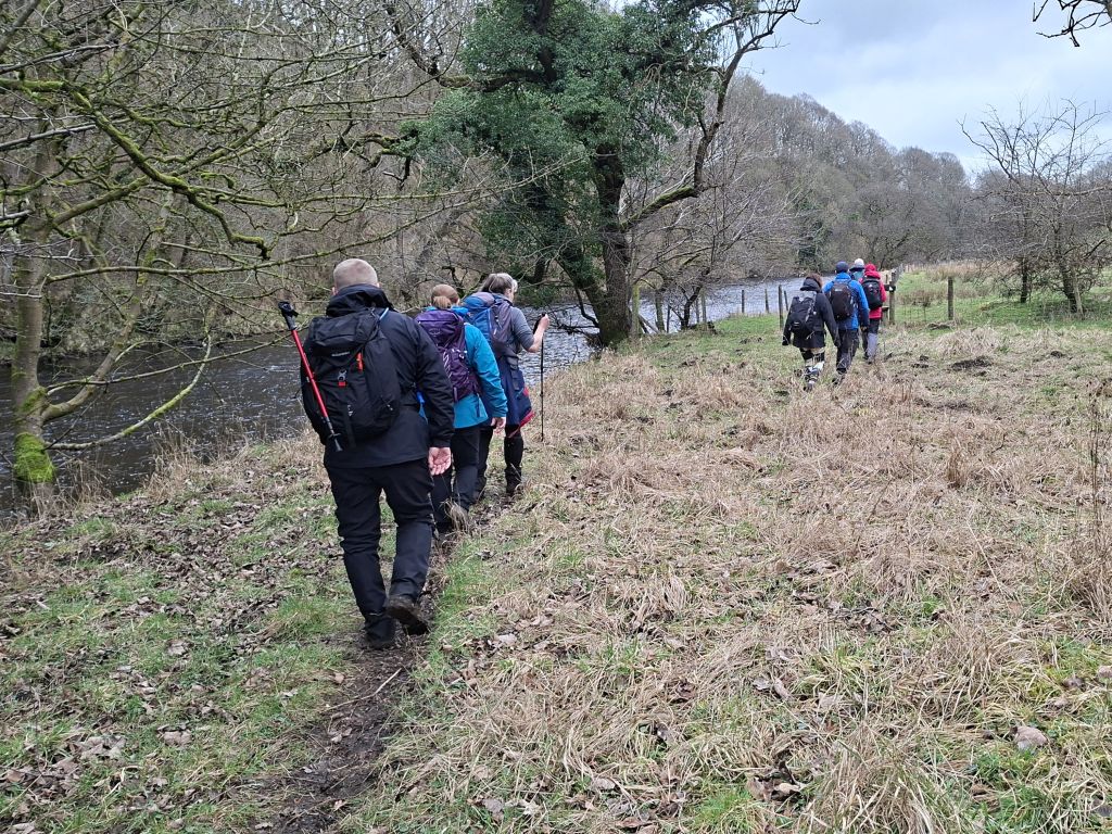
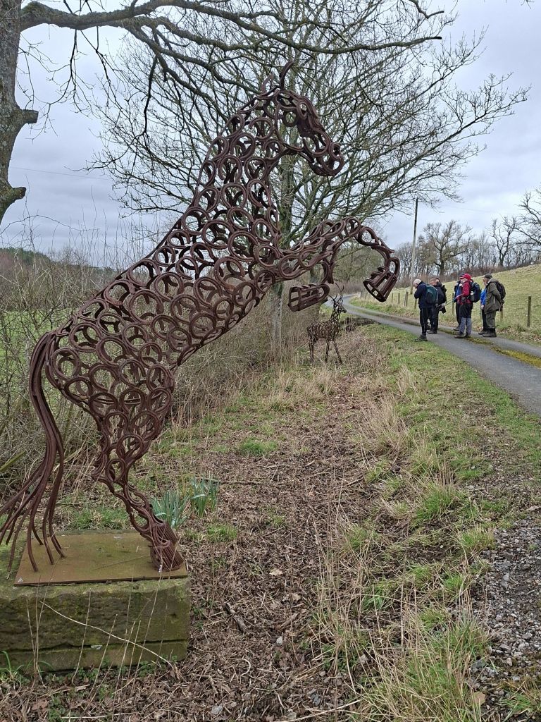
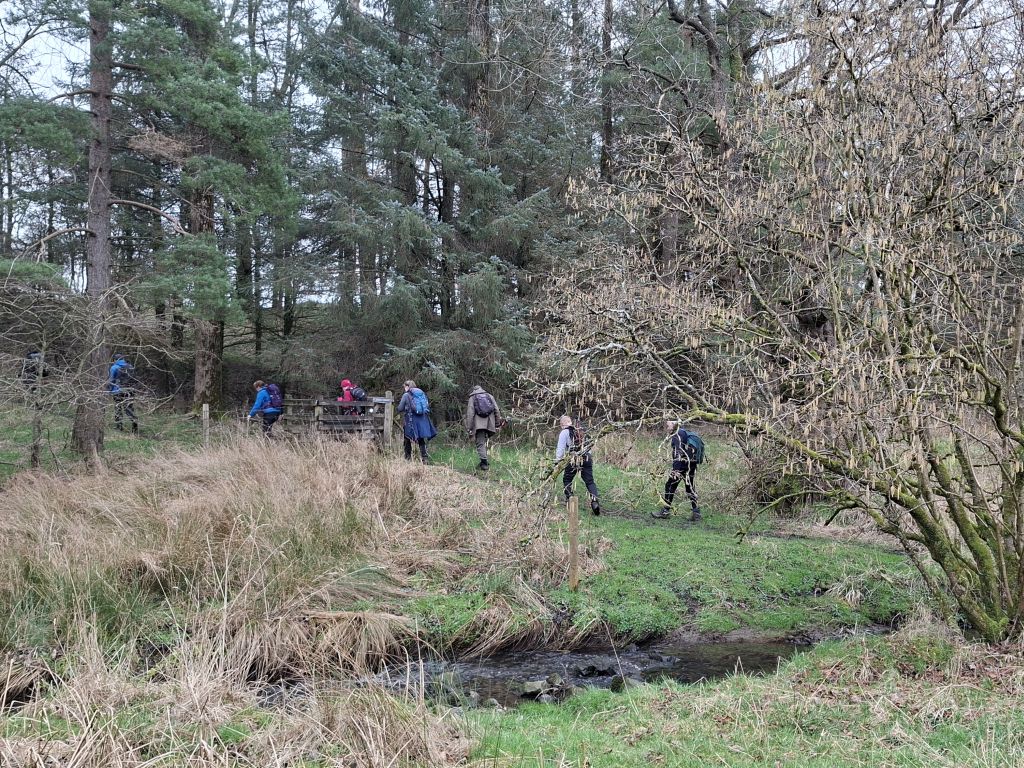
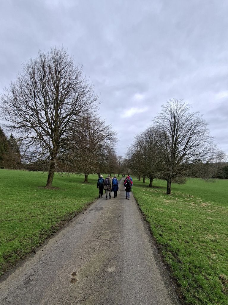
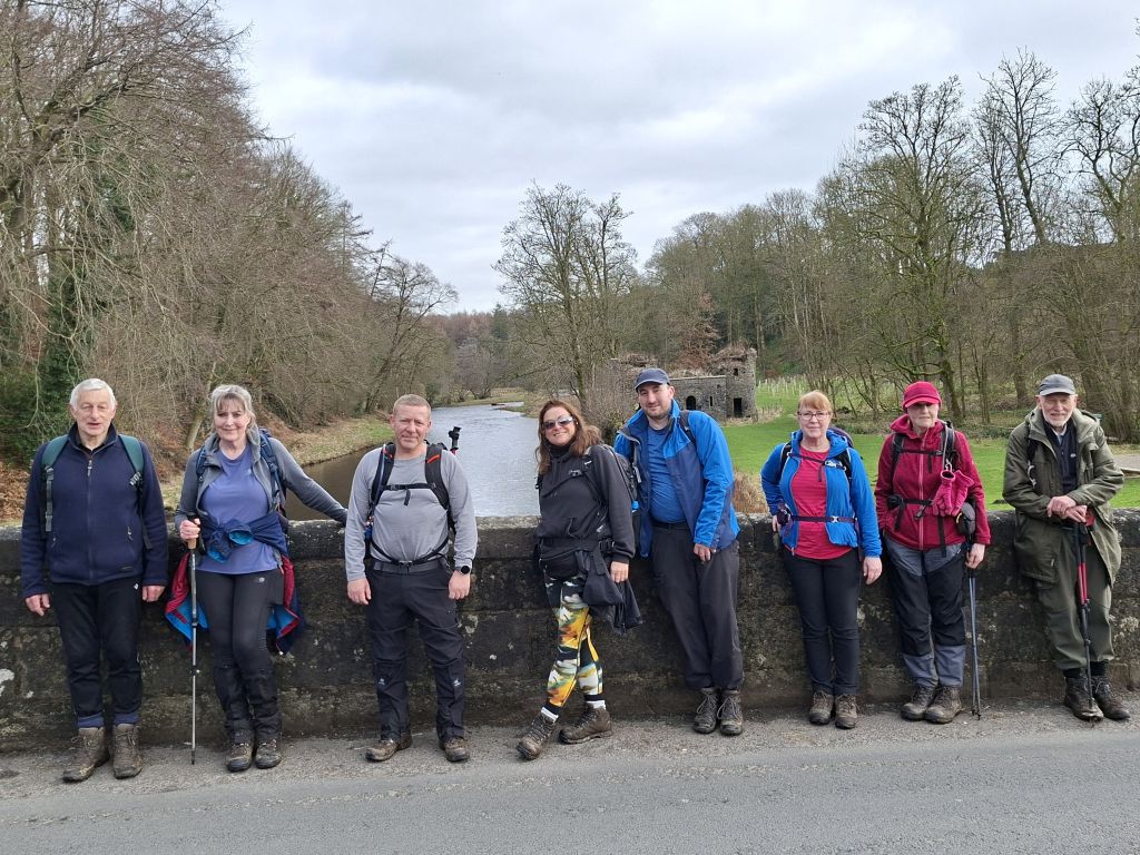
Starting from Sawley car park, a group of nine walkers set out on a 10.5‑mile scenic walk around the Ribble Valley area. The route followed the Ribble Way via Gisburn Cotes, across the Ribble at Gisburn Bridge and on to Fooden Hall farm for the lunch break. After the break, the walk continued to the village of Bolton-by-Bowland before returning to the start across very muddy fields..
The walk was undulating and didn't include any steep ascents, but the paths were very muddy underfoot in places. The dry weather though, made for an excellent and rewarding walk around the Ribble Valley.
After the walk, some of the group went to the Spread Eagle Inn for drinks.
- Details
- Category: Walk Reports 2026
Snowdrop Walk from Whalley
- Walk Date: 2026-02-22
- Walk Distance: 10.5 miles
- Walk Grade: Moderate
- Walk Leader: Barbara Shelton
- Number of Walkers: 10
- Weather Conditions: Dry, Windy, Sunny, Muddy
Click Photo for Closeup


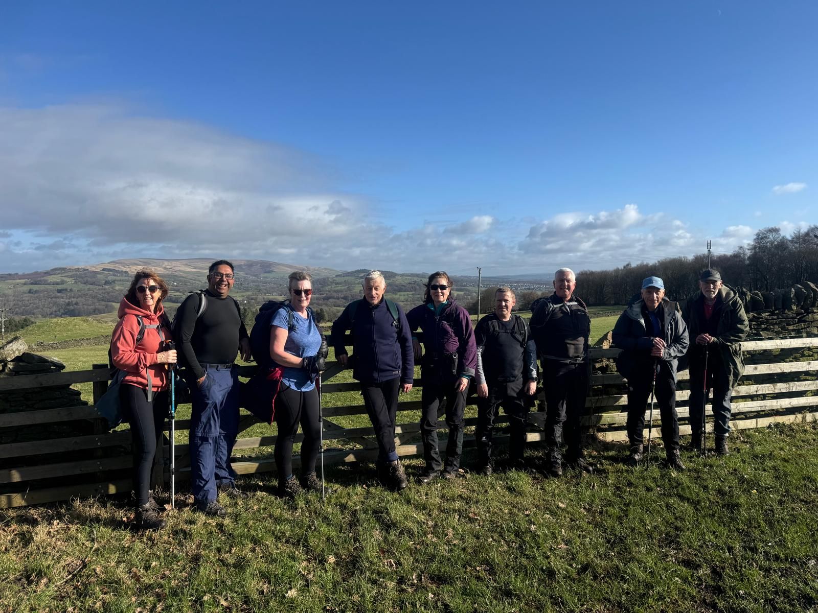
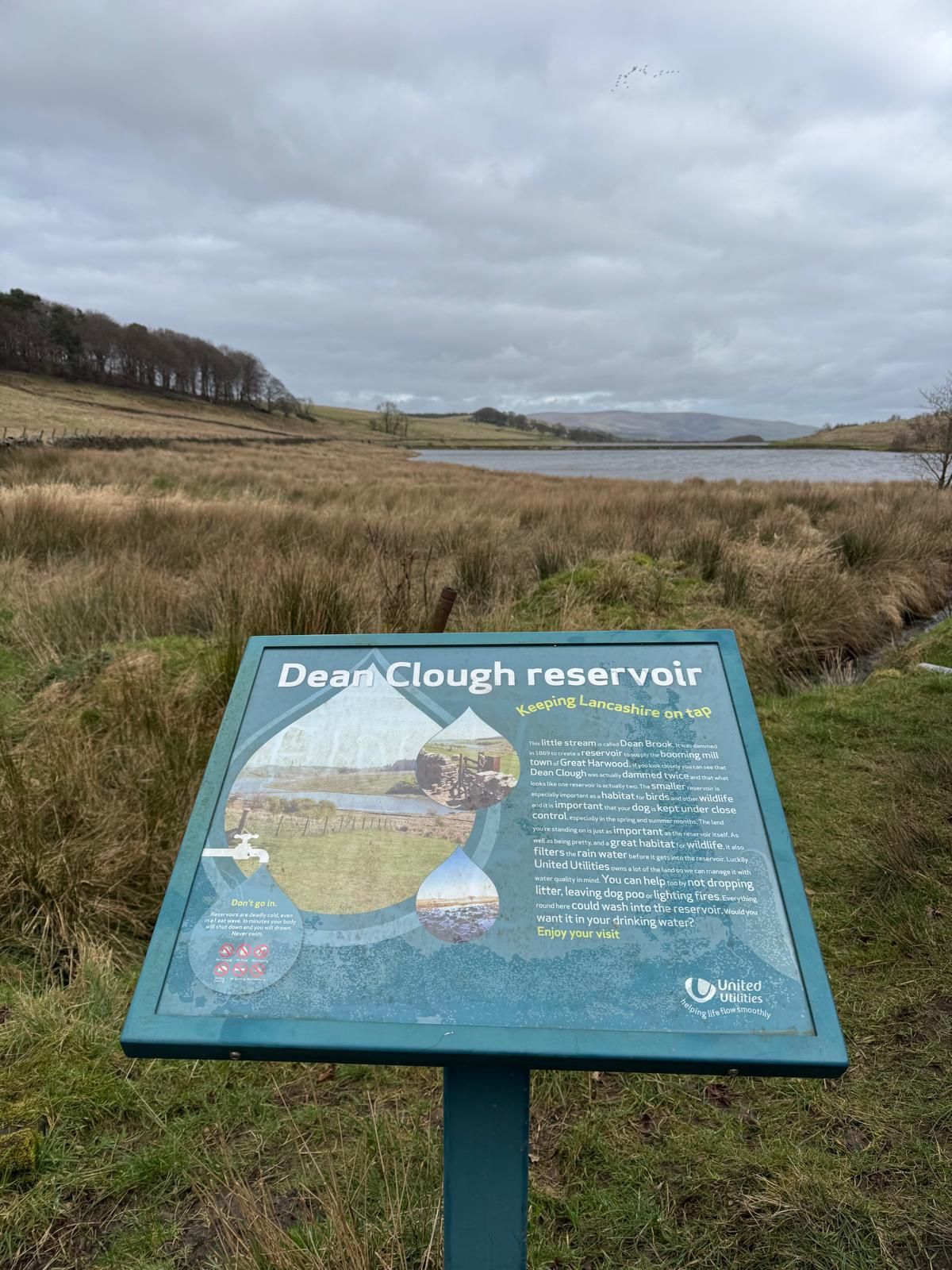

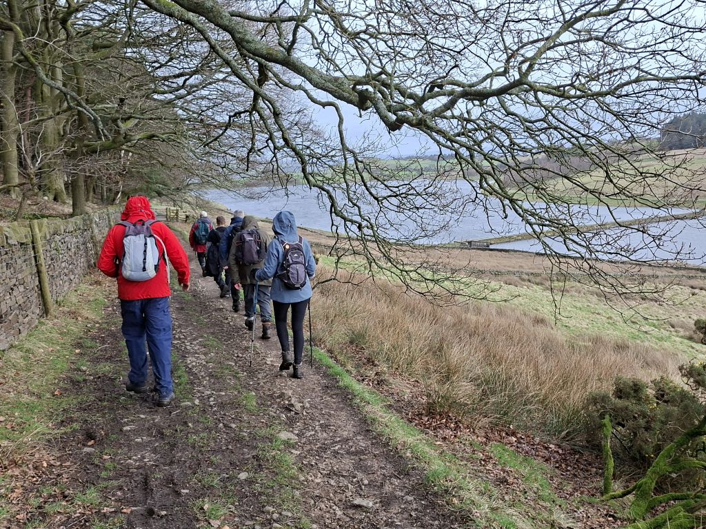
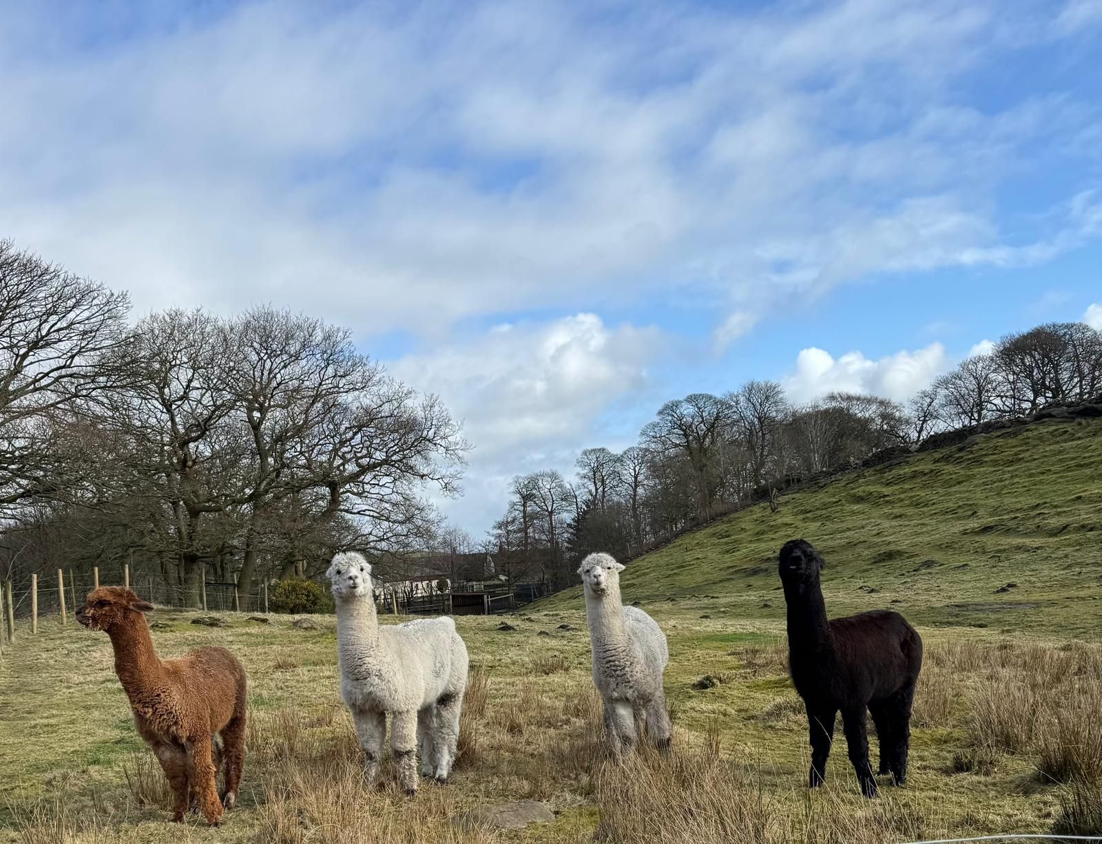
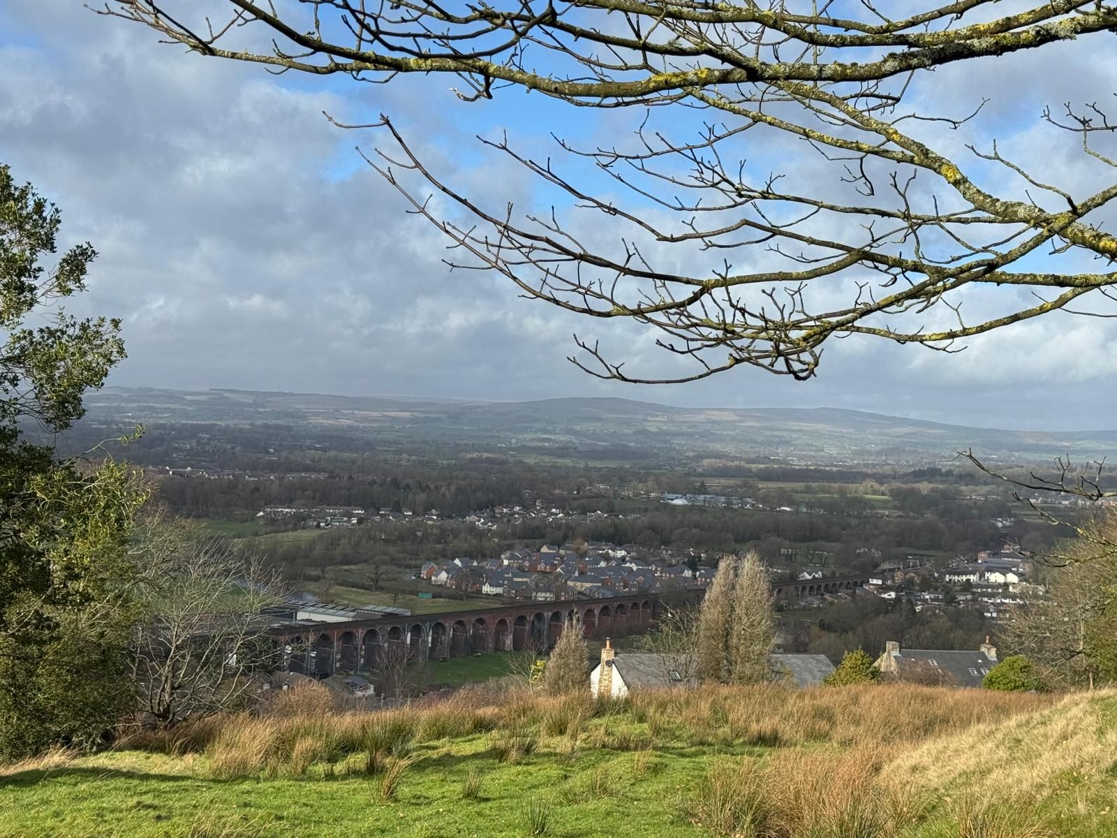
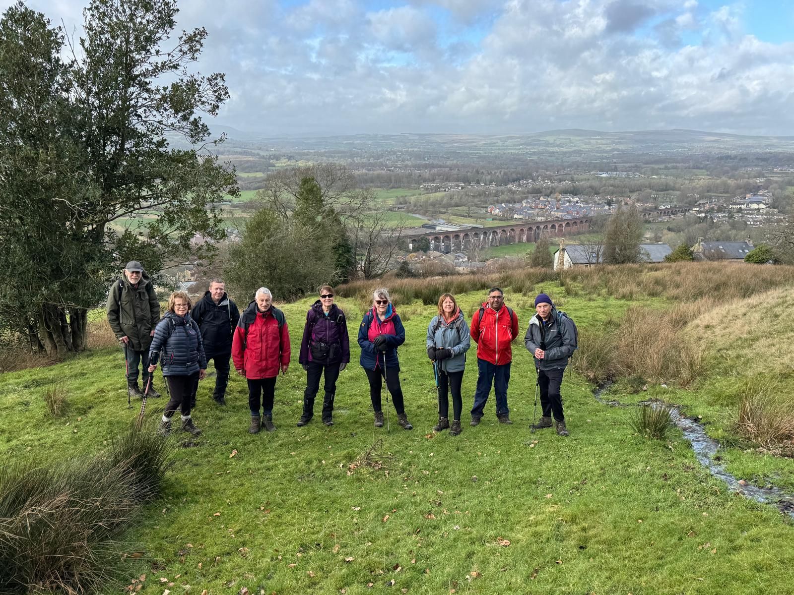


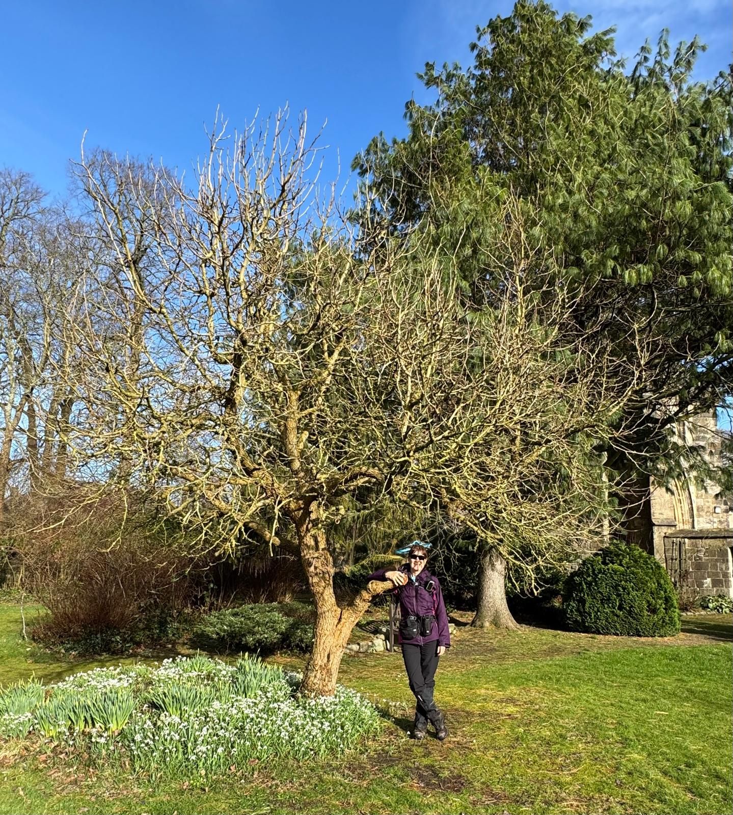
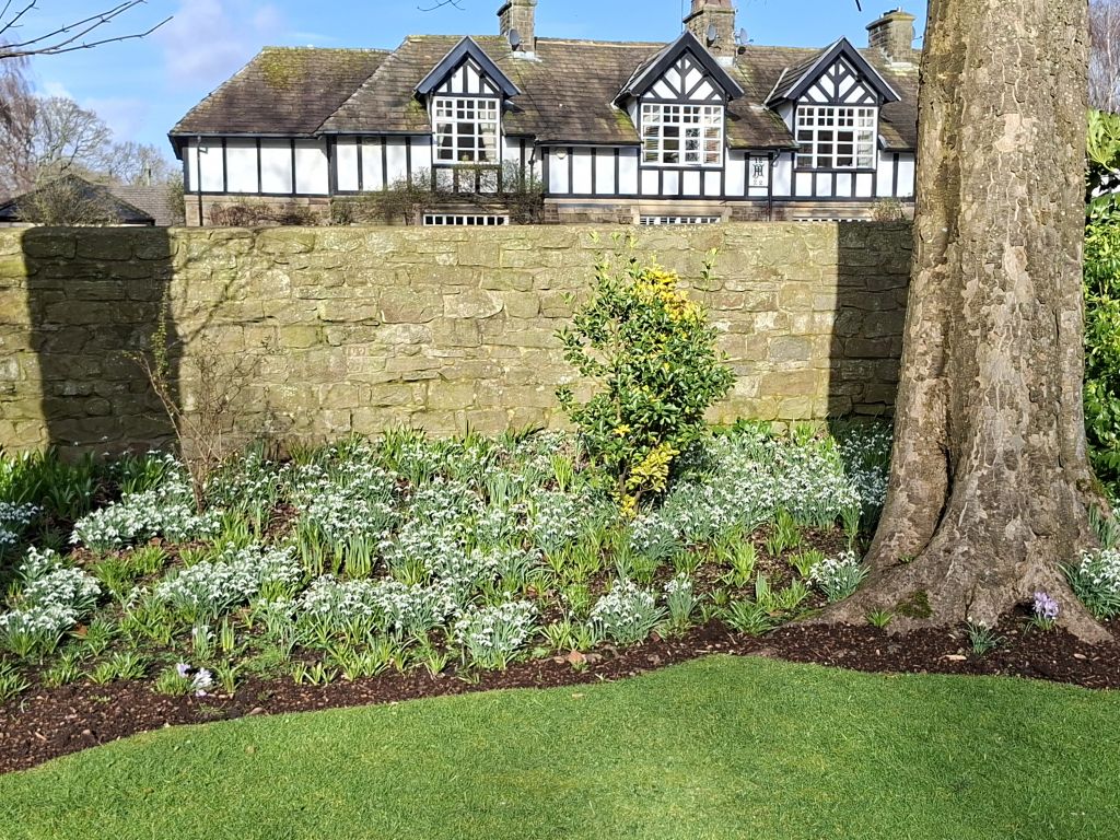
Starting from Spring Wood car park, a group of ten walkers set out on a 10.5‑mile scenic walk around the Whalley area. The route wound through Nab Wood and Dean Wood before skirting Dean Clough Reservoir and climbing up towards Black Hill, offering plenty of variety along the way. The final stretch brought the group into Whalley via the Abbey, where a brief stop allowed time to admire the snowdrops in bloom.
Although the walk included several moderately steep ascents and the paths were muddy underfoot, the sunny, dry weather made for excellent visibility and rewarding views across the surrounding countryside.
- Details
- Category: Walk Reports 2026
Two Lads Circular
- Walk Date: 2026-02-15
- Walk Distance: 10 miles
- Walk Grade: Moderate
- Walk Leader: Malcolm Chester
- Number of Walkers: 9
- Weather Conditions: Drizzle, Misty, Cold, Muddy
Click Photo for Closeup


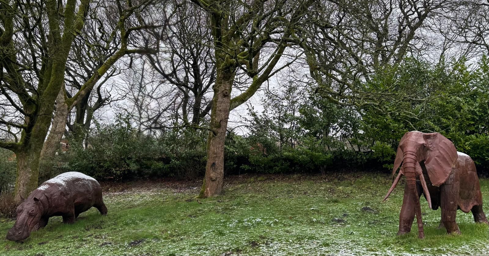
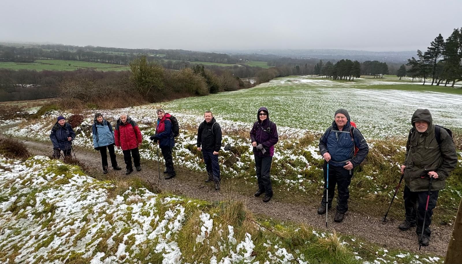
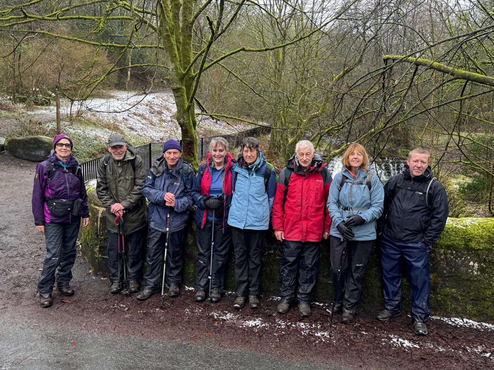
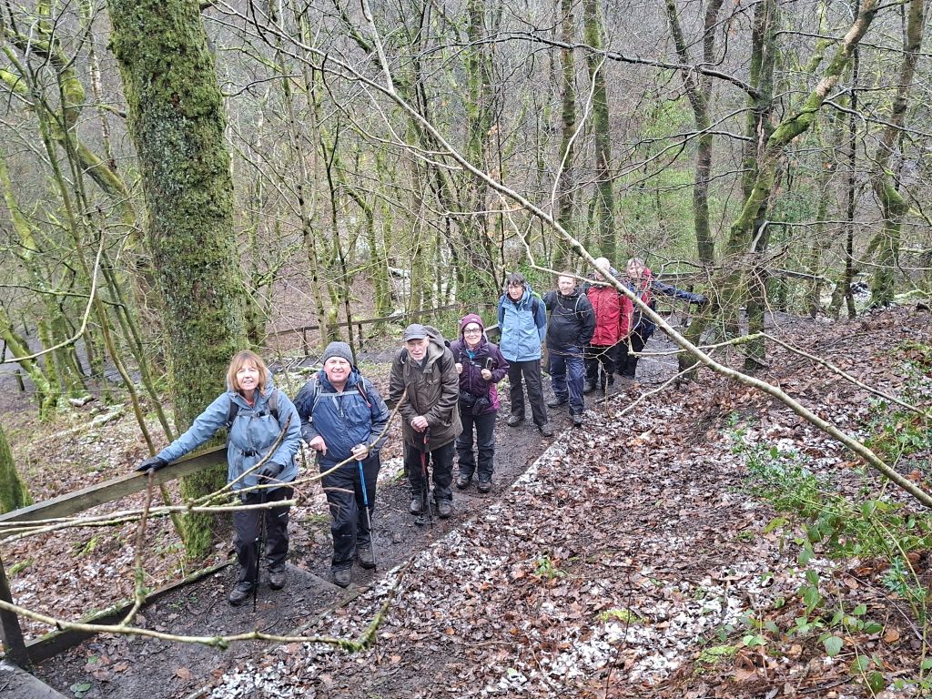


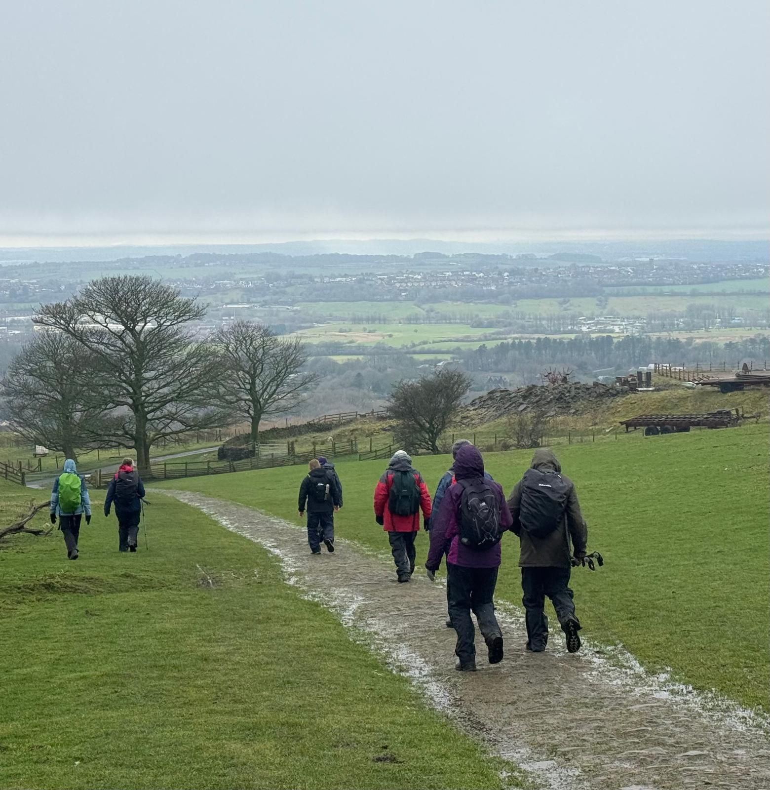
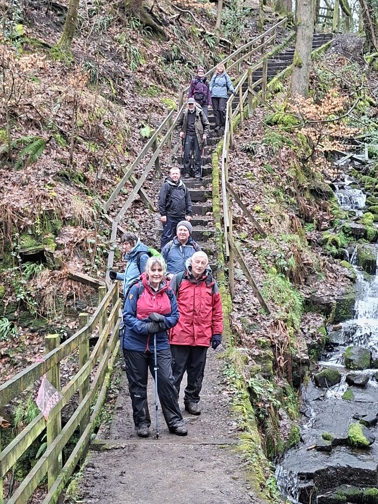
In cold, misty weather, Malcolm Chester led nine walkers on a circular route from Curley’s Dining Rooms near Horwich, taking in High Rid Reservoir, Doffcocker Lodge, Barrow Bridge, Walker Fold, the Smithills Estate and finally Two Lads on Crooked Edge Hill.
Underfoot conditions were muddy in several places, and patches of snow lingered across the Smithills paths and the summit of Two Lads. The mist stubbornly clung to the hilltops, hiding what would normally be far‑reaching views.
From Two Lads, the group descended to Pike Cottage before returning to the start via Tigers Clough, Wilderswood and Wallsuches.
After the walk, a few of us rounded off the day with drinks at the Jolly Crofter.
- Details
- Category: Walk Reports 2026