
Walk Reports 2026
Dunsop Bridge Round
- Walk Date: 2026-04-19
- Walk Distance: 9 miles
- Walk Grade: Moderate
- Walk Leader: Gill Kent
- Number of Walkers: 10
- Weather Conditions: Dry, Sunny, Cool
Click Photo for Closeup


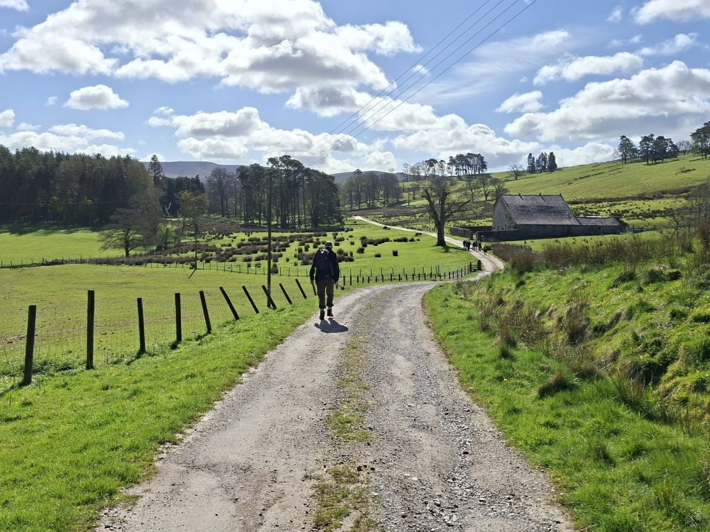
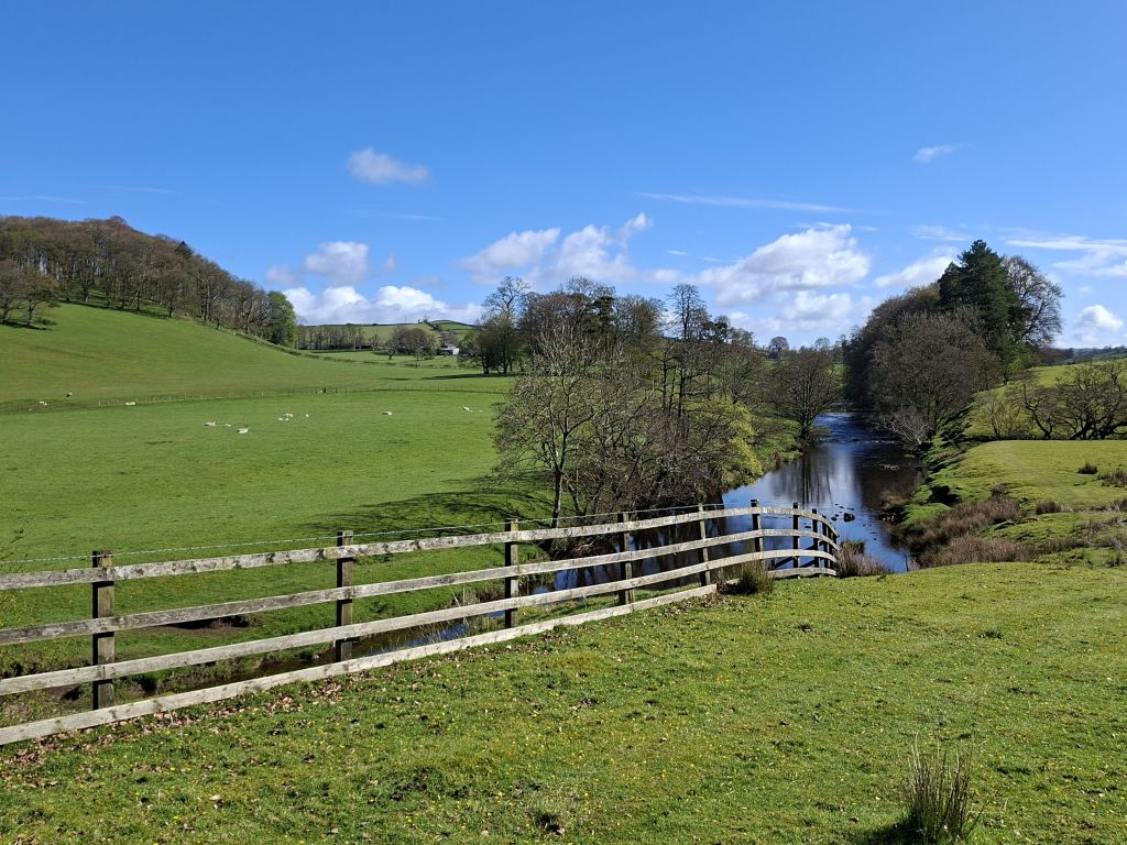
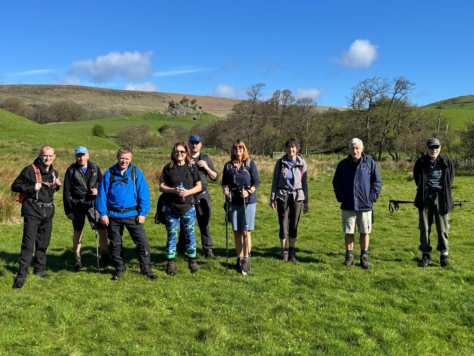
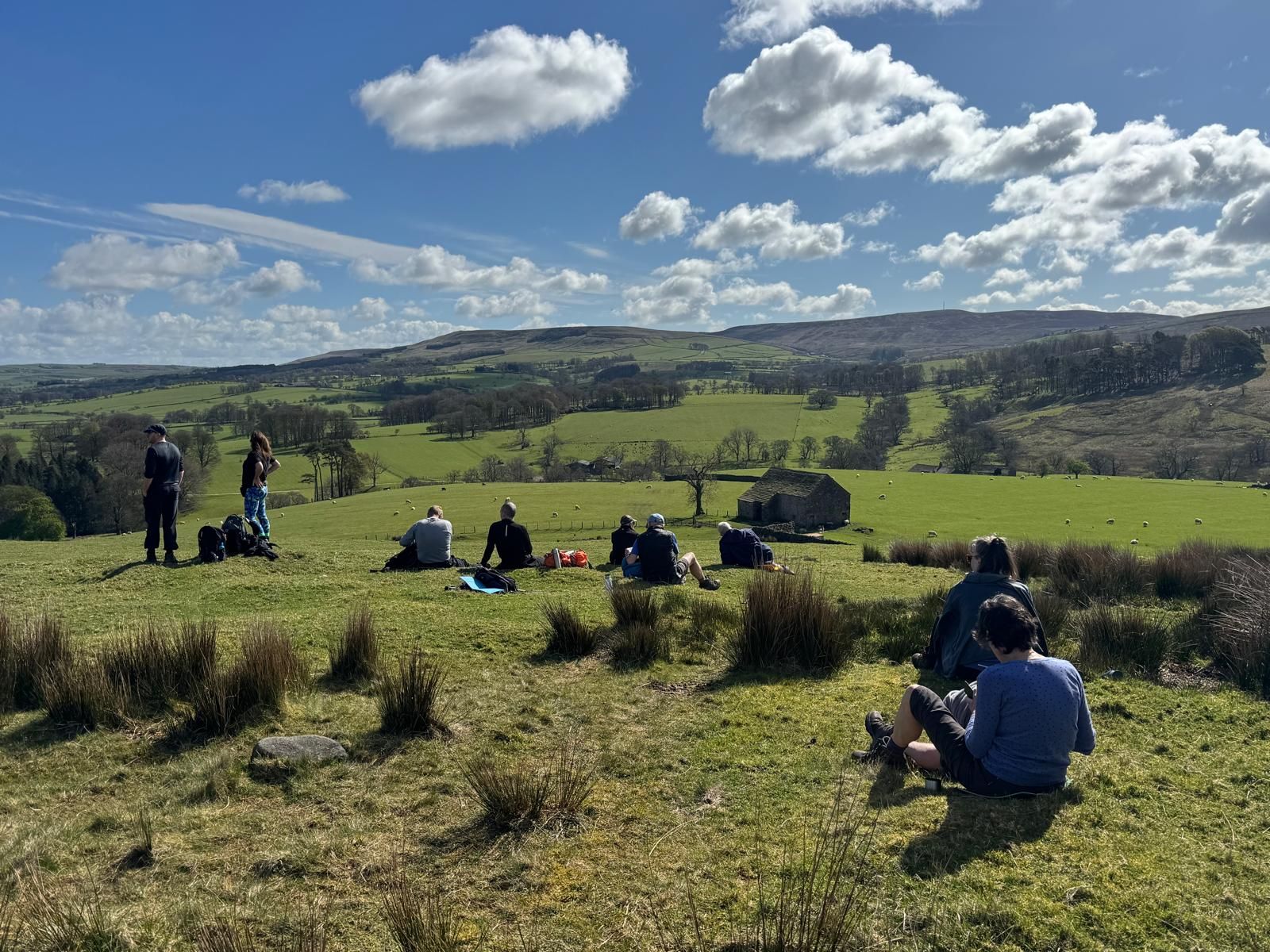
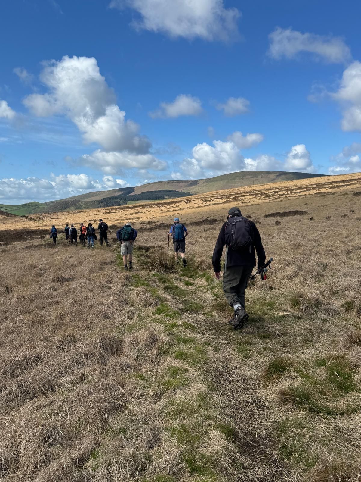

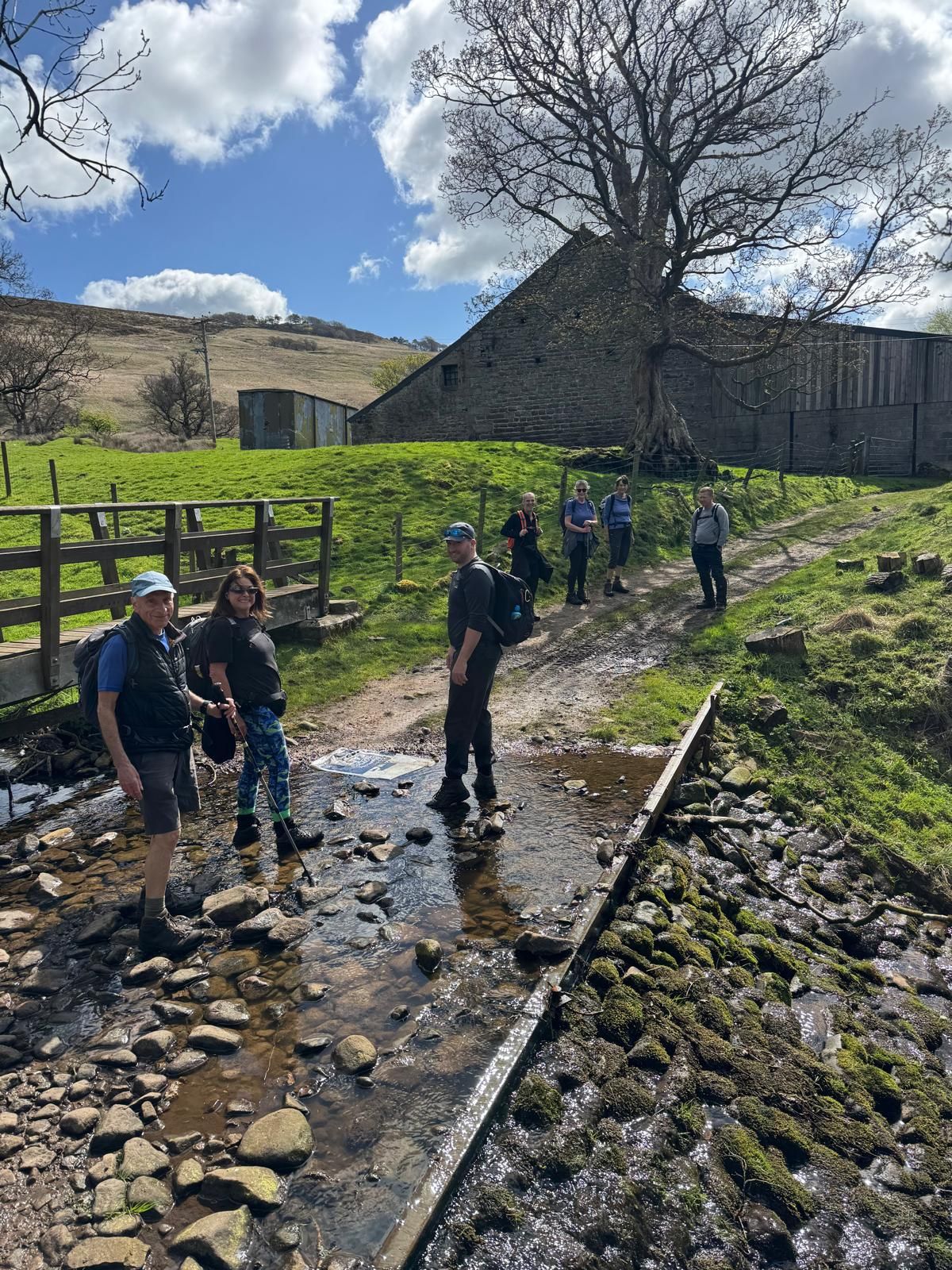

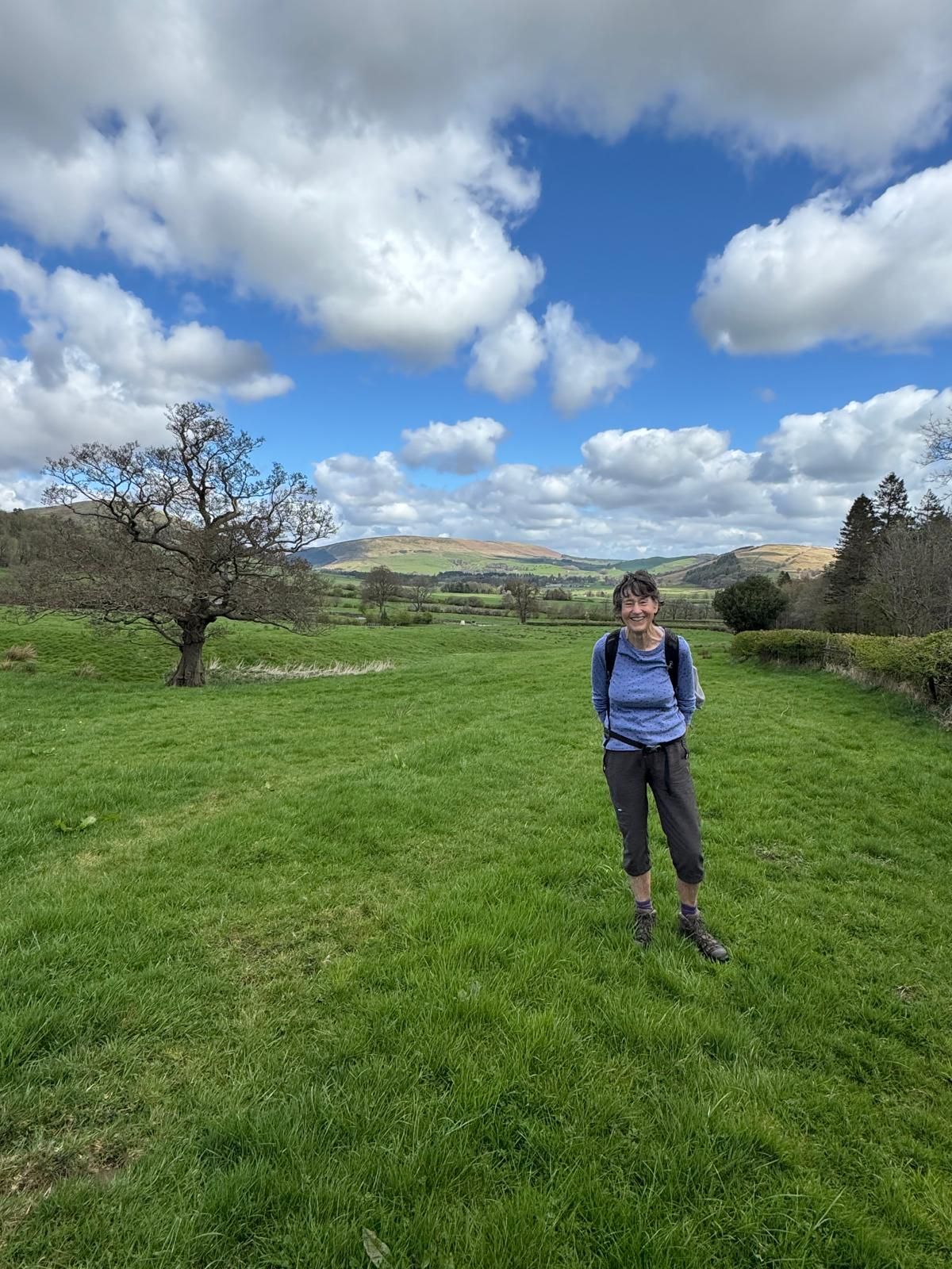
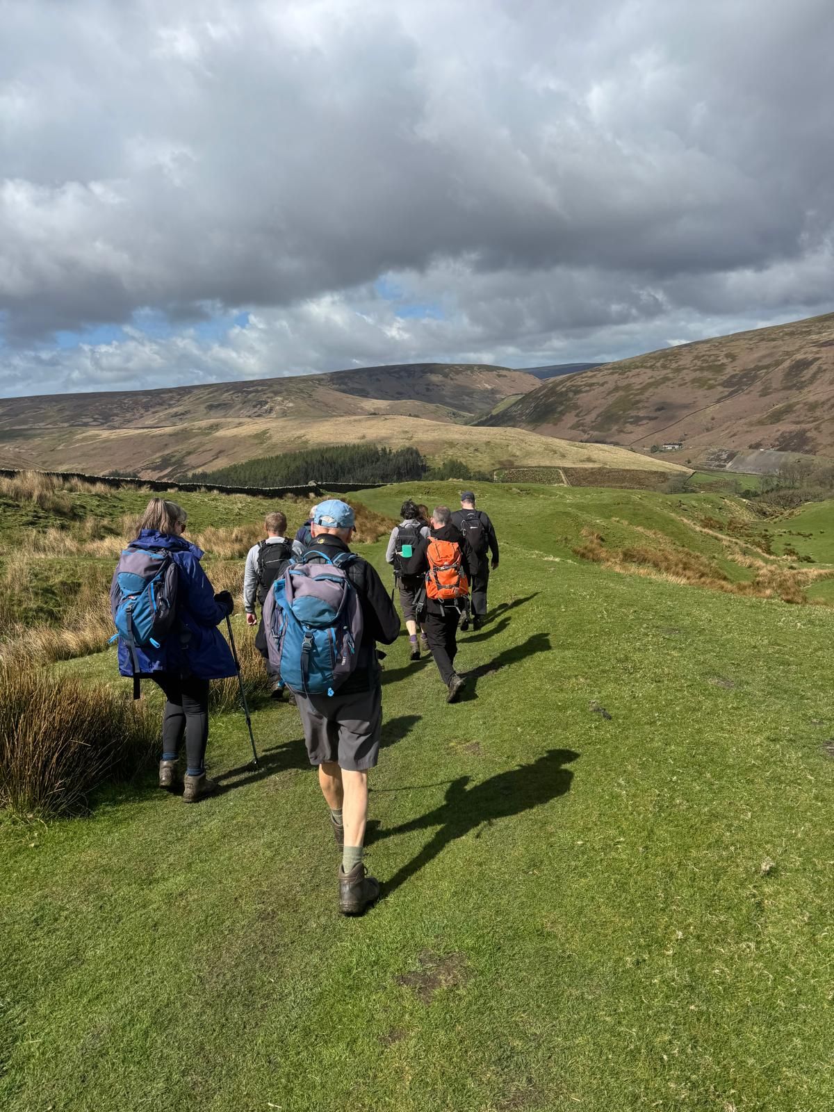
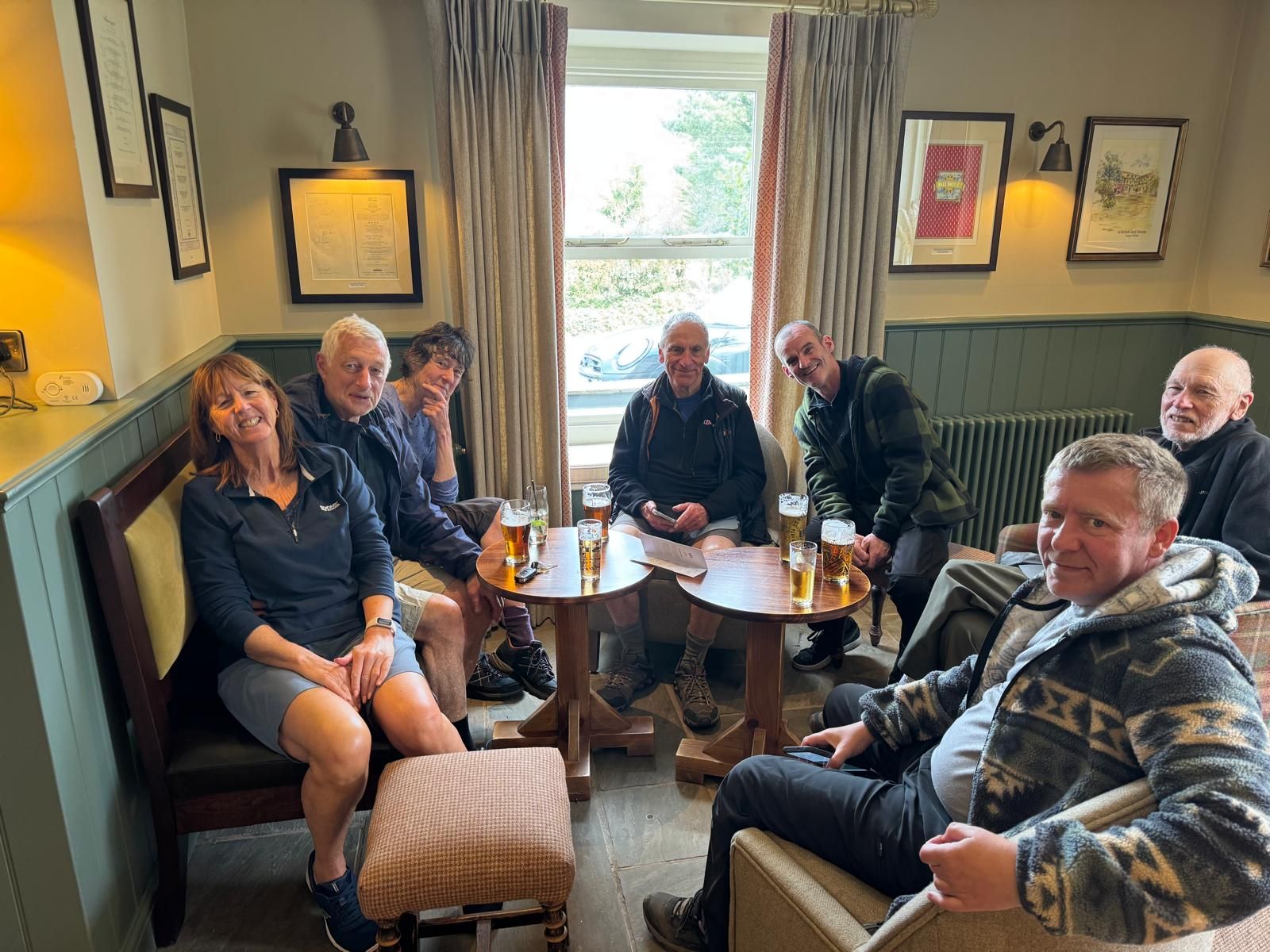
On a beautiful spring morning, Gill Kent led a group of 10 walkers on a 9 mile walk from Dunsop Bridge in the Forest of Bowland, an Area of Outstanding Natural Beauty (AONB) In Lancashire.
Starting from the car park at Dunsop Bridge, we first followed the River Hodder before crossing the river via a suspension bridge and then picked up the Ribble Valley Jubilee Trail up to Giddy Bridge. From here, we left the trail and climbed up Hodder Bank, stopping for a morning break, before continuing down to Burholme and along the road to Burmholme Bridge, where we turned off onto the Ribble Valley Jubilee Trail again. Climbing up the hill from the road, we entered Whitemore Wood, stopping at the top for our lunch break, before continuing across fields down to Hareden Farm. After a short section of road walking, we crossed farm fields back to the start, and for some, drinks at The Three Fishes Inn in Mitton near Whalley.
- Details
- Category: Walk Reports 2026
Farm in The Middle
- Walk Date: 2026-04-12
- Walk Distance: 9 miles
- Walk Grade: Moderate
- Walk Leader: Tracey Parton
- Number of Walkers: 12
- Weather Conditions: Wet, Windy, Cold, Muddy, Hail
Click Photo for Closeup


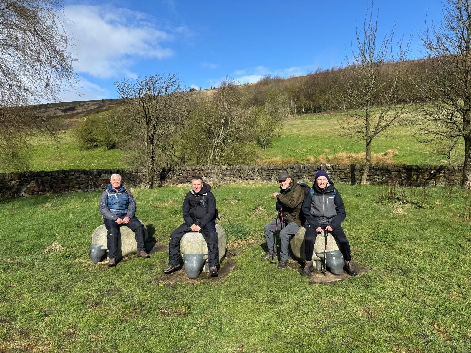
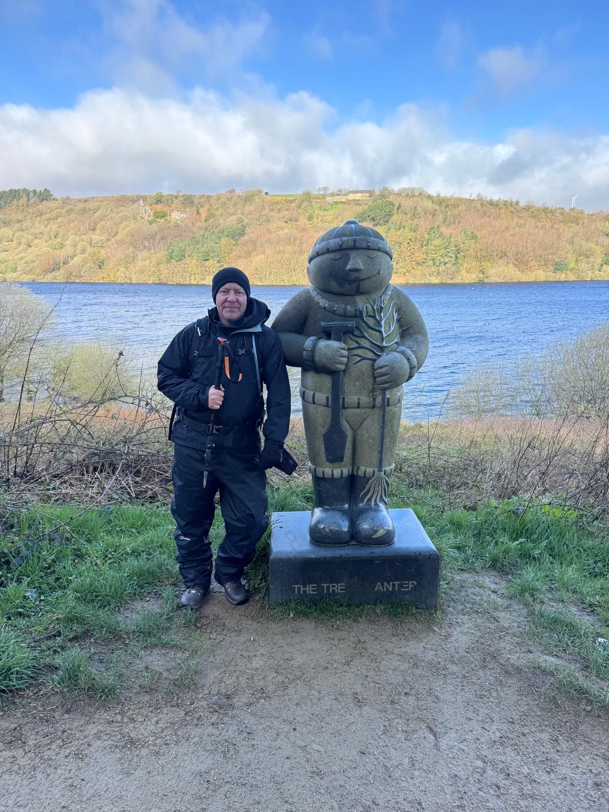
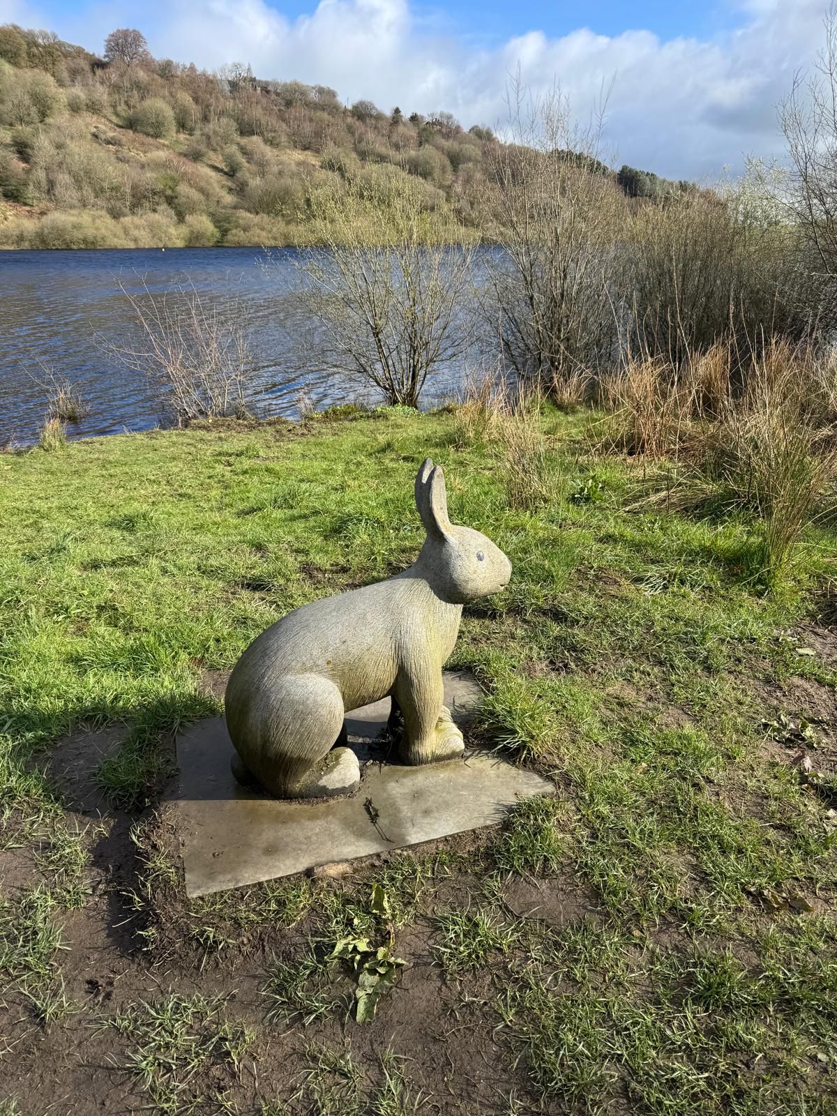
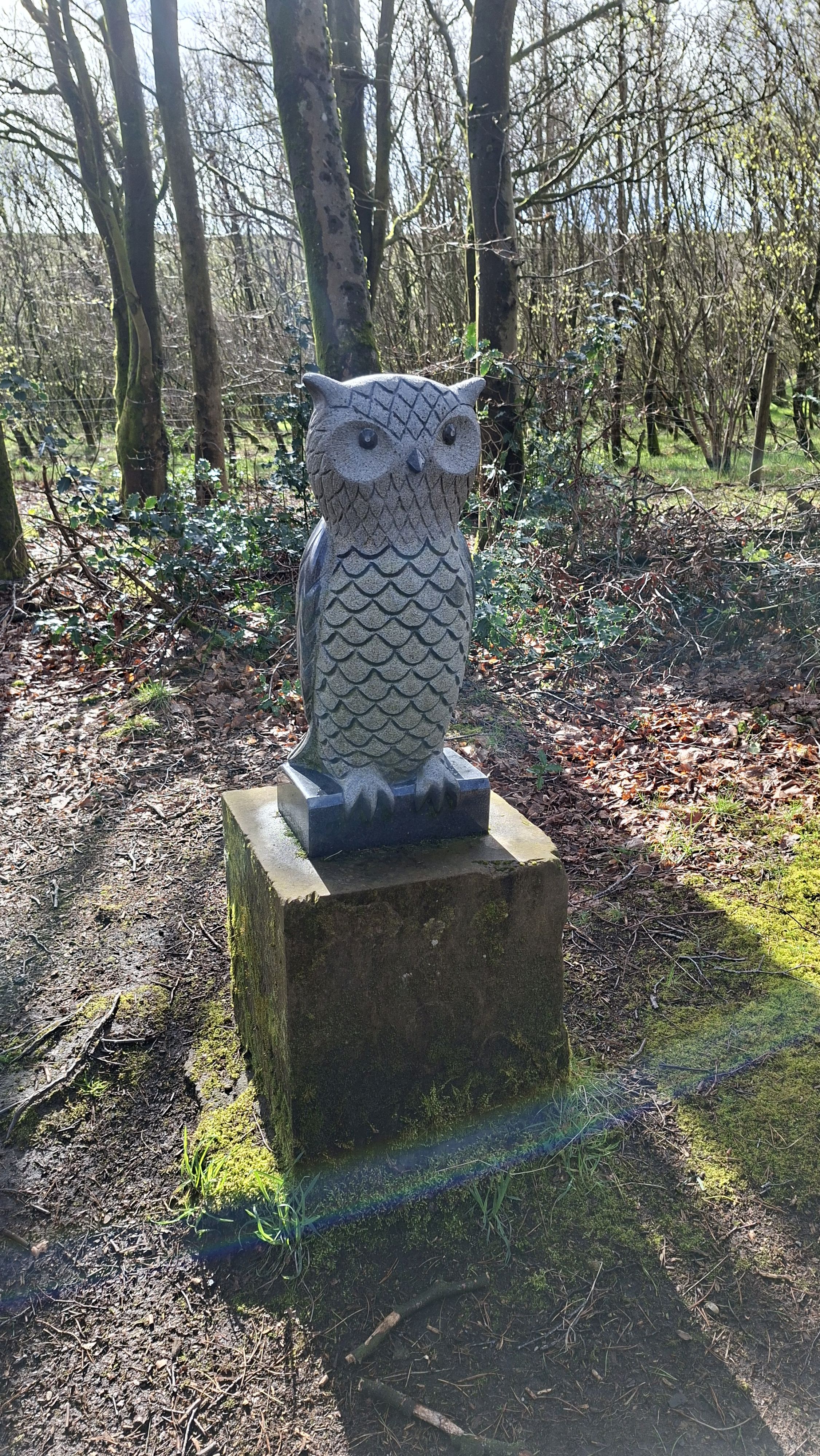

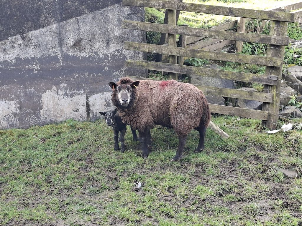

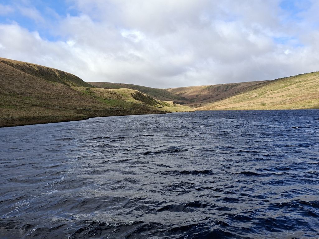
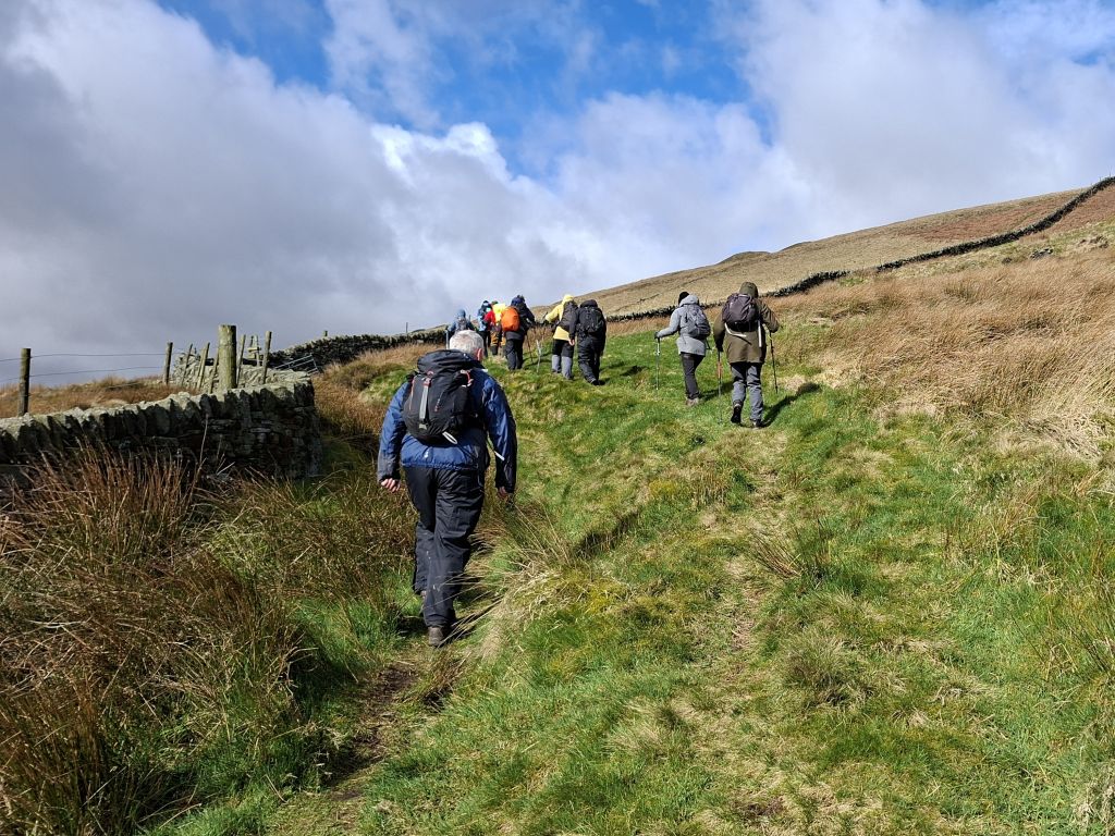
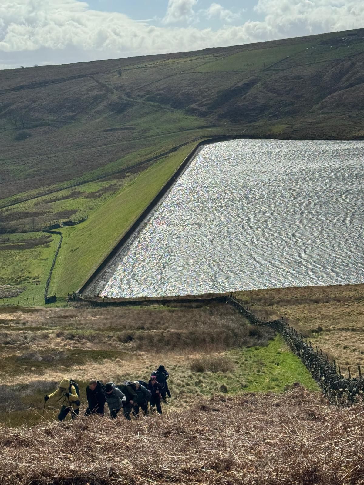
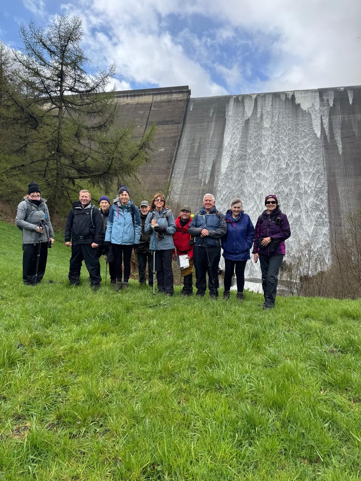
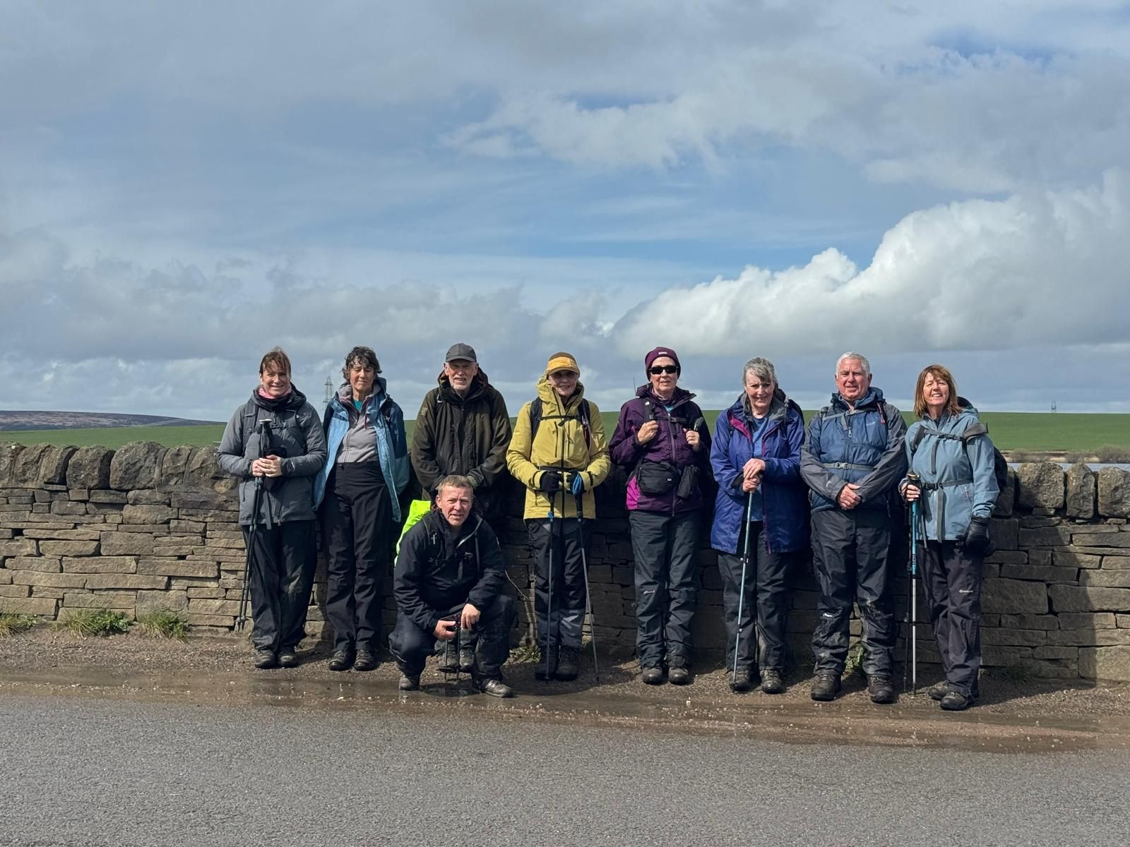
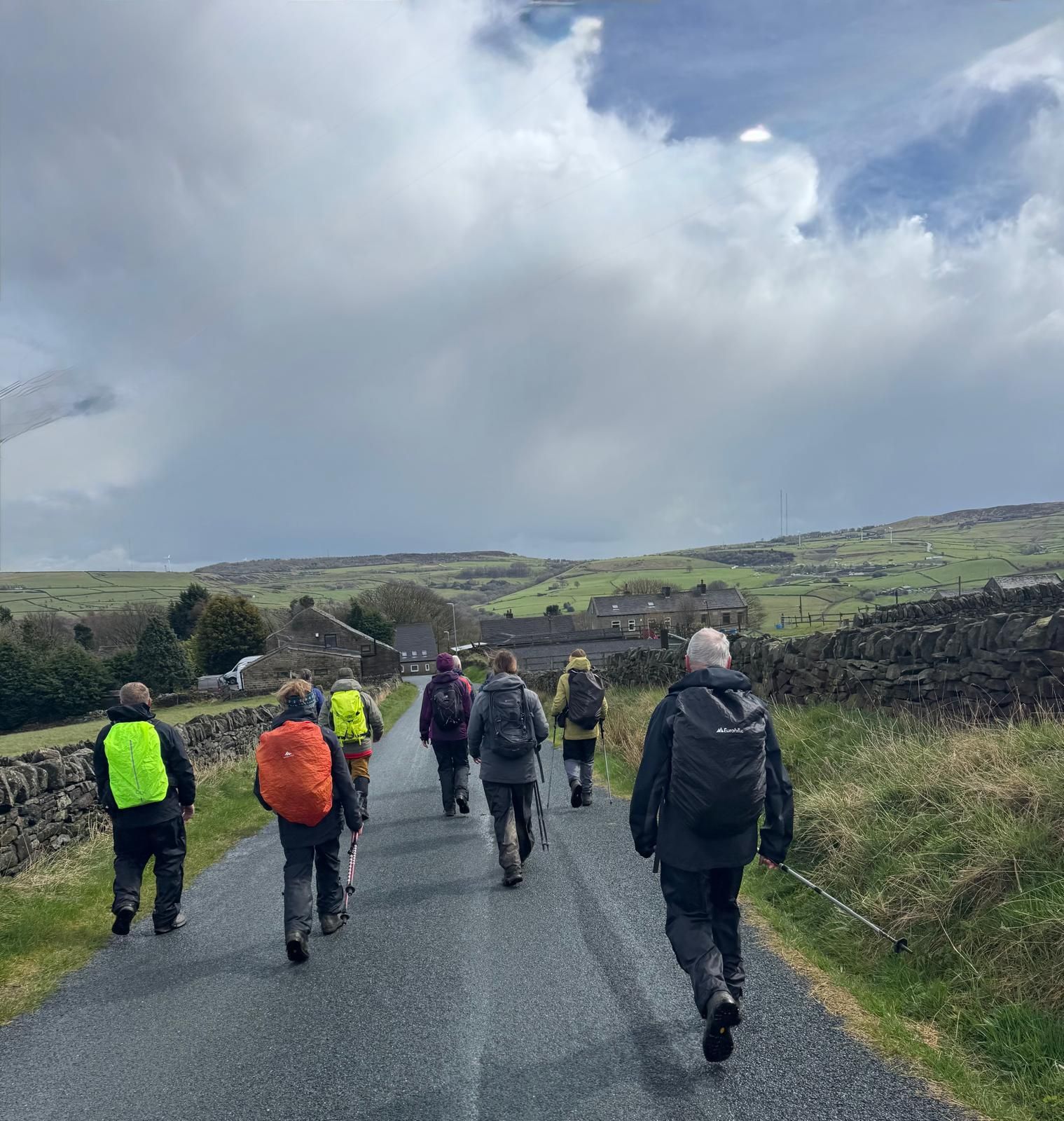
Stott Hall Farm is a farm located between the eastbound and westbound carriageways of the M62 motorway, on the border between Lancashire and Yorkshire, between junctions 22 and 23.
On a cold and windy morning, twelve walkers gathered at Scammonden Water for a nine‑mile undulating circular route taking in Stott Hall farm located between the two carriages on the M62. Setting off from the car park above Scammonded Water, we first descended, then walked along the side of the water before crossing Deanhead Reservoir dam wall and then climbed steeply up to B6114 Saddleworth road. Crossing the road, we continued across the moor before descending to the M62 underpass through Stott Hall farm, then continued down to Booth Dean Clough and the base of Booth Dean Clough dam wall, where we stopped to take photographs and admire the spectacular veil of water which was spilling over the dam wall.
We then continued across the A672 road and climbed steadily across Rishworth Moor to Pike End, in deteriorating weather conditions and driving Hail, before descending to Saint John's Church at Rishworth for the lunch stop. After the lunch break, we continued past Rishworth Mill, now Rishworth Palace Apartments, along Cock Pit Lane and Scammonden Road to Scammonden Water and back to the start, where the weather had, by now, improved and the sun was shining.
- Details
- Category: Walk Reports 2026
Todmorden to Trough Edge End Circular
- Walk Date: 2026-04-05
- Walk Distance: 10 miles
- Walk Grade: Moderate
- Walk Leader: Malcolm Chester
- Number of Walkers: 8
- Weather Conditions: Windy, Cold, Muddy, Hail
Click Photo for Closeup


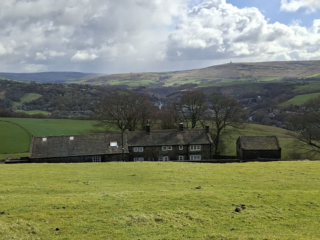

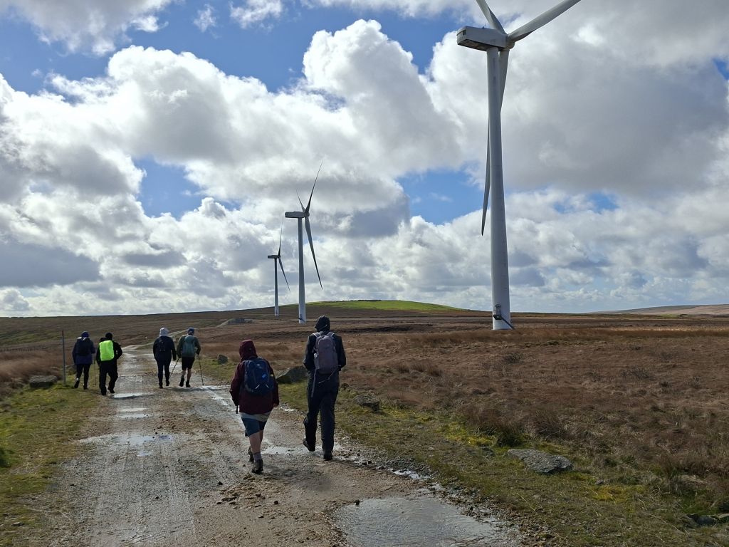
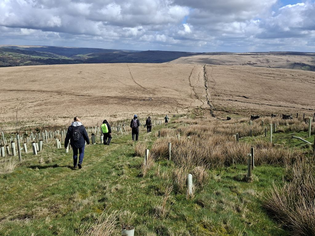
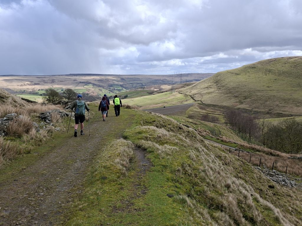
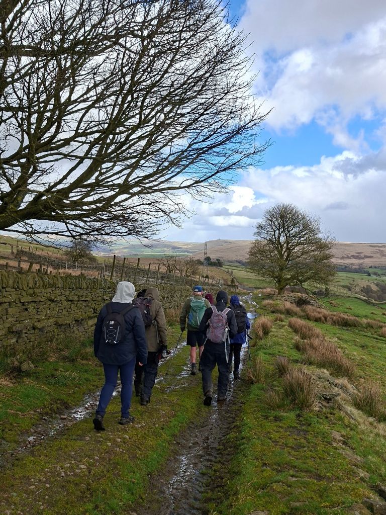
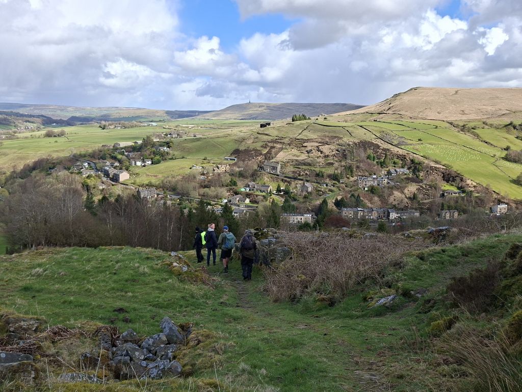
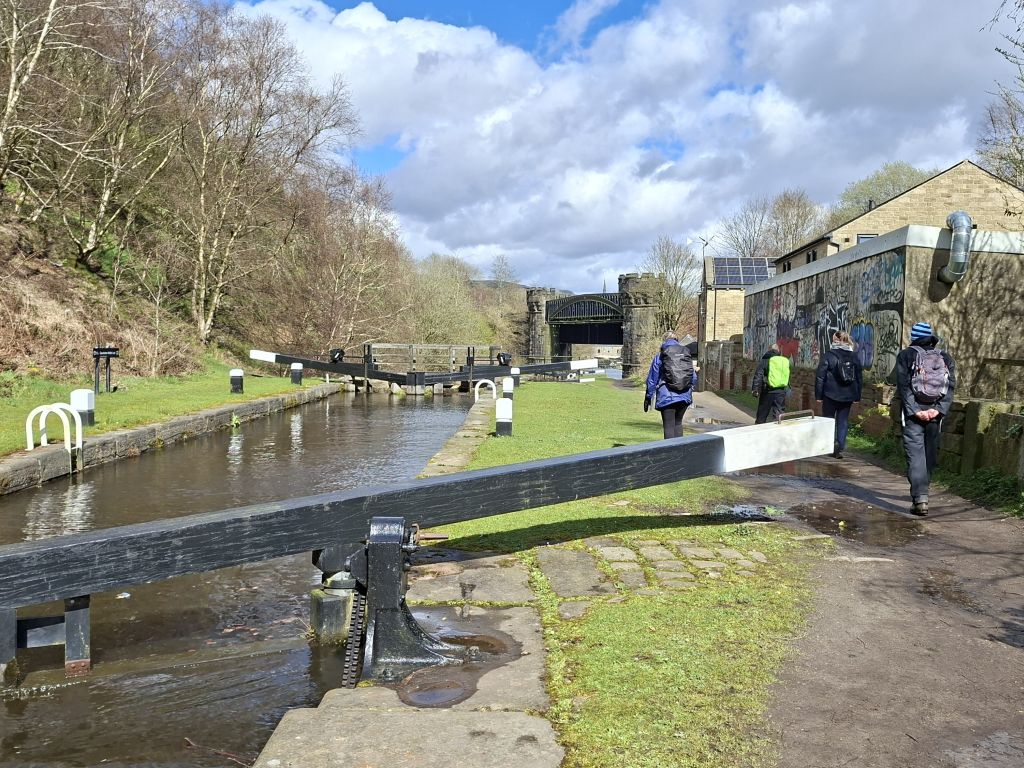
On a cold, wet and windy morning, ten walkers gathered in Todmorden for a ten‑mile circular route taking in Todmorden and Inchfield Moors. Setting off from Myrtle Street car park, we followed the Rochdale Canal before climbing steadily up to Gauxholme. From there, the route joined the Calderdale Way towards Parkin Lane and continued along Flower Scar Road to reach Todmorden Moor. This spot marks the start of the Todmorden Moor Geology and Heritage Trail, complete with information boards highlighting the area’s industrial and geological history.
Crossing the moor, we picked up the Rossendale Way at Bacup Road and walked alongside the line of wind turbines before turning onto the Todmorden Centenary Way towards Trough Edge End. We descended to a disused mine ruins where we stopped for lunch, then walked past the empty Ramsden Clough Reservoir to Foul Clough Road.
At Brown Road Farm, we left the track to cross Inchfield Pasture, descending back towards Gauxholme. A final stretch along the Rochdale Canal returned us to Todmorden.
- Details
- Category: Walk Reports 2026
Chipping Round
- Walk Date: 2026-03-29
- Walk Distance: 10 miles
- Walk Grade: Moderate
- Walk Leader: Gill Kent
- Number of Walkers: 9
- Weather Conditions: Wet, Windy, Cold, Muddy
Click Photo for Closeup


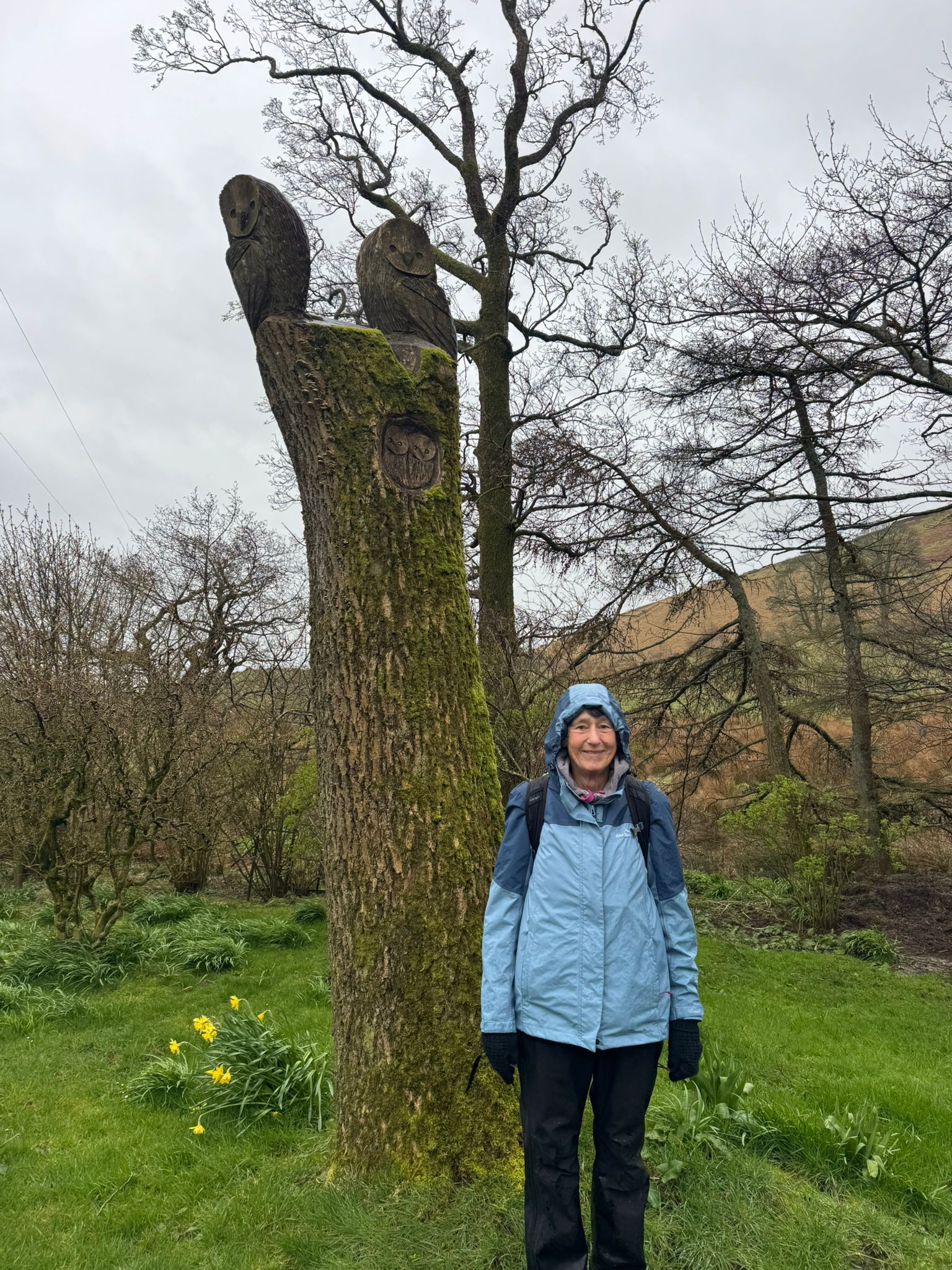
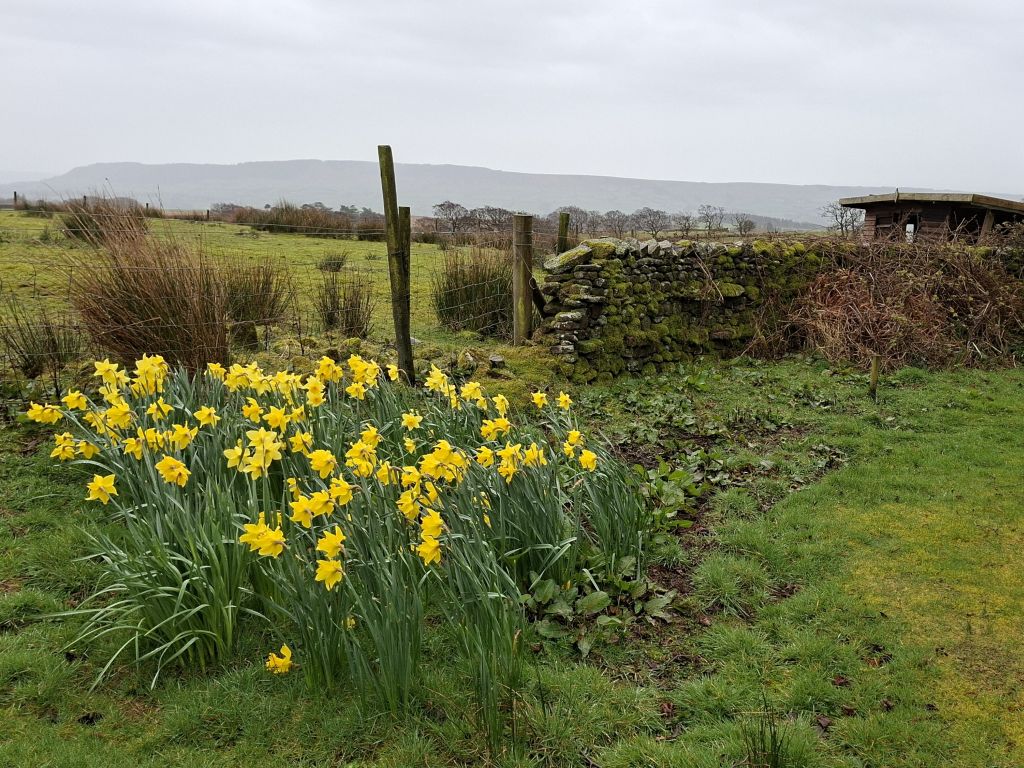


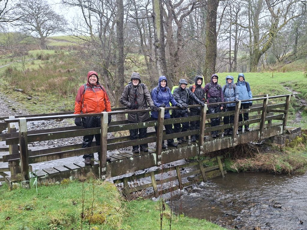
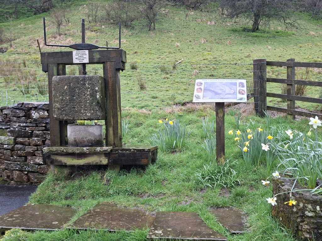
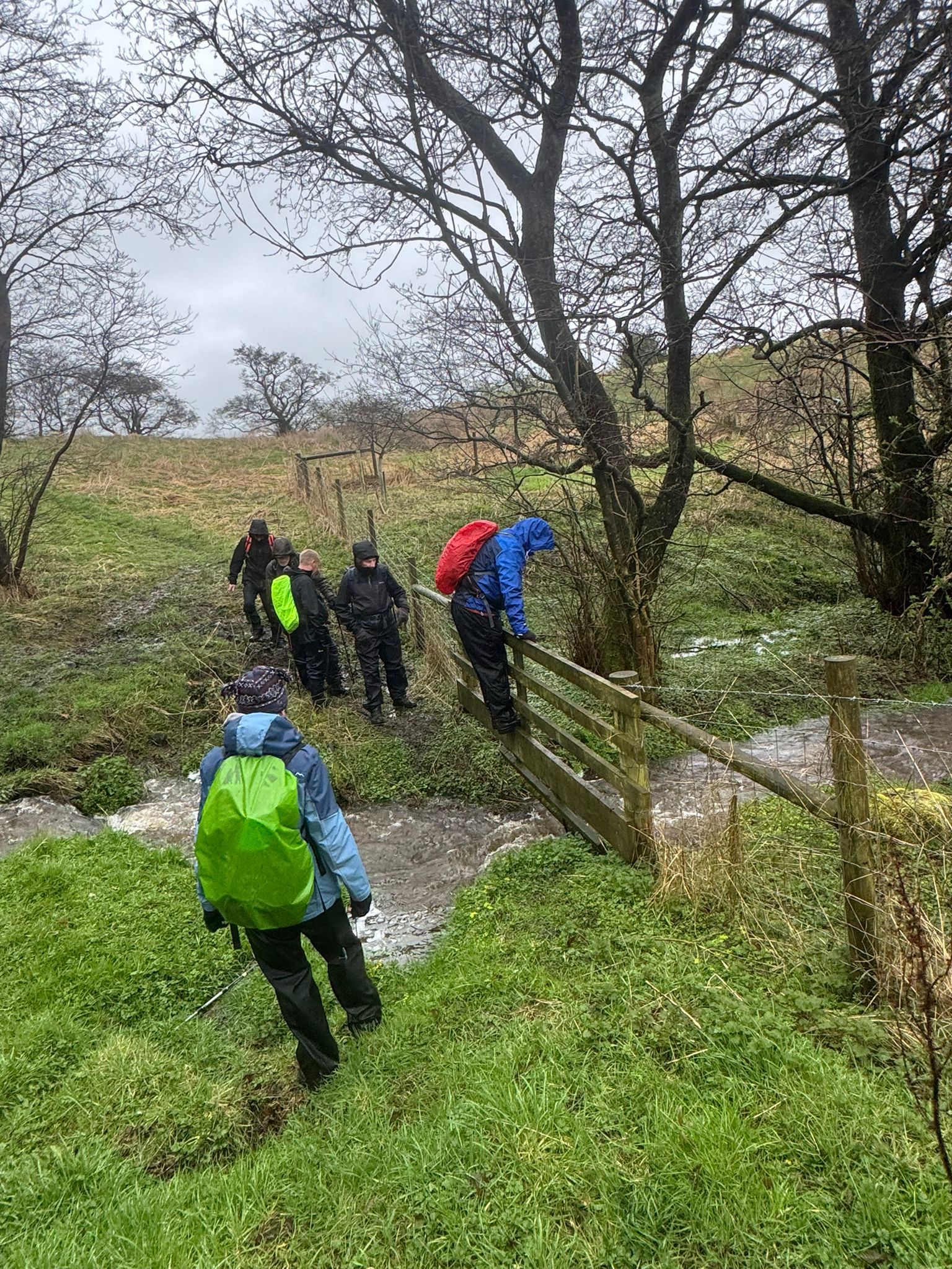
On a cold, wet and windy day, 9 walkers gathered in the car park at Chipping for this week's walk led by Gill Kent. A 10 mile circular walk in the rolling Bowland countryside surrounding Chipping.
Starting from Chipping, the route went north via Saddle End farm, climbing steadily to the high point of the walk at Burnslack, then continued to Lickhurst Farm and Dinkling Green, stopping on the way for the morning break and cake provided by Gill. We then continued along the Ribble Valley Jubilee Trail, then south to New Laund farm, where the farmer allowed us to take shelter from the rain in his farm barn while we ate our sandwiches. After our break, we continued in increasingly wet and windy conditions across muddy fields and tracks back to Chipping via Fair Oak, Higher and Lower Greystoneley and Knot Barn.
Because of the inclement weather and difficult walking conditions, the group decided not to go for drinks after the walk but to go straight home instead.
- Details
- Category: Walk Reports 2026
Brindle
- Walk Date: 2026-03-22
- Walk Distance: 10.5 miles
- Walk Grade: Moderate
- Walk Leader: Alan Pilling
- Number of Walkers: 13
- Weather Conditions: Dry, Cool
Click Photo for Closeup


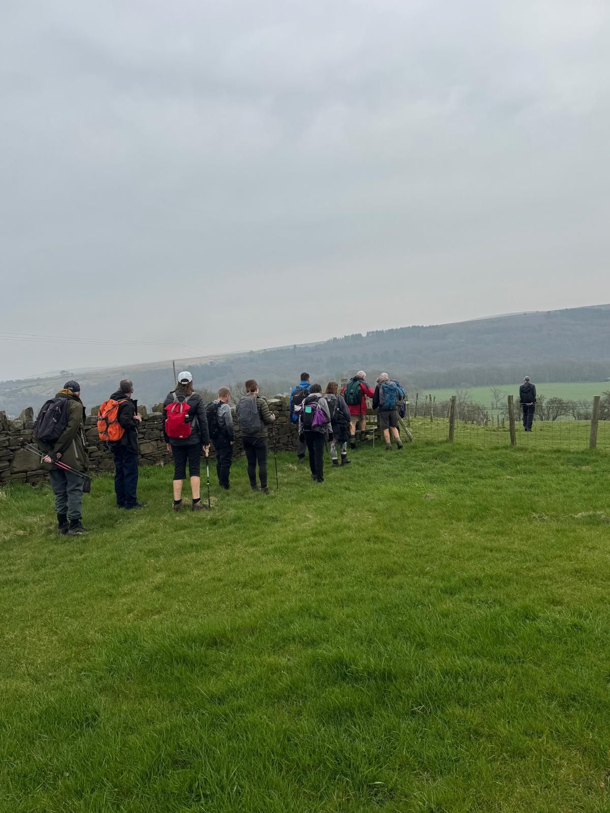

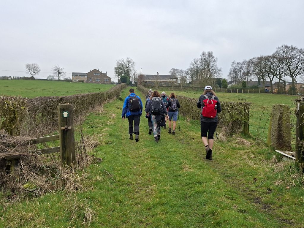

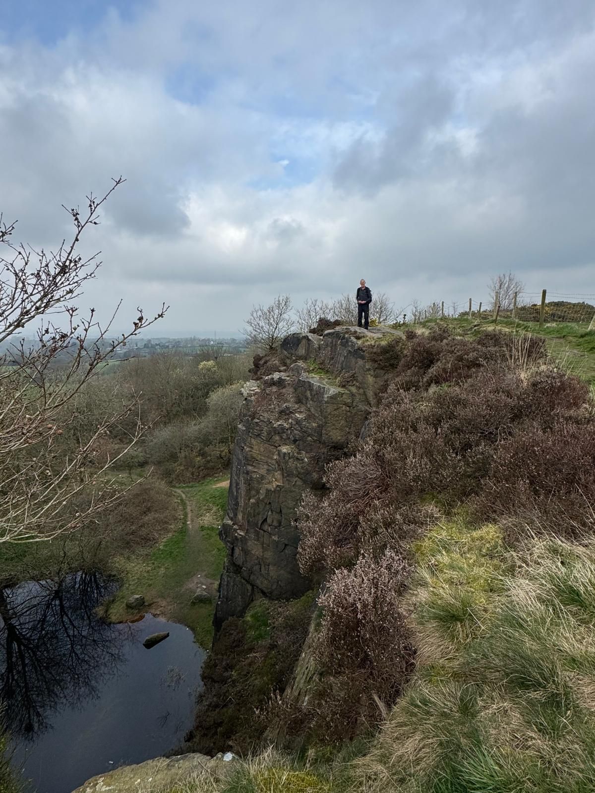

On a dry, but cool morning, 13 walkers met in Brindle Community Centre carpark for a 10.5 mile walk around the Lancashire countryside, led by Alan Pilling.
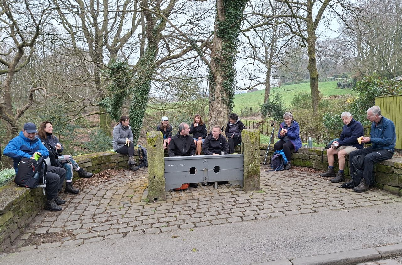
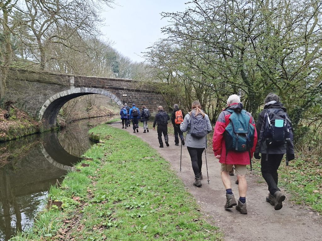
The route followed lanes and footpaths to Withnell Fold via Ollerton farm, crossing the Leeds and Liverpool canal on the way, where we stopped at Withnell Fold stocks for the morning break. The stocks are a Grade II listed, historic punishment stocks, located in the conservation village of Withnell Fold. After the break, we continued via the canal and Higher Wheelton to Brinscall Hall, then on to Wheelton and Hough Hill, stopping for a lunch break on the way. Access to Hough Hill was via Denham Quarry and involved a steep ascent up the side of the quarry to reach the summit, where great views of the Lancashire plain from Hough Hill were available. From there, we descended down to the bottom and back to the start.
After the walk, to round off a great walk, the group went to the Carvendish Arm for drinks.
- Details
- Category: Walk Reports 2026