
For photo(s) from the walk(s), see month
Click for Closeup


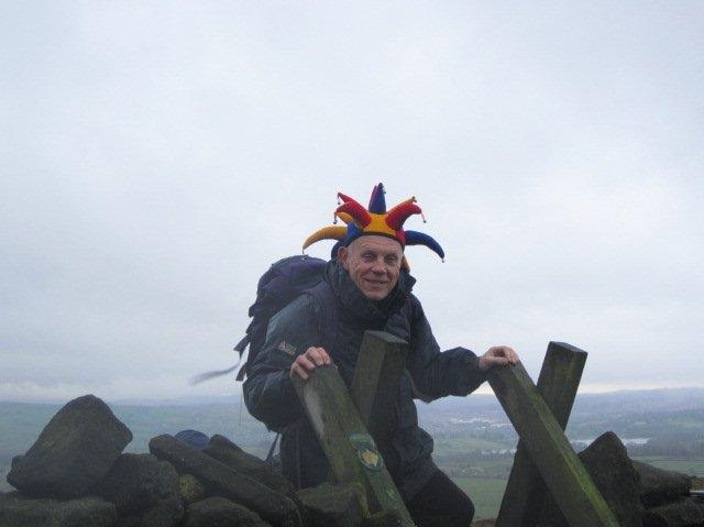




Sunday 28 December - Nangreaves & Holcombe Brook (from Bury) (Moderate: 12 miles)
For the final walk of 2014, Simon Holder led a small group of 6 on this walk, on a fine day which started below zero, with the temperature rising slowly in the winter sunshine during the day. The low turnout may have been the result of the conditions underfoot, sometimes icy, especially on the higher ground. The walk started from Bury Interchange and continued through Burrs Country Park, along the Sculpture Trail, turning north to climb up to Nangreaves and on to the ruins of Grant's Tower. The route was then downhill into Nuttall Park and on to Holcombe Brook and Holly Mount, and then Greenmount and the Kirklees Valley, taking the Kirklees Trail back to Bury.
Sunday 21 December - Foulridge – Beating the Bounds (Moderate: 10 miles)
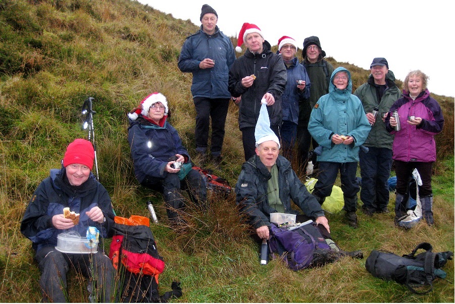
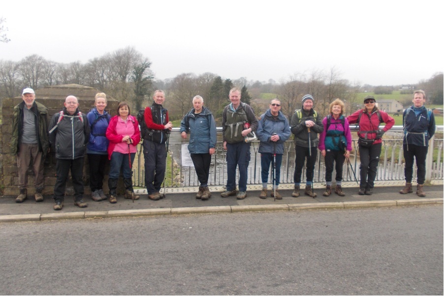
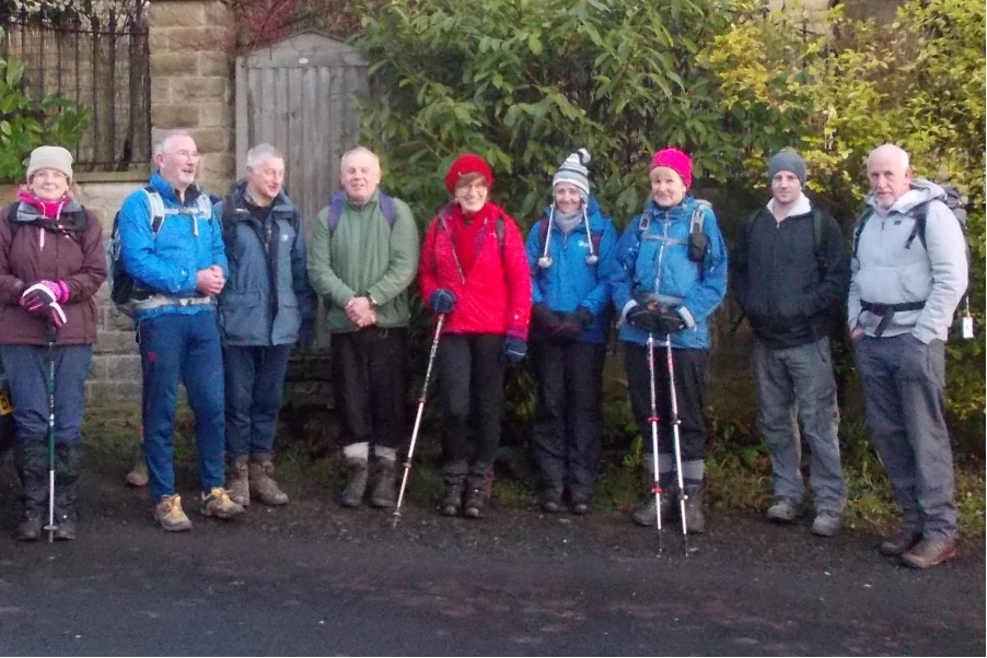
Ian Pickup led a group of what looks to be 11 from the photo, which was taken by Harry Waddington. Chris Langabeer described it as "one of the wettest and muddiest walks of the year!!"
The outline route was Foulridge – Foulridge Upper Reservoir – Causeway Top – Great Edge – Kelbrook Wood – Mere Clough – Mill Hill Bridge – Hey Fold – Slipper Hill Reservoir – Foulridge Lower Reservoir – Foulridge.
The wearing of festive dress was encouraged, although by its nature, most festive dress unfortunately has poor water resistant qualities.
Sunday 14 December - Christmas Lunch and Walk
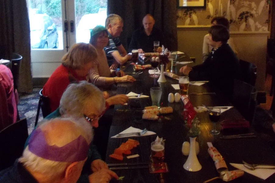
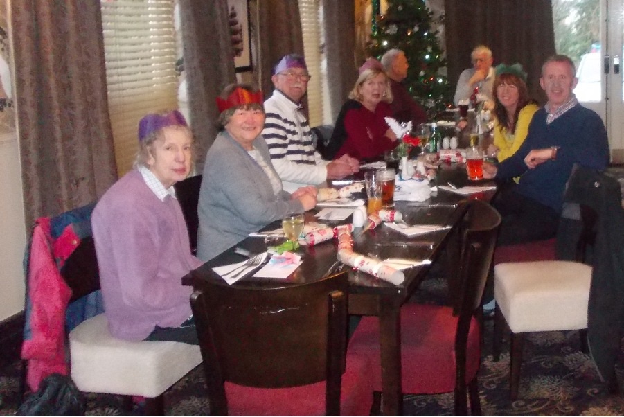
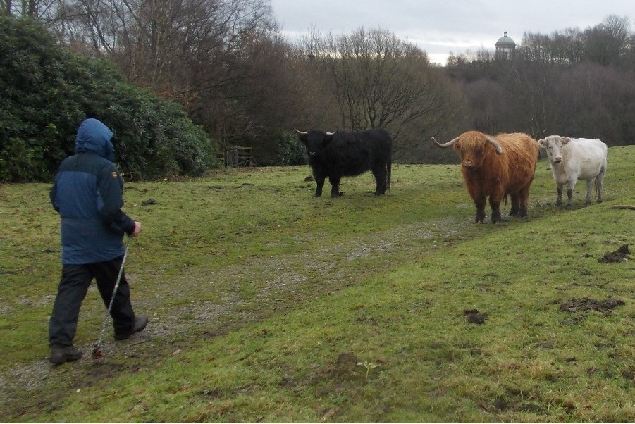
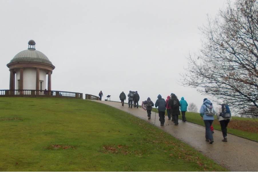
For the Christmas Lunch Walk, Jean Royle led a group of initially 17, later 18, on a fascinating 6 mile tour of Heaton Park, starting and finishing from the Woodthorpe Hotel in Prestwich. Jean was assisted by Tracey, who at the break provided mince pies, whilst Jean dispensed mulled wine. The walk took in the reservoir, the boating lake, the tramway, the papal monument from 1982, the Old Town Hall Colonnade, Heaton Hall, the Temple and also some highland cattle and friendly squirrels. After the walk, the group swelled to 26 for a fine, traditional Christmas Lunch in the Woodthorpe.
Sunday 7 December - Whimberry Hill (Moderate: 11 miles)
Chris Langabeer led a group of 6 on this walk. The weather was unpleasant at times, cold with strong winds, rain, snow and hail, but with some sunny intervals. The walk started from the Jolly Crofters PH on Chorley Old Road, Horwich and proceeded past High Rid Reservoir, before crossing Chorley Old Road to reach Bolton Old Links Golf Club and Barrow Bridge. From Barrow Bridge it continued via Horrocks Fold, passing some heavy gunfire and crossing Hampson’s Pasture to Whimberry Hill, to arrive at an unnamed reservoir. The route took the group across Wilder’s Moor and through Wilderswood, eventually passing the Wallsuches reservoirs, and then returning to the start.
Click for Closeup




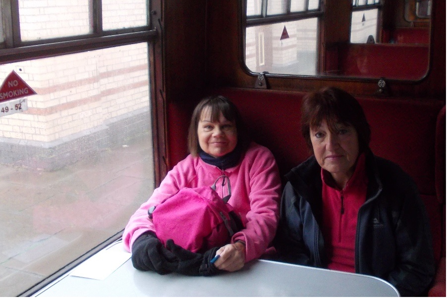
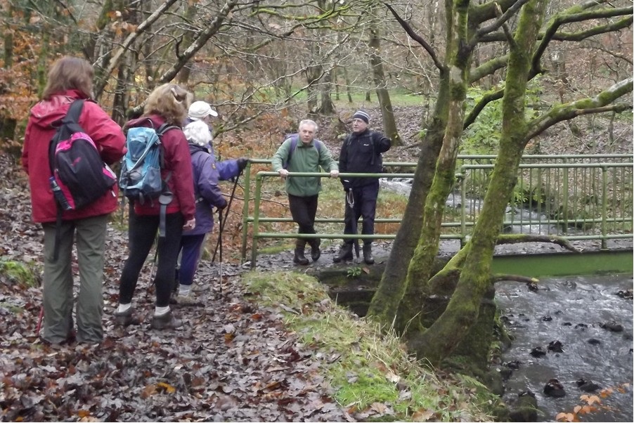
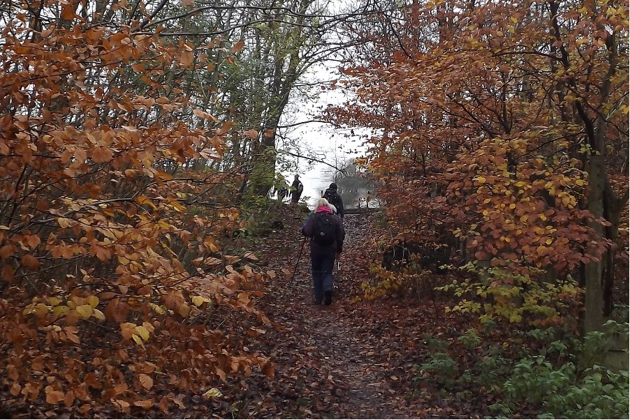
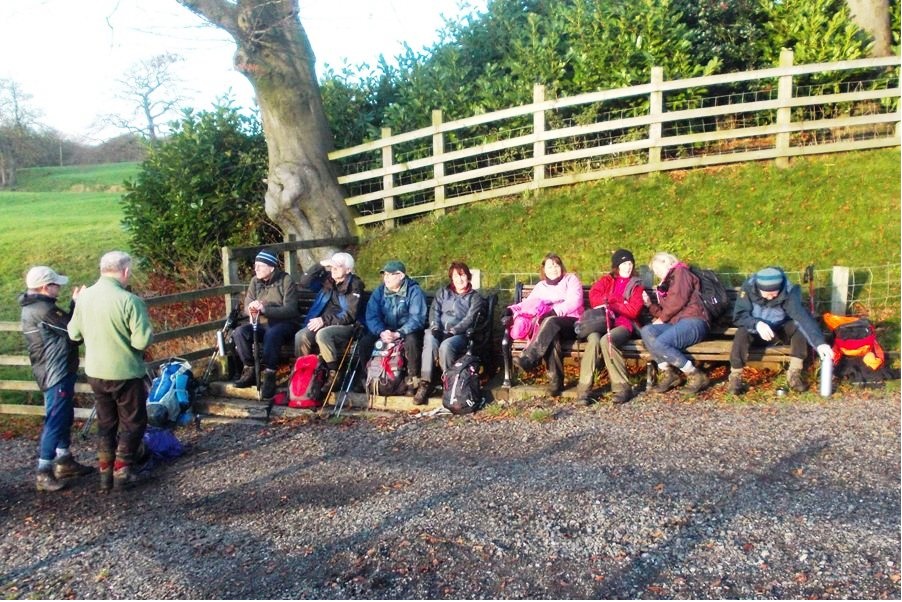
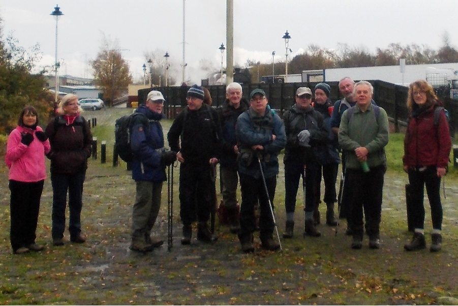
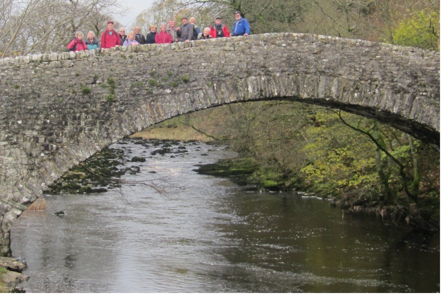
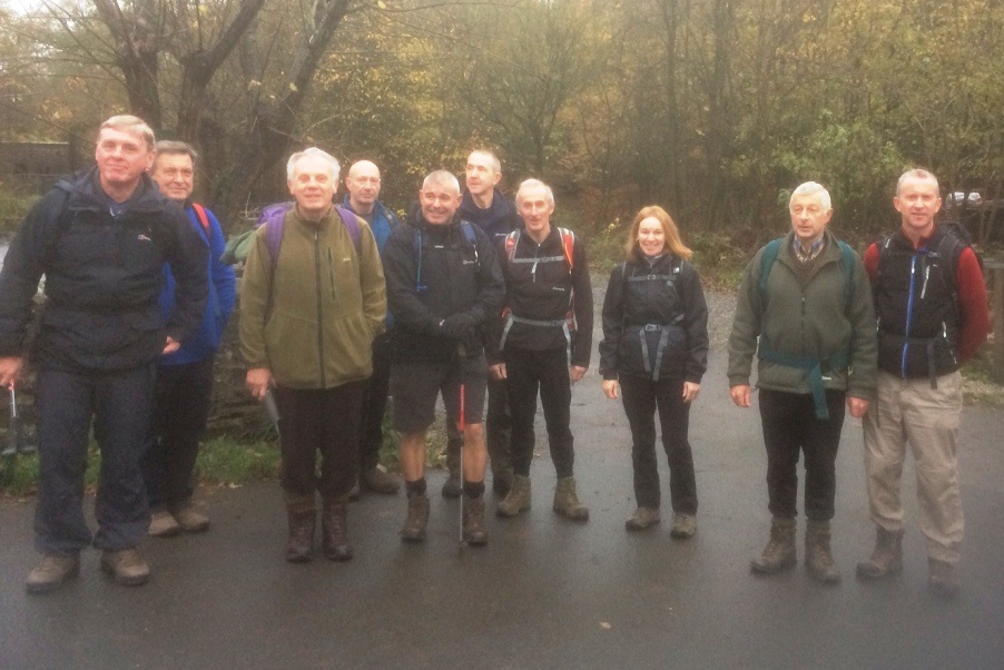
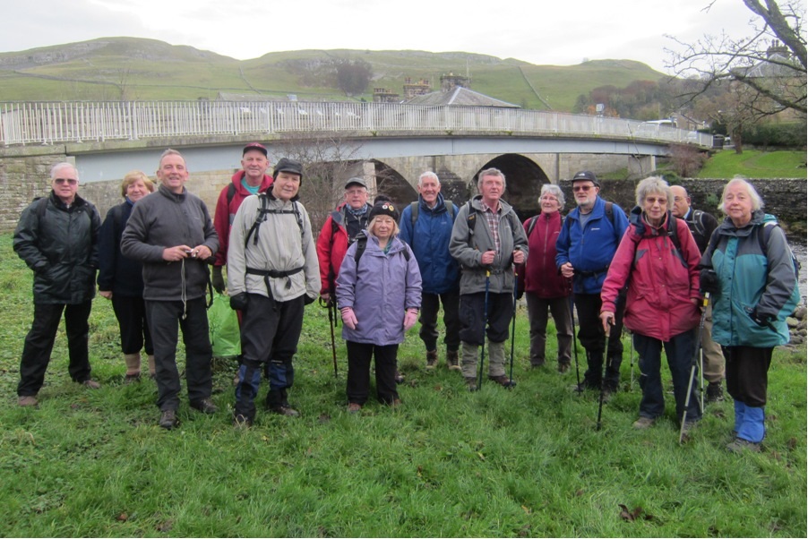
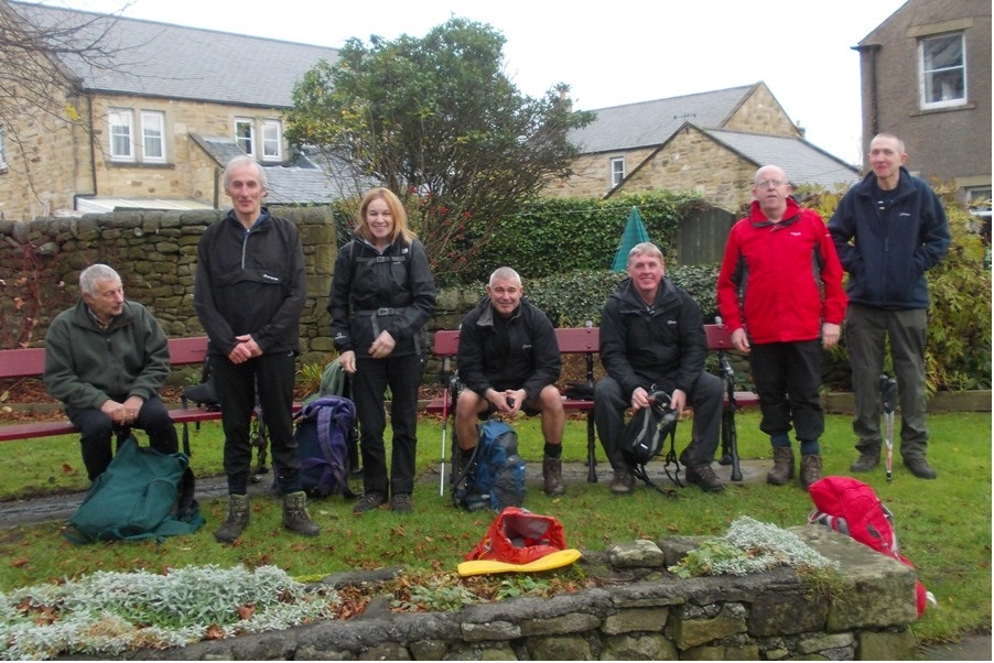

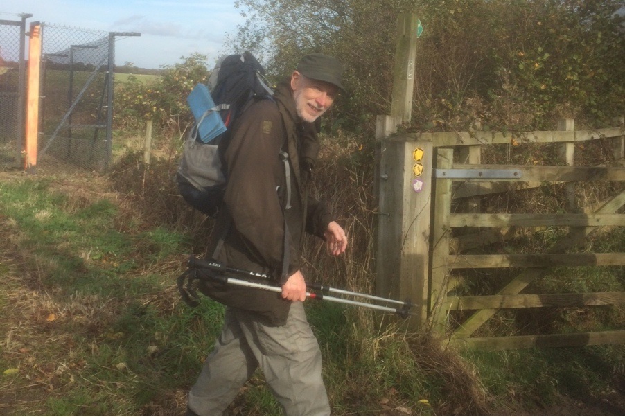
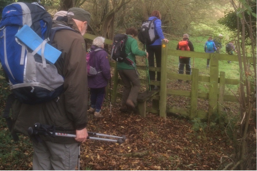
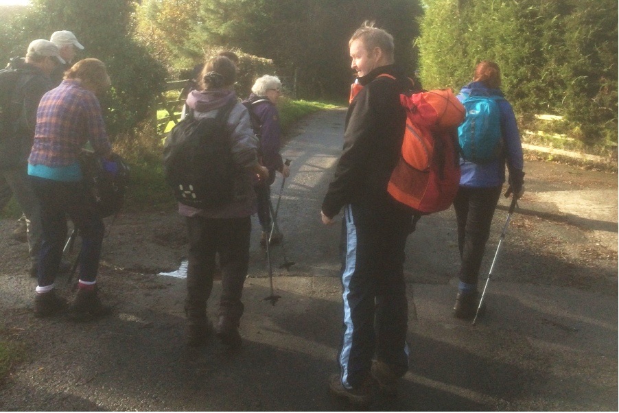
Sunday 30 November - Irwell Vale & Musbury (Mod-Stren: 12 miles)
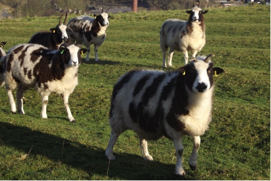
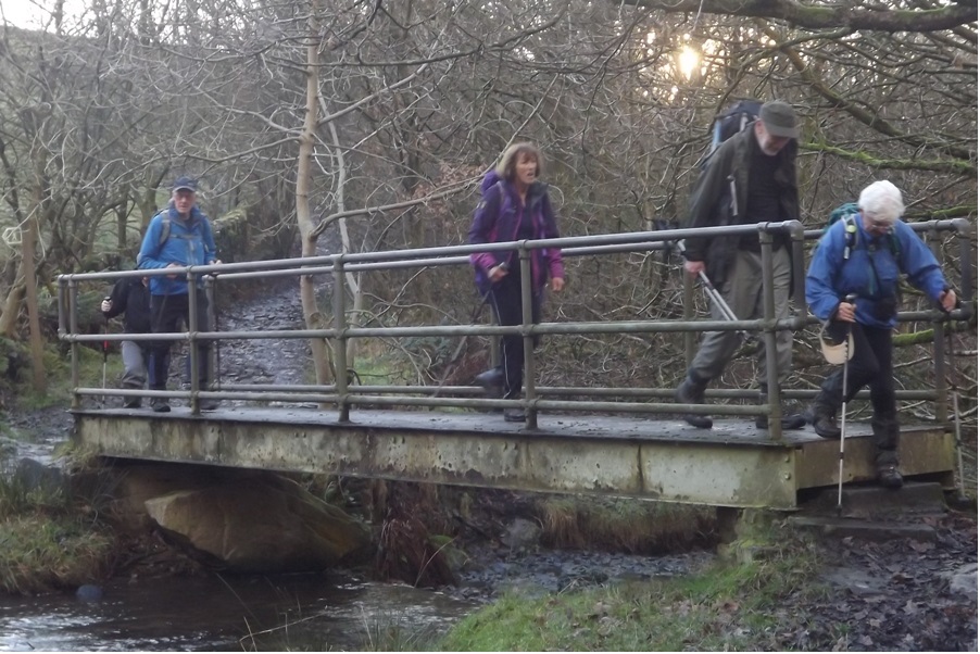
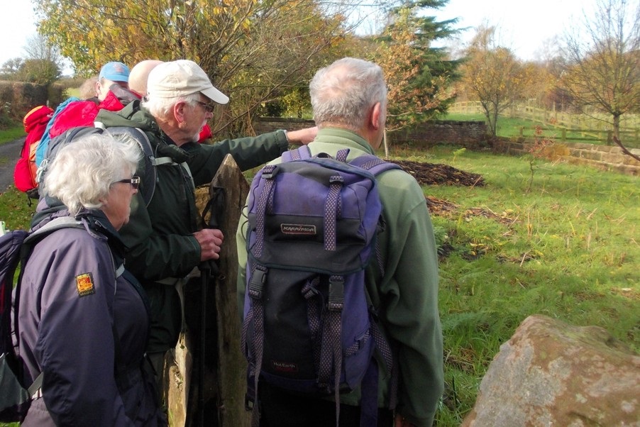
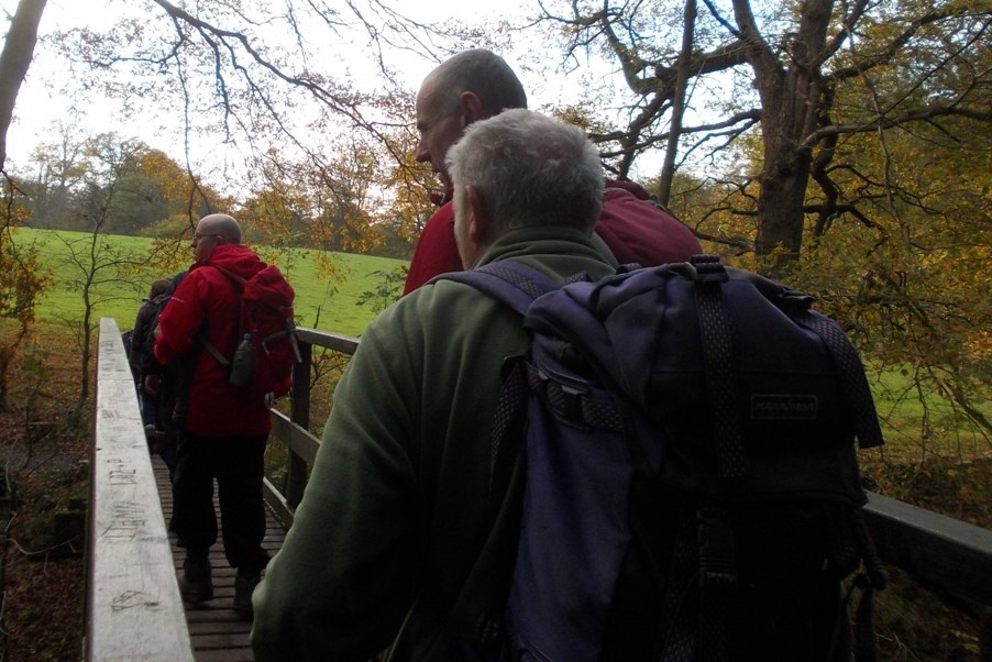
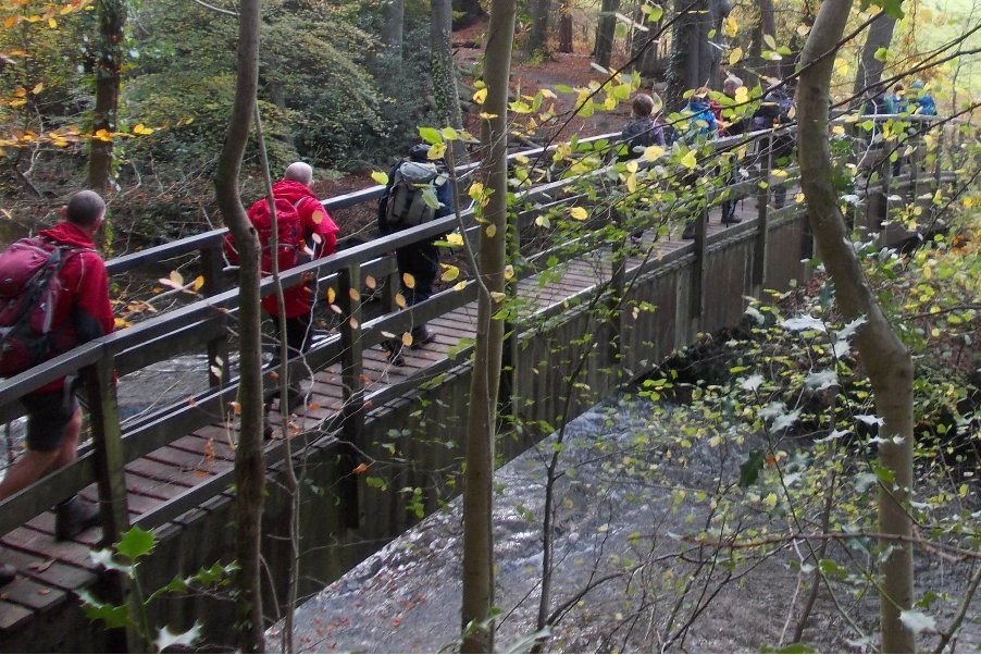
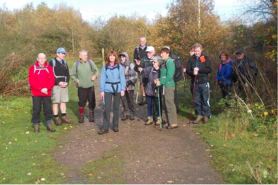
Jim Byrom led a group of 14 on this walk, on a fine sunny November day, but cold at first. From the Rostron Arms in Edenfield, the route was uphill to the north-west on Gin Croft Lane, circling around to drop down to Irwell Vale, climbing past Tor Hill to follow a stretch of the Rossendale Way, and then back down, again through Irwell Vale, following the former railway track to Strongstry, and then back along the newly-opened footpath along the Irwell to Stubbins. There was then an uphill stretch via Hollins Lane and Michael Wife Lane, circling to finally drop back down to Edenfield.
Sunday 23 November - Train Walk - Heywood to Bury
A group of 16 started on this train walk in good weather for November, sunny in the afternoon, but muddy underfoot after the recent rain. The group met at Bolton Street Station and, taking advantage of the concession fare available to all Ramblers members, took the 09:30 train to Heywood. They then walked back to Bury via Captain Fold, Queens Park (stopping for for a coffee break), Hooley Bridge, Naden Brook, Cheeseden Brook, Grindles Farm, Baldingstone, Walmersley, and finally the Irwell Sculpture Trail through Burrs to Bury. Some of the group then adjourned to the busy Trackside Bar, where there was live entertainment and real ales.
Sunday 16 November - Coach Trip - Ribble Way
Thanks to Peter for organising this coach trip, and to the walk leaders, Mike, Ed and Peter. An almost-full coach left Bury to drop off walkers on the two linear walks from Gisburn (13 miles) and Paythorne (11 miles) to Settle, both stopping for a long lunch break in Long Preston. The third group enjoyed a more leisurely circular walk from Settle taking in Stainforth. All three groups met in the Royal Oak in Settle, and for a meal at the Maypole in Long Preston. The weather was excellent for the time of year.
Sunday 9 November - Three Reservoirs & a Wood (Welcome Walk)
Dave Armstrong led a group of 17 (including some new walkers with Bury Ramblers, and some late arrivals) on this welcome walk. Starting from The Holden Arms, the route took the group around around the reservoirs of Haslingden Grane, taking in Holden Wood Reservoir, Ogden Reservoir, Calf Hey Reservoir, parts of the Rossendale Way, Clough Head Cafe, Jamestone Quarry, Mary’s Wood and Holden Hall. The weather was cold in the morning, but warm and sunny later.
Sunday 2 November - A Stylish Walk on the North Cheshire Way (Moderate: 11 miles)
Jim Ashton led a group of 15 on this walk in good weather. The walk started from The Carrs car park on the B5166 south of Styal. The first part of the walk was through typical Cheshire countryside and included Lindow Moss (where Lindow Man was found), a Quaker graveyard and an Alpaca farm. The North Cheshire Way was then joined from which there were close views of aircraft taking off from Manchester Airport. The walk then went through Styal Woods (displaying autumn tints) followed by an afternoon stop at Quarry Bank Mill. The Ship at Styal was visited for drinks after the walk.
Click for Closeup


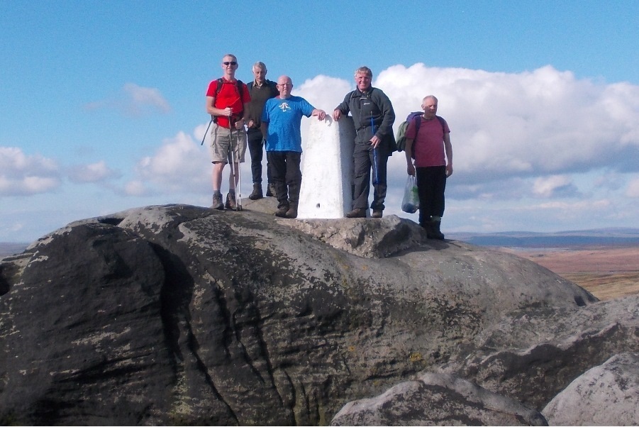
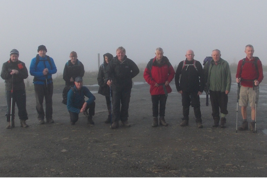
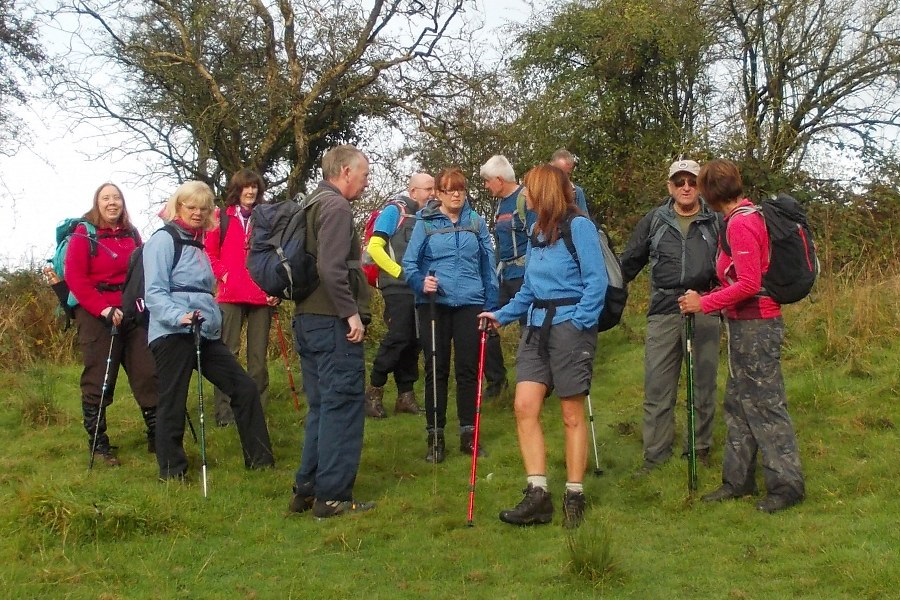
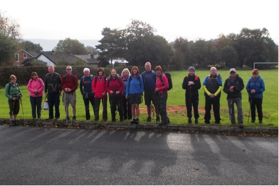
Sunday 26 October - Mellor (Moderate: 9-10 miles)
Barbara McCormack led a group of 16 on this walk, in good weather. The walk started from the Village Hall car park (opposite church) on Mellor Lane. It was an undulating walk which passed through Ramsgreave, Salesbury, Clayton-le-Dale, Copster Green and Osbaldeston.
Sunday 19 October - Settle Down for a Good Walk! (Strenuous: 16 miles)
Norman Thomas, with Chris Langabeer, led a group of 19, which included walkers from the Ramblers and the LDWA.
Starting from Settle, the route was initially to Giggleswick, and then Feizor, Stainforth, Catrigg Force, Victoria Cave, Upper Settle and finally back to Settle.
Sunday 12 October - Blackstone Edge (Moderate: 12 miles)
Ed Husband led a group of 11 on this walk, initially in cold, thick mist, but later, in bright, warm sunshine. Underfoot conditions were good.
The walk started from public car park, just below the White House PH on the A58. The route was initially downhill to Summit, and then along the Rochdale Canal to Hollingworth Lake. There was then an ascent under the M62 followed by a higher level, undulating walk along Tunshill Lane, looking down on the busy (and noisy) M62 to the left. This stretch finished at the Windy Hill Transmitter where there were powered paragliders. The route then turned north, joining the Pennine Way, which went over the M62 footbridge and all the way back to the start along Blackstone Edge. Most of the group then adjourned to the White House for an after-walk drink.
Sunday 5 October - Bradford Fell (Moderate: 12 miles)
John Talbot led a group of 16 on this walk, in fine weather, but with wet underfoot conditions because of the recent rain. The walk started from the car park in the village of Waddington. From Waddington, lanes and fields were taken to Bradford Bridge. From there, the River Ribble was followed to Grindleton. Tracks and field paths then led to West Bradford. After West Bradford there began a gradual ascent, which eventually reached Bradford Fell and the edge of Grindleton Forest. Finally, the walk returned to Waddington via the Three Rivers campsite, passing Eaves House. Most of the group finished up the afternoon sitting outside the Waddington Arms, the leader's group staying on for a meal.
Click for Closeup




Sunday 28 September - Halo Goodbye (Mod/Stren: 13 miles)
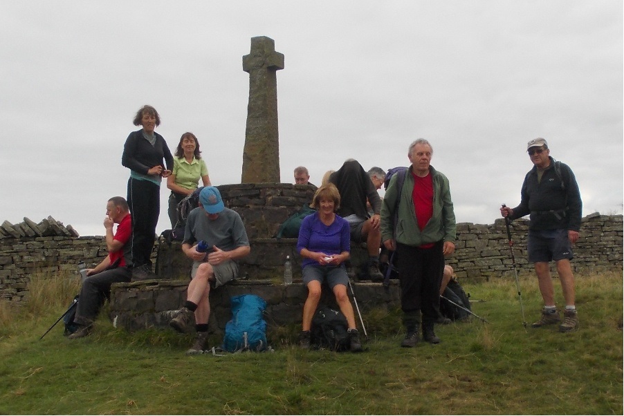
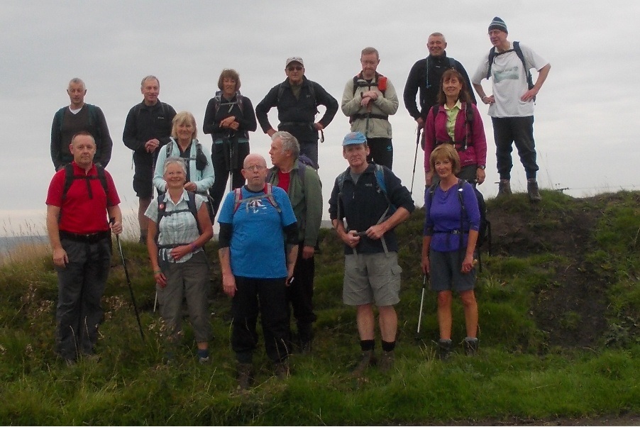
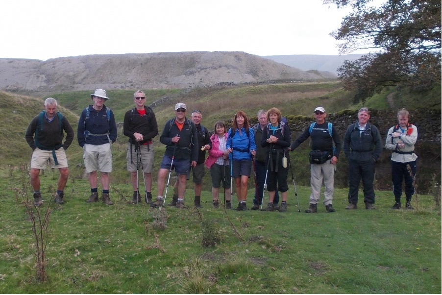
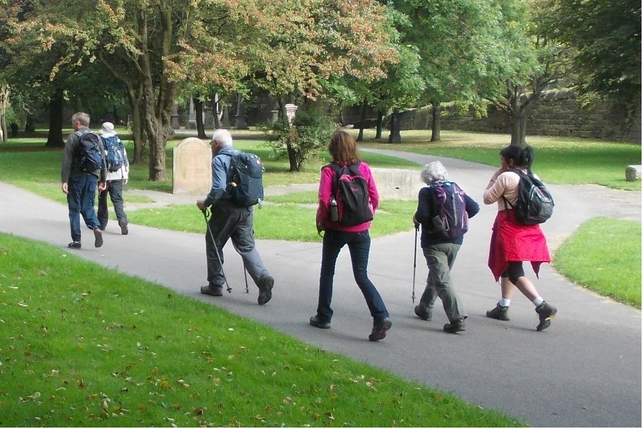
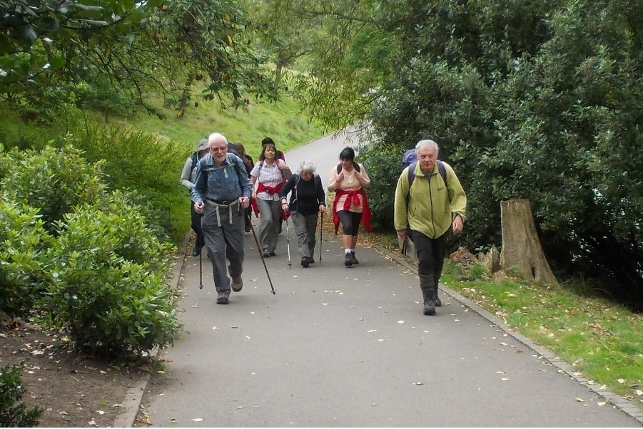
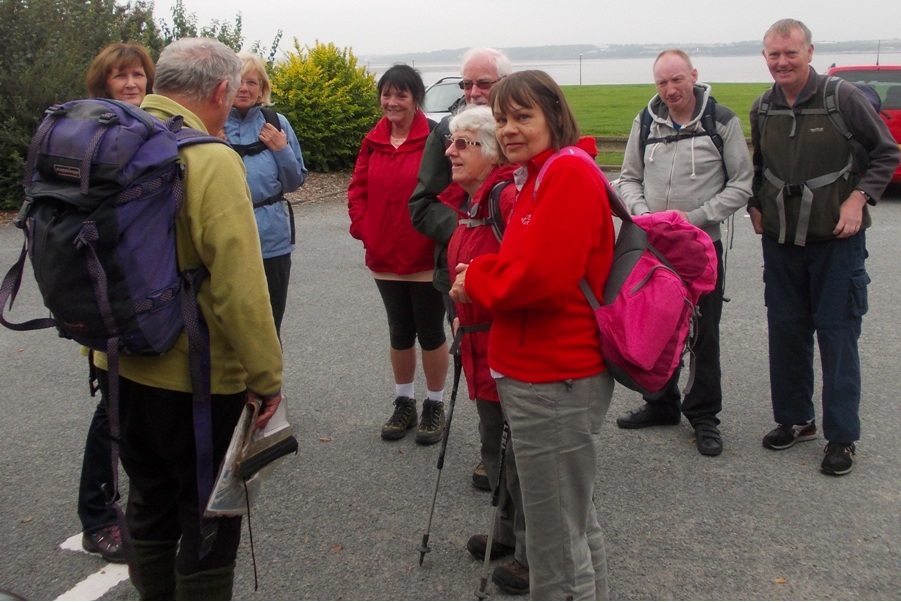
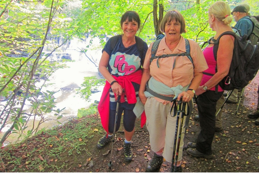
Barbara Shelton led a group of 16 on this walk, on a warm, dry day. From Clowbridge Reservoir Car Park the route was initially on The Burnley Way, ascending Hameldon Hill, and then south on the Rossendale Way to Stone Fold, continuing south to the Halo Panopticon for lunch. The route was then east and then north to Crawshawbooth, passing Goodshaw Chapel and then east on The Rossendale Way to Compstons Cross. Finally the route was north, circling Clowbridge Reservoir, and back to the start, followed by a drink in “The Glory.”
Sunday 21 September - Hetton, Rylstone & Linton (Moderate: 12 miles)
Ian Pickup led a group of 13 on this walk, in fine dry weather, with good underfoot conditions. The walk commenced in the village of Hetton and passed through Rylstone on the way NE to Cracoe. After crossing Eller Beck (via a ford) a bridleway was taken to Linton. The River Wharfe was then followed to Threshfield where Skirethorns Lane was joined, followed by some moorland walking, as the bridleway across Threshfield Moor and Boss Moor was followed to the west. Finally, Moor Lane led back south to Hetton, initially overlooking Winterburn Reservoir on the right.
Sunday 14 September - Ovenden Moor & Luddenden Dean (Mod/Stren: 12 miles)
Simon Holder led a group of 13 plus two collies on this walk, in fine weather, warm and overcast all day, and firm underfoot.
The walk started from Odgen Reservoir, a local beauty spot, and the group initially followed a concessionary footpath well above Odgen Clough. They then took the stone steps out of Odgen CLough and on to Ovenden Moor. After taking a brew on Nab Hill, one of the locals showed the party the Stanza Stone, where a poem is carved on a stone slab. After Ovenden Moor the walkers followed Catchwater Drain permissive footpath on to Migley Moor, leaving by means of a difficult descent, through a dense fern forest, to Luddenden Dean. After lunch at Jerusalem Farm picnic area, the route was uphill onto Warley Moor, and then following the Calderdale Way to Cold Edge. From there, it was an easy walk on a broad track back to Odgen Reservoir.
Some then went to Catchwater Inn where a piano player provided some entertainment.
Sunday 14 September - Lolloping & Lingering Around Liverpool! (Moderate: 11 miles)
John Clements led a group of 10 on this walk, crammed into two cars for the journey to Liverpool. The weather was warm and sunny. There was little ascent, apart from the cathedral steps.
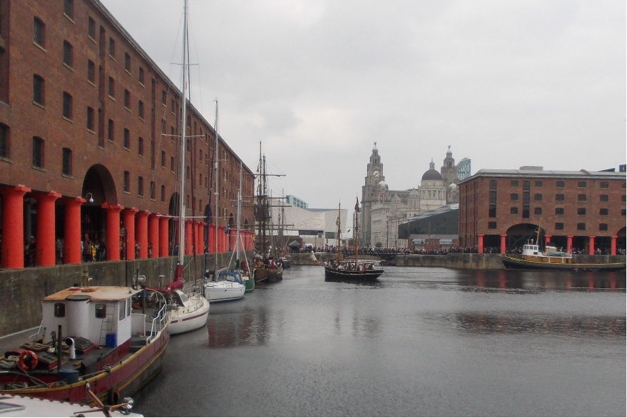
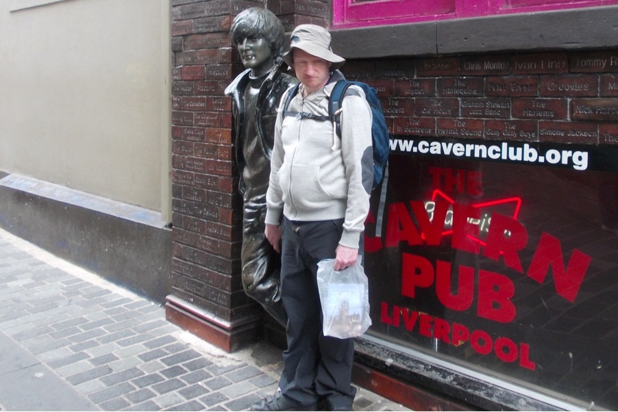
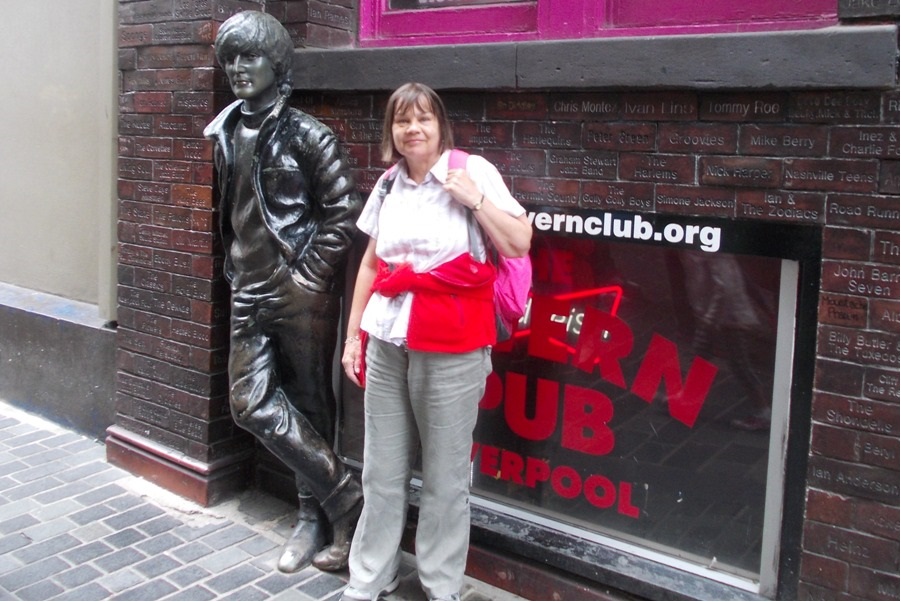
From Otterspool Promenade, the group walked north into Sefton Park to the Palm House, but were not able to go in because of a Fashion Shoot, no doubt to eliminate the possibility that the models might be alarmed by the sight of a group of walkers. The route continued NW through Princes Park to the Anglican Cathedral, past the Chinese Arch on Nelson Street, taking in the ruins of St Luke's Church, bombed in 1941, and on to the Philharmonic Public House for a drink in the Brahms Room (although some defected to the Liszt Room). The route continued to the Roman Catholic Cathedral, both it and the Anglican Cathedral appropriately located on Hope Street. From there, there was a gentle walk down Mount Pleasant and along Church Street, where there was a high zip wire and also a jazz band, and then on to Mathew Street, where the Cavern Club used to be. The group continued to the Pier Head, past the Liver Building and through Albert Dock, where a gun battle appeared to be taking place on a sailing ship. Finally, the route was along the riverside and back to the start.
Sunday 7 September - Riley Green (Moderate: 9 miles)
Margaret Jones led a group of 14 on this walk, which was sunny all day. The walk started from the Royal Oak PH, Riley Green, and consisted of a tour of the surrounding area, including Hoghton Tower.
Click for Closeup





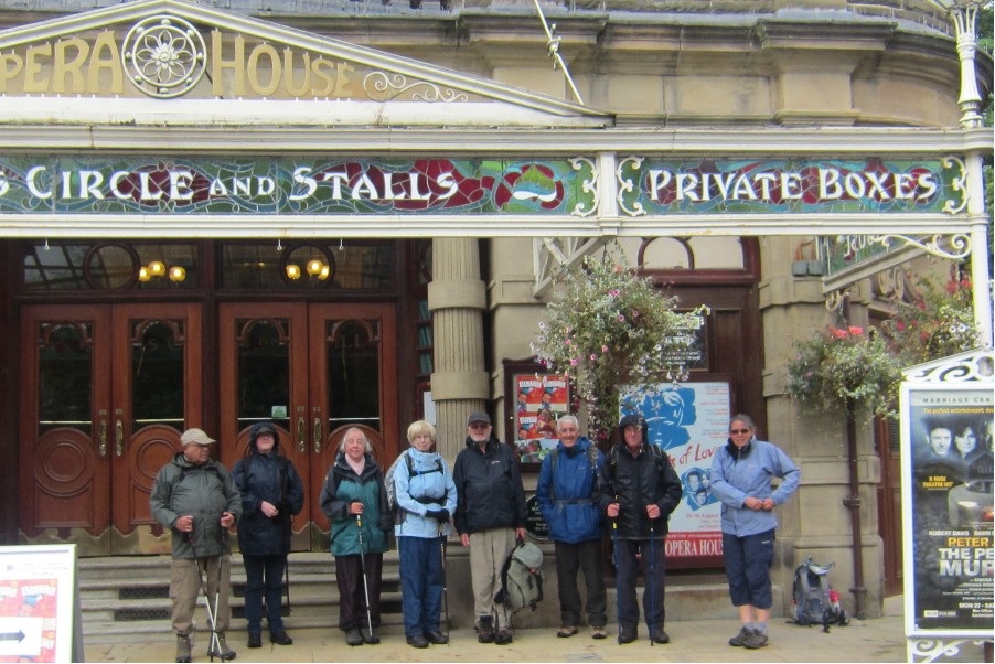
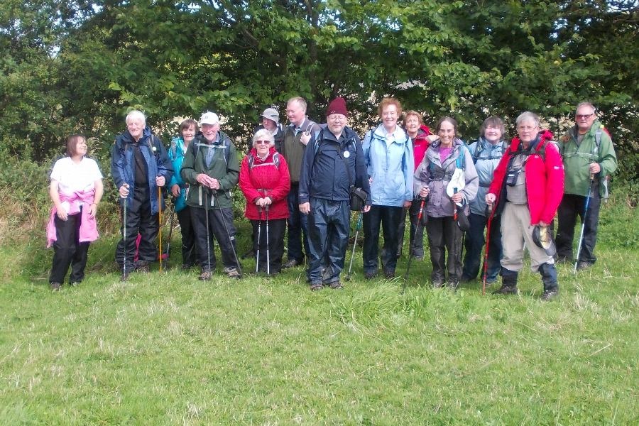


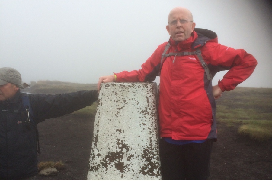
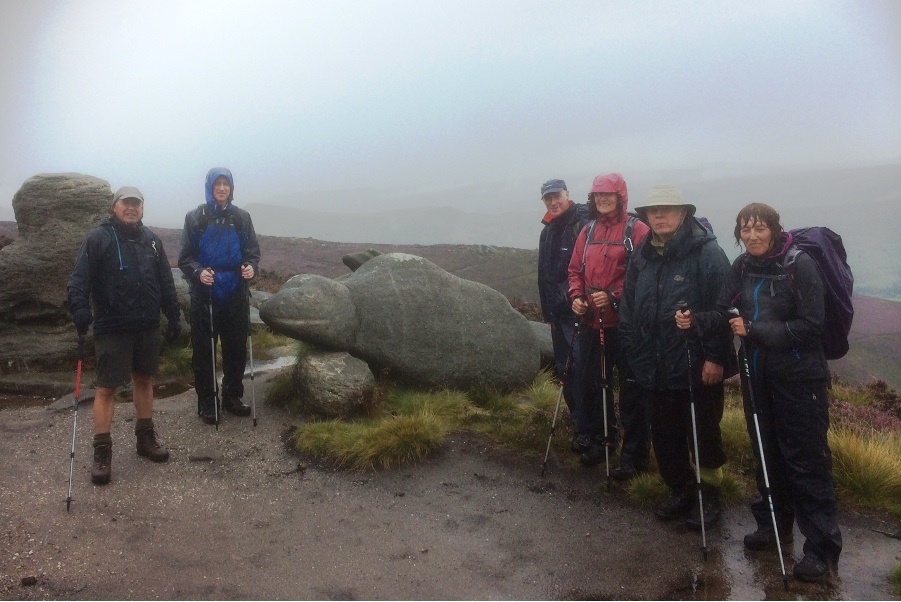

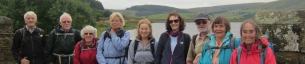
Sunday 31 August - Todmorden to Stoodley Pike (Mod/Stren: 12 miles)
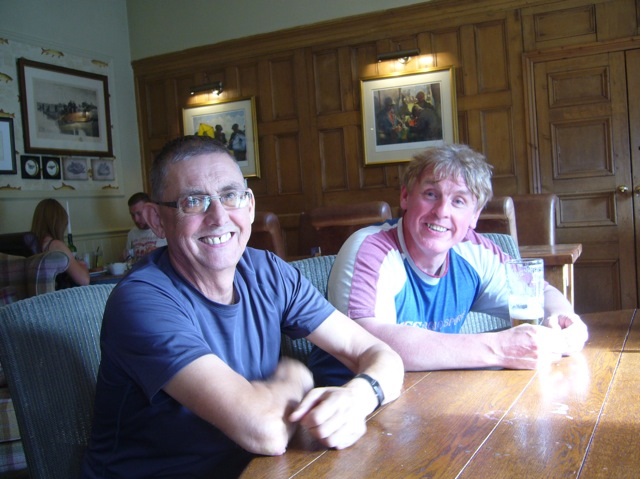
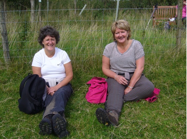
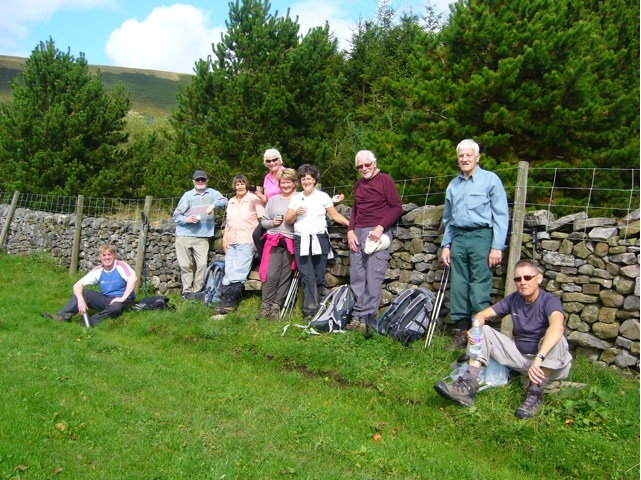
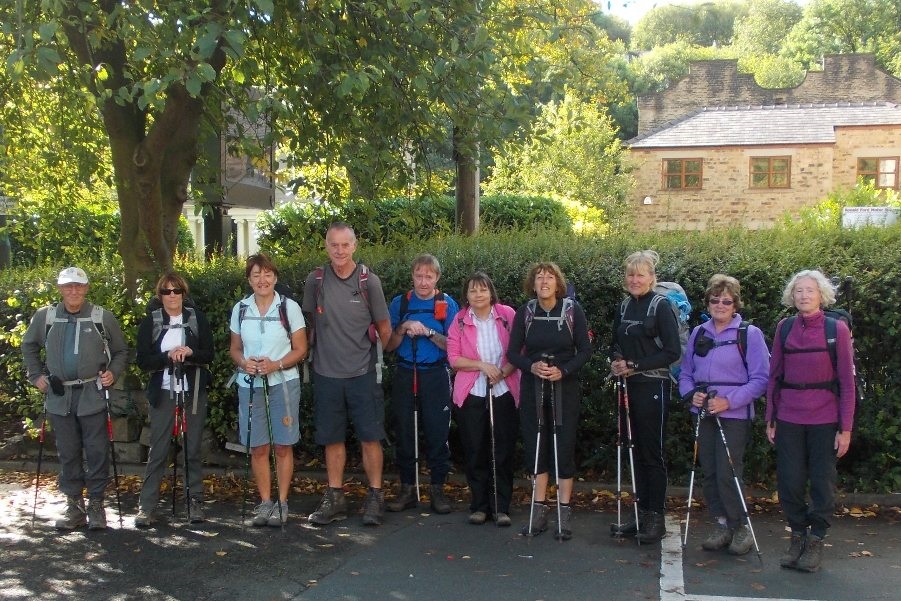
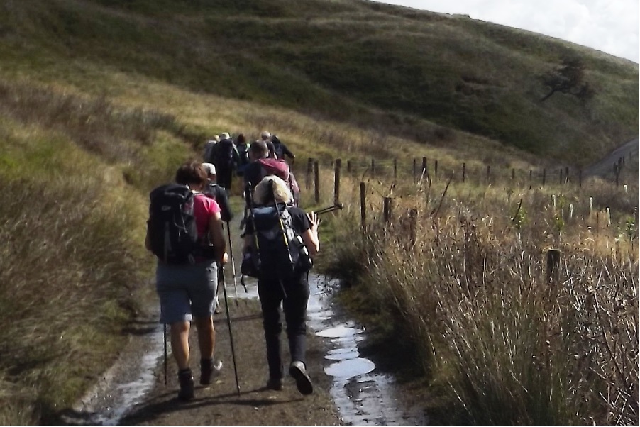
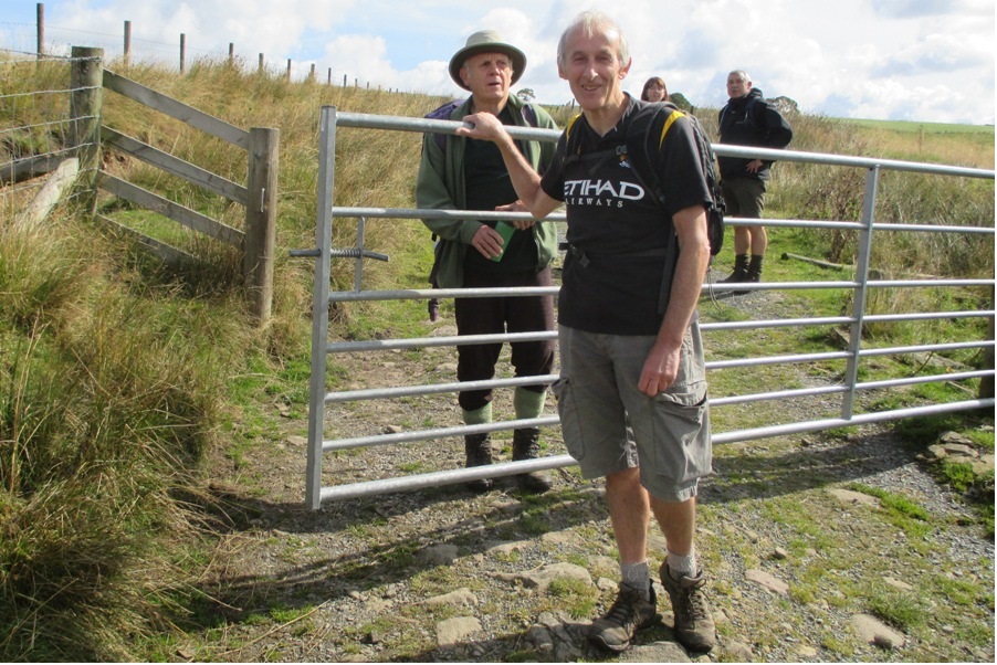
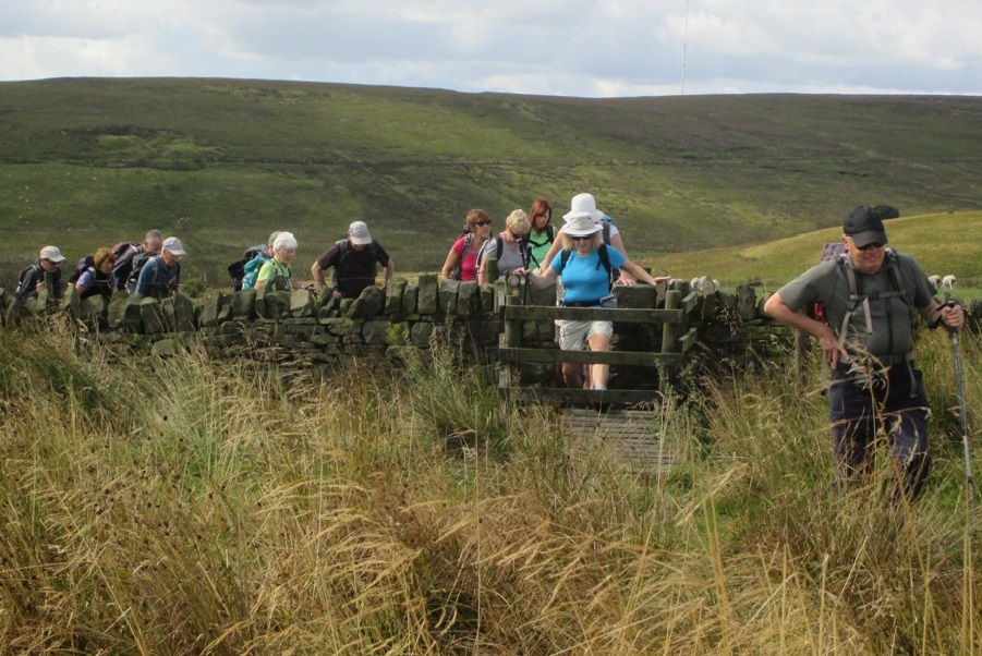
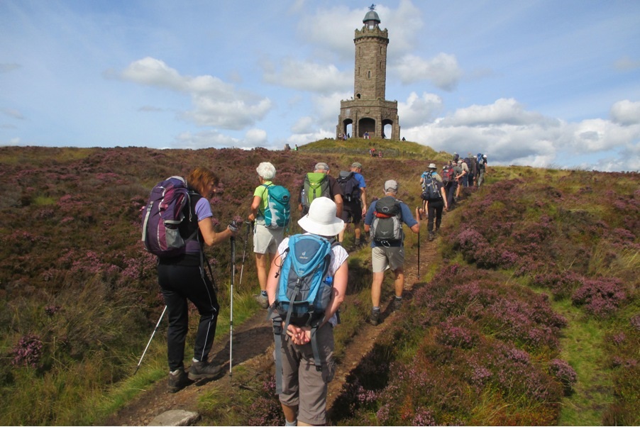
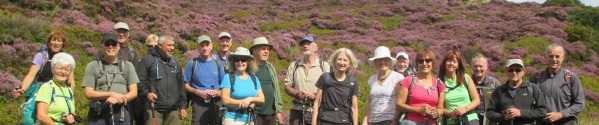
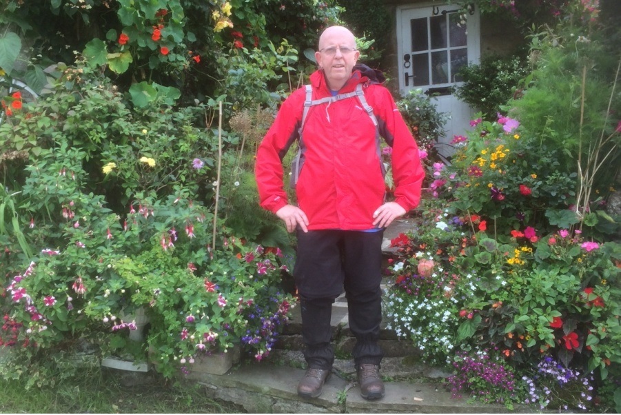
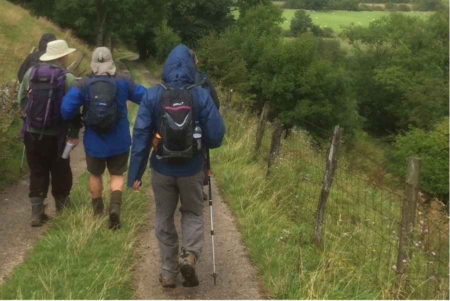
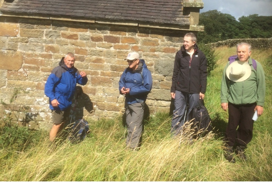
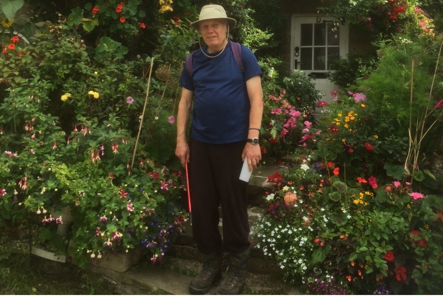
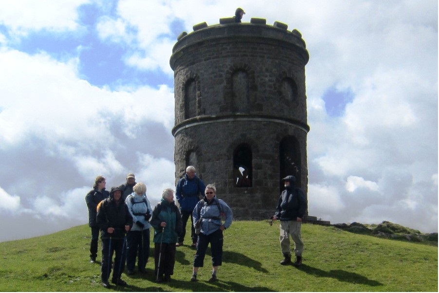
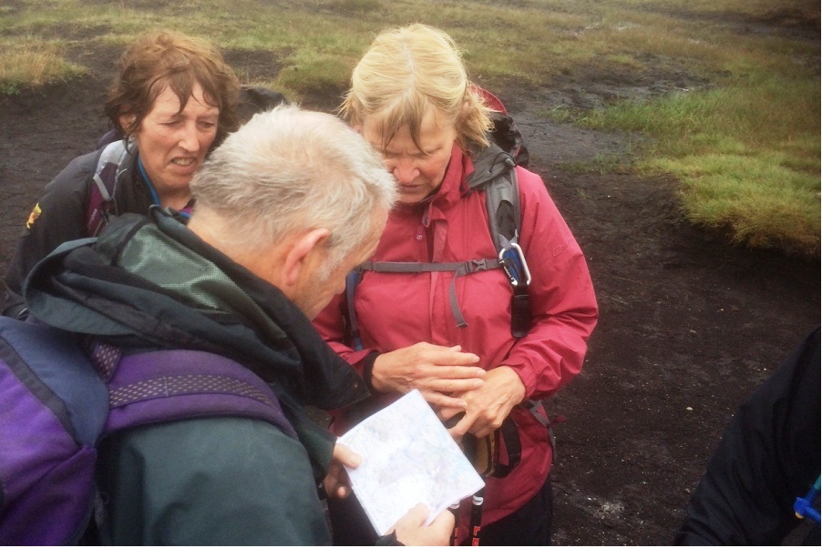
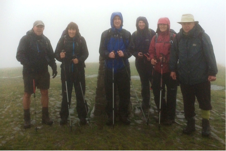
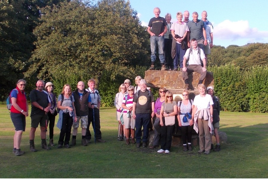
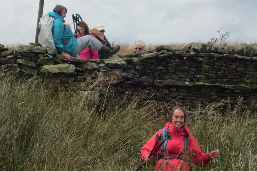
Jean Royle led a group of 11 on this walk, including two walkers new to Bury Ramblers. The weather was sunny, warm and dry, and underfoot conditions were generally good. The walk started at the Myrtle Street car park in Todmorden. It was a contrasting walk of woodland and moorland with stretches on the Todmorden Centenary Way, the Calderdale Way and the Pennine Way. Starting north and inevitably climbing onto higher ground, the route turned east towards Hebden Bridge, then south across the main road and west through the woods followed by a climb up to Stoodley Pike. The direction was then south on the Pennine Way, and finally down to the Rochdale Canal for the return to Todmorden.
Sunday 31 August - Below Beatrix Fell (Moderate: 9 miles)
Ken and Jen Hayes led this walk.
A small group of eleven turned up, including three new walkers. Angela and Maxine from Middleton joined us after successfully navigating their own way to Dunsop Bridge. Paul from Radcliffe, met us at the Interchange and kindly provided a lift for Steve and Brian. His satnav diverted them through the middle of Whalley, supposedly the fastest route, but they arrived after we did, so I have my doubts.
The weather was kind, a mild breeze, but generally warm and sunny, and the going underfoot was generally firm and dry with a few soggy patches. Derek turned back after a couple of miles, but the rest of us contoured the fields below Beatrix and Burn Fell, passing Beatrix Farm and Burn House before heading east and then south over Pain Hill. Lunch was taken just before Newton and the return route followed the Hodder Valley through the grounds of Knowlmere Manor to return to Dunsop Bridge.
Sunday 24 August - Roddlesworth & Darwen (Moderate: 12 miles)
Kepa and Chris led a group of 21 on this walk, and in contrast to their walk two weeks earlier, the weather this time was warm and sunny, and most importantly, dry. Starting from Crookfield Road Car Park at SD665191, the initial route was uphill onto the Witton Weaver's Way eastward, and then round to the north and west above Duckshaw Farm, continuing north to Darwen Tower. The direction was then east, descending to Sunnyhurst, and then on past Tockholes to Abbey Village, and then returning via Roddlesworth Reservoirs and Hollinshead Hall back to the start.
Sunday 17 August - Coach Trip - South Derbyshire
Thanks to Peter for organising this coach trip, and to the walk leaders, Ian, Ed and Brian. The coach dropped off Brian's group of 9 at Buxton for a 7 mile circular walk, and then the coach continued to Hartington. From there, Ed led a group of 15 on an 11 mile circular walk, and Ian led a group of 9 on a 13 mile circular walk, the two groups coming together at the end for the last 3 miles. The weather was generally good, but with some short showers. All three groups than enjoyed a meal at the Wye Bridge House Wetherspoons in Buxton.
Wednesday 13 August - Philips Park
In the last of the summer walks, John Talbot led a group of 17 on a fine evening. The route took the group past Whitefield Golf Club, over the M60 and through Philips Park, passing the Hall, and then walking along the Irwell Sculpture Trail. The walk continued through Drinkwater Park and Prestwich Forest Park, returning to Philips Park and back to the start.
Sunday 10 August - Ringing Roger (Mod/Stren: 12 miles)
This walk was led by Chris and Kepa. We have no walk report so far, only the pictures, indicating that a group of 7 turned up for the walk, and that it was affected by the aftermath of Hurricane Bertha. The intended route was from Mam Tor car park, descending to Edale, before climbing onto the Kinder plateau at Ringing Roger. The southern Kinder Edge was then to be followed as far as Edale Head. From there the walk crossed to Rushup Edge, via Brown Knoll, and proceeded to Lord’s Seat and finally back to the car park.
Sunday 10 August - Riley Green to Hoghton Tower (Moderate: 9 miles)
Margaret Jones was due to lead this walk, but it was abandoned because of the atrocious weather conditions caused by Hurricane Bertha.
Wednesday 6 August - Wild Garlic Valley
Ed Husband led a group of 24 on this walk on a fine evening. From Ramsbottom Station, the route was initially through Nuttall Park and then along the Irwell towards Summerseat, and then turning west through Broad Hey Wood to Holcombe Brook. There was then a gradual climb up Lumb Carr Road and left up to Hey House, emerging onto Moorbottom Road. From there the walk continued downhill to the Shoulder of Mutton, and down the footpath to Dundee Lane and finally back to the start. For refreshments, the group split between Irwell Works Brewery and the Railway Hotel.
Sunday 3 August July - Hellifield (Strenuous: 17/18 miles)
Mike Case led a group of 6 on this walk. The weather was overcast with occasional light showers. The walk started from Hellifield and took mainly tracks and bridleways as it headed towards the outskirts of Settle. Just south of Settle it crossed the River Ribble and took the Ribble Way in a southerly direction to pass Rathmell and Wigglesworth. On reaching the road near Halton West the walk left the Ribble Way and took Limekiln Lane (a bridleway) to Swinden from where paths were followed north back to Hellifield.
Sunday 3 August - Twiston Moor (Moderate: 8 miles)
Bill Hayden led a group of 12 on this walk, on which there were a few showers. The walk was somewhat harder than expected due to long grass hiding paths, and total ascent was probably between 1000 and 1200 feet. The walk started at Barley Information Centre and initially climbed past the Black Moss reservoirs. It crossed Twiston Moor towards Clough Head Farm and then returned across Rimington Moor heading back to White Hough and Barley.
Click for Closeup


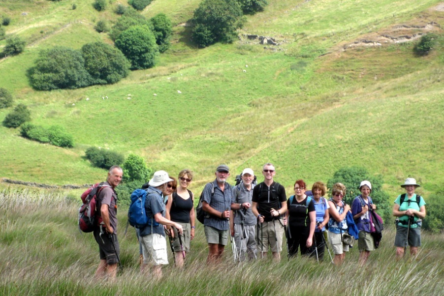
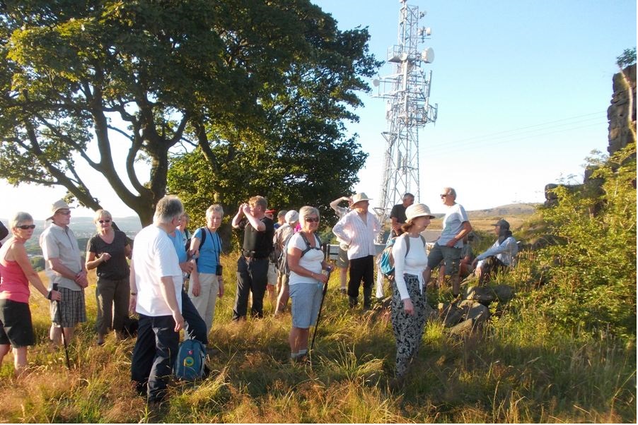


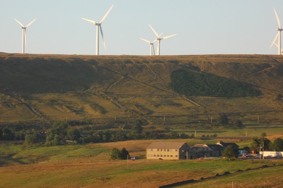

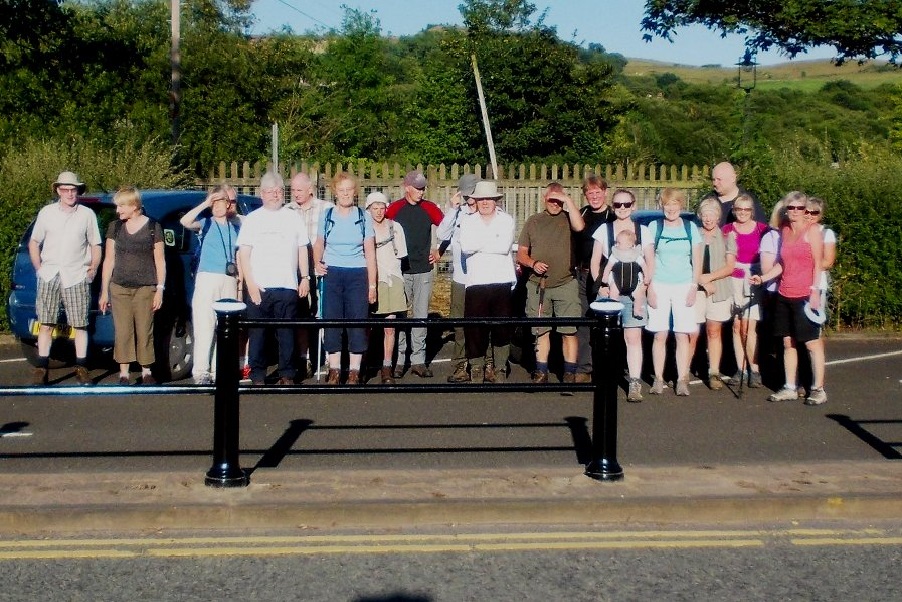



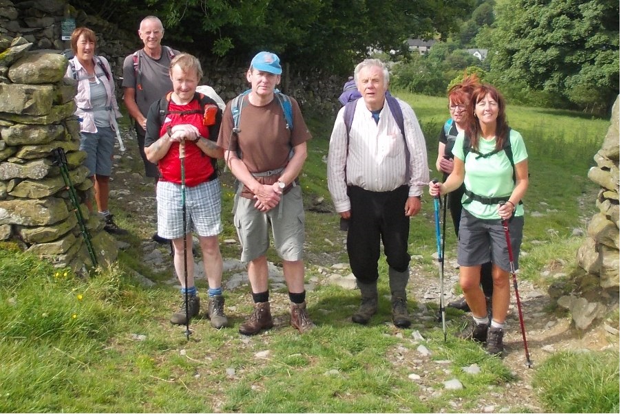
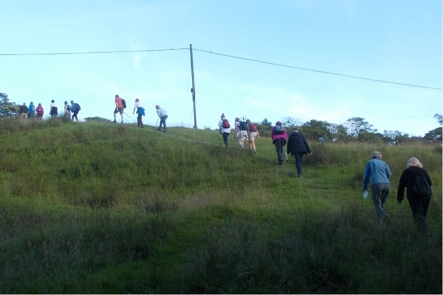

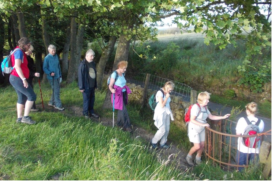
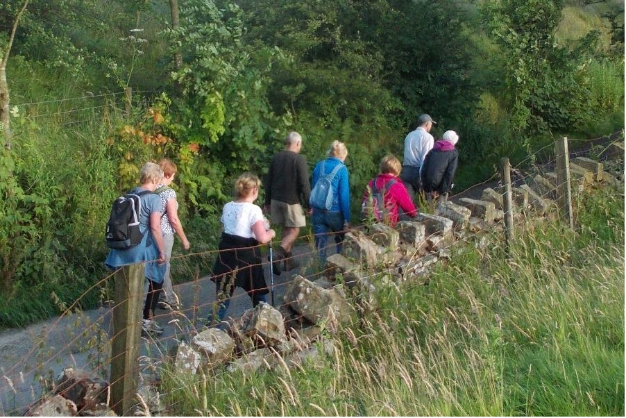

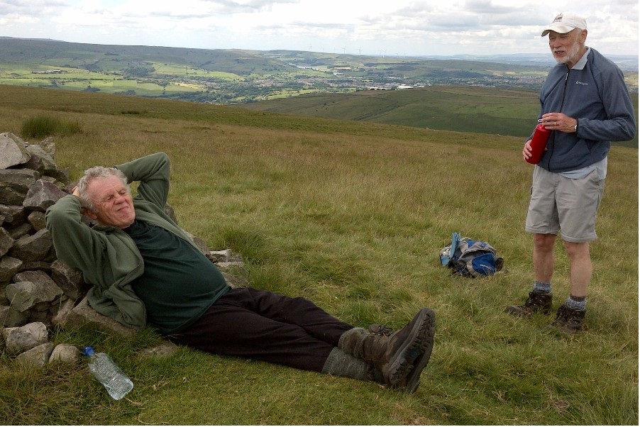
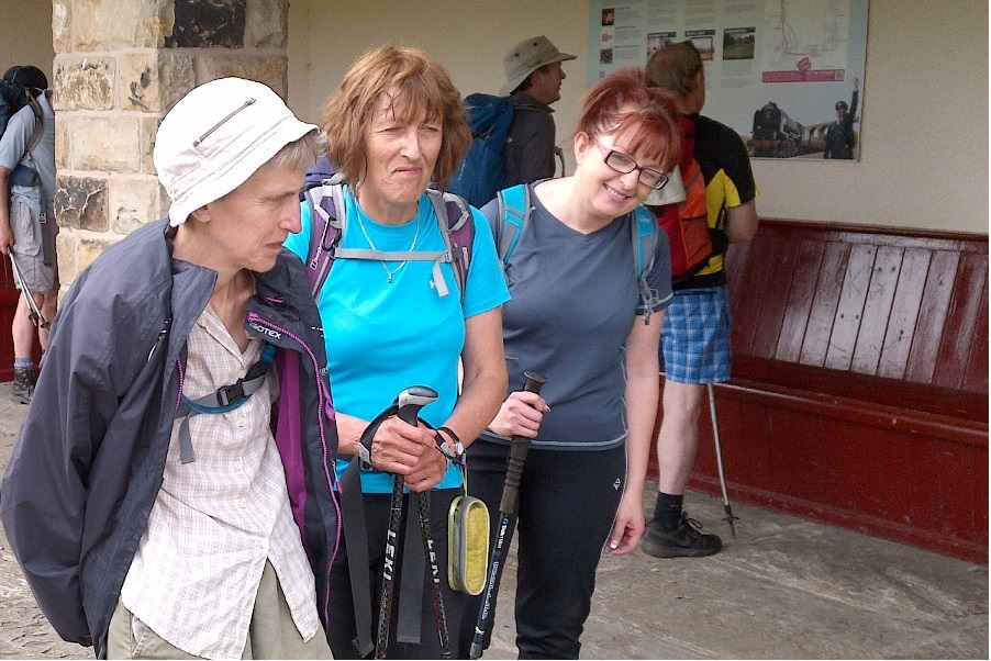
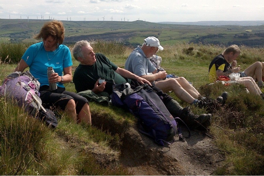

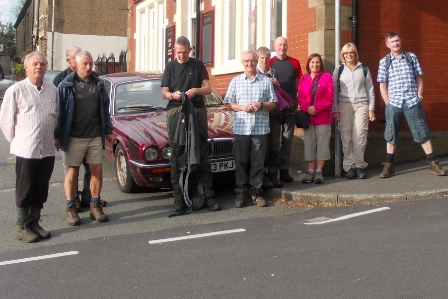
Wednesday 30 July - Ashworth Valley
John Talbot led this walk. The walk description was as follows. The walk starts from the Pack Horse Birtle, (GR SD835125). We first head eastwards across fields to descend into Ashworth Valley then climb the other side emerging onto Ashworth Road. We then cross fields passing St James' Church before returning to the Pack Horse by lanes and paths.
Sunday 27 July - Hartley Royd From Todmorden (Mod/Stren: 12 miles)
Ken and Pauline Ware led a group of 16 on this walk in fine, summer weather. The risk of a heavy shower in the forecast did not materialise. The walk started from Myrtle Street car park in Todmorden and headed to Stones, before descending to the Bacup road and then climbing to Gorpley Clough. From there it continued to Tower Causeway and Lydgate, and then on to Hartley Royd and the Bridestones. Finally it descended into Todmorden via Cross Stone.
Sunday 27 July - Deeply Vale (Welcome Walk: 6 miles)
Our "Welcome Walk" on the last Sunday of July was led by Jean Ashton, and started from Clarence Lido, taking in the varied scenery of Deeply Vale, Old Birtle, Harwood Fields and Chesham Woods. There were two recent additions to the group of fourteen on the walk. On a clear, sunny day the views from the top of Scotland Lane included Holcombe Hill, Scout Moor and the Pennines, from Blackstone Edge south to the Cheshire and Derbyshire hills, with the steep sided valley of Cheesden Brook occupying the foreground.
Wednesday 23 July - It’s My Turn Next
Roy Davies led a group of 25 on this walk on a brilliant, warm and sunny, summer evening. One of the 25 was aged 5 months, carried by his mother in a papoose, becoming our youngest walk participant for some time, possibly ever. From Ramsbottom the route was through Nuttall Park, climbing up Jacob's Ladder, crossing the M66 via the footbridge, and continuing uphill to the ruins of Grant's Tower. The route continued north above Fletcher Bank Quarry followed by a stony descent, and a short uphill stretch to take the road towards Bleakholt. Turning left on the Rossendale Way, the route was then downhill, crossing the A56, and then downhill over the M66 to join the path south along the Irwell back to Ramsbottom. Some of the group finished off the evening in the Railway Hotel.
Sunday 20 July - A Cheshire Round (Strenuous: 18 miles)
Ian Gorner led a group of 4 on this this walk, in dry, hot, sunny weather. The walk started from Frodsham railway station, joining the Weaver Navigation Canal. It eventually reached Delamere Forest, passing the Visitor Centre. From there, it continued onto the Sandstone Trail, and finally back to Frodsham by way of Simmonds Hill and Beacon Hill, with superb views. The group slaked their thirst in the Bear's Paw in Frodsham, two having the roast dinner.
(Ian has complained that I put mileage at 15 when it was in fact 18 in roasting weather! Apologies to the intrepid 4 - error now corrected.)
Sunday 20 July - Holcombe Moor & Pilgrims’ Cross (Welcome Walk: 6 miles)
Mike Minett led a group of seven on this walk in fine weather. Two were new to Bury Ramblers and we hope that they will return for further walks with the group.
Wednesday 16 July - Prestwich Forest Park
Jim Ashton led a group of 12 on this walk. Starting from Prestwich Metrolink Station, the route took the group along Clifton Road, along Philips Park Road, through Carters Hill Farm, along the Outwood Trail and Irwell Sculpture Trail, and through Prestwich Clough. Finally, most of the group decided to round off the evening inside the Church Inn.
Sunday 13 July - Longsleddale (Mode/Stren: 14 miles)
Allan Pilling led a group of 8 on this walk on a warm dry summer's day, with good underfoot conditions. The walk started at Barley Bridge near Staveley and started with a steep climb up to Potter Tarn and Gurnal Dubs, followed by a descent into the Longsleddale valley and a walk along the River Sprint. There were great mountain views throughout the walk. The return was via Cocklaw Fell and Over Staveley.
Wednesday 9 July - Alden Farm & a View of Musbury
25 ramblers plus two dogs assembled to start this walk, led by Dave Armstrong, in the latest of his series of Musbury walks. The weather was perfect, and underfoot it was dry. Starting from Musbury Fabrics, the walk went through a number of farms, taking in a section of the Rossendale Way, and used a path which encircled Musbury Heights. A number of the group finished off the evening in the Robin Hood, watching the semi-final of the World Cup.
Sunday 6 July - Not Quite Round Ramsbottom (Strenuous: 15 miles)
Roy Davies led a group of 9 on this walk on a warm dry summer's day. Starting from Ramsbottom Station, the route was through Nuttall Park to Holcombe Brook, through Redisher Woods to Peel Monument and Pilgrim's Cross, Ellen Strange's Grave, Robin Hood's Well, and Irwell Vale for lunch. There followed a gradual uphill stretch to Whittle Pike, and then a descent using the Rossendale Way back via Turn and Bleakholt to Ramsbottom. Sunday 6 July - Hoddlesden Moss (Moderate: 10 miles)
Barbara McCormack led this walk. It is hoped that more detail of the walk and photographs will follow later.
Wednesday 2 July - Crawling Around Crawshawbooth
John Clements led a group of 11 on a fine summer evening with reasonable underfoot conditions. The walk started from The Black Dog in Crawshawbooth and led uphill to Bottomley Bank and east, past what is marked as an Air Strip on the map, to Bank Top. Some of the stiles in this area were in a poor state of repair. The route continued to Higher Walls and Wheat Head, with great views of Rawtenstall below. Circling to the right round The Height the final direction was north-west on paths back to Crawshawbooth.
Click for Closeup


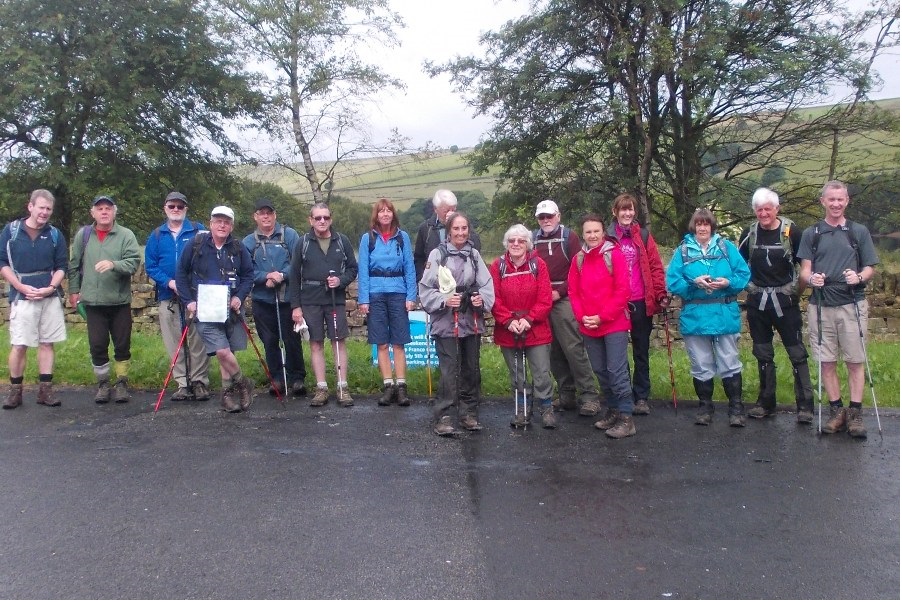
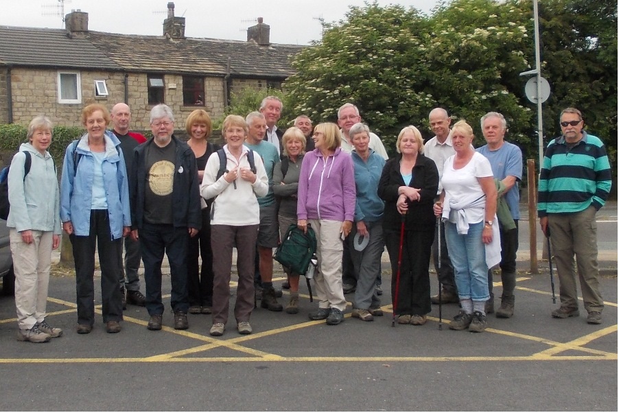
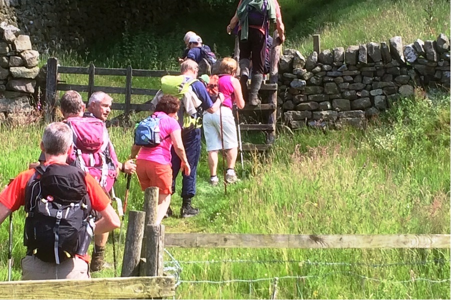
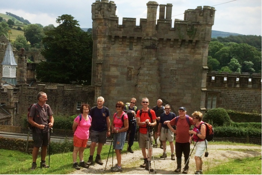

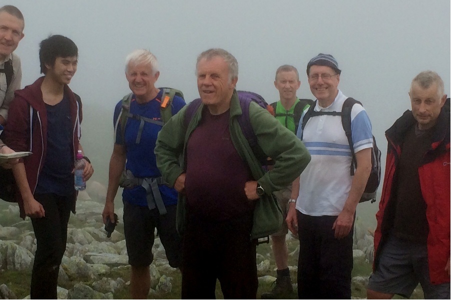
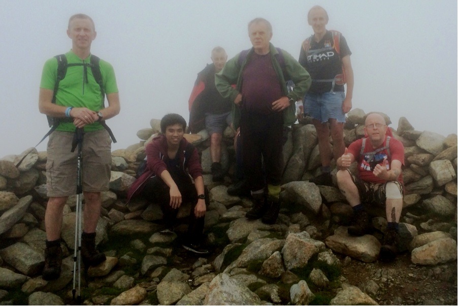


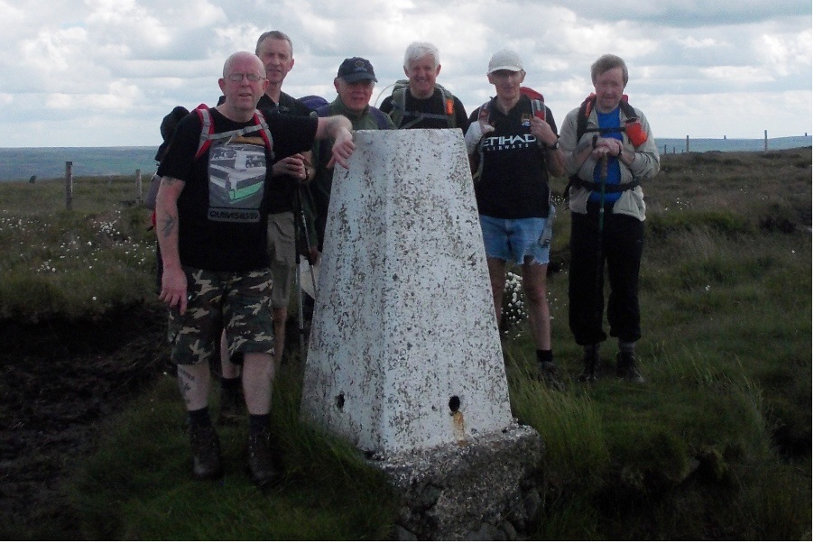
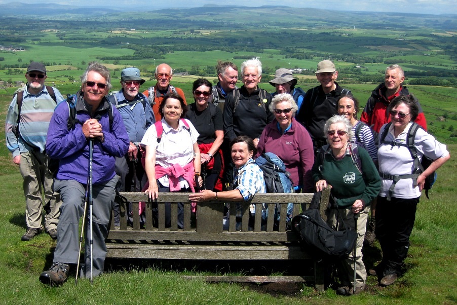
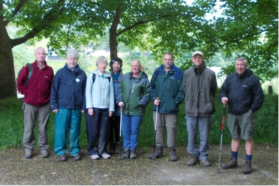
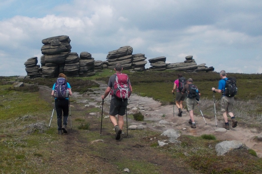

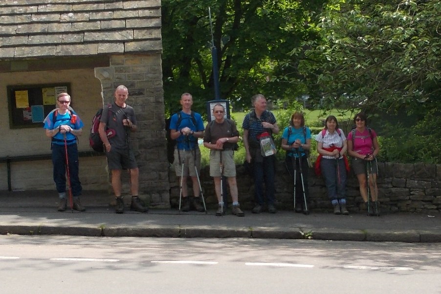
Sunday 29 June - Upper Holme Valley & Ramsden Clough (Mod/Stren: 10 miles)
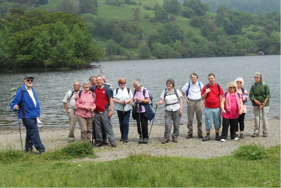
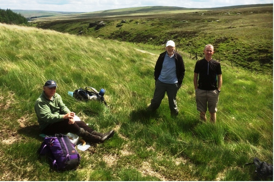
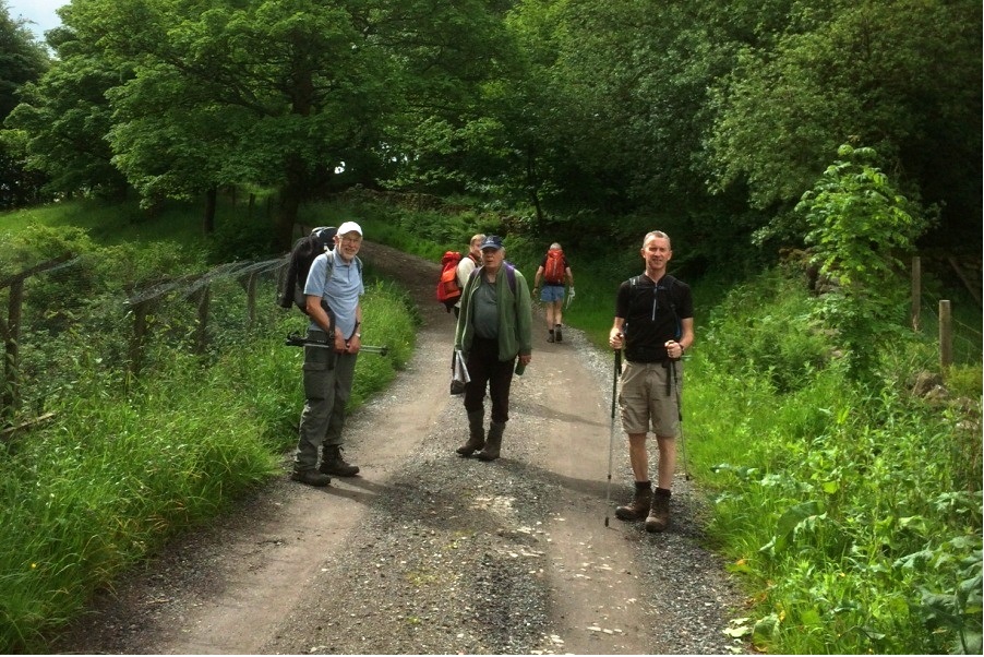
Dave Capell led a group of 17 on this walk on a fine summer's day. Underfoot conditions were mainly good. The walk started at Digley Reservoir car park, initially heading to Holme village. It then continued via Issues Road, Issue Clough and the Pennine Way to Black Hill. From Black Hill, Hayden Brook was followed to the Holme Moss transmitter, where next week it is expected to be standing room only to view the passing cyclists of the Tour de France. From there Lightens Edge was taken to Ramsden Clough. Eventually the Kirklees Way led back to Holme and Digley, and then the Huntsman.
Wednesday 25 June - Edenfield & the Environs
On a fine summer evening with dry underfooot conditions, Jim Byrom led a group of 19 from the Rostron Arms in Edenfield. The route was initially uphill, along Gin Croft Lane to Hollins Lane Farm, dropping down to Irwell Vale, continuing along the Irwell and then following the route of the the former Bury to Accrington Railway to Strongstry. The route continued through Chatterton, past the site of the riot by hand loom weavers on 26 April 1826. The walk continued on lanes and footpaths back to the Rostron Arms.
Sunday 22 June - Embsay
This walk was led by Jim Byron.
Wednesday 18 June - Kirklees & Irwell Valley Circular
Pete Rowley led this walk. Further information and/or photos may follow later.............
Sunday 15 June - Coach Trip to Ambleside
Thanks to Peter for organising this coach trip, and to the walk leaders, Mike Case/Mike Minett (strenuous walk), Jim Ashton (moderate walk) and Peter Rowley (easy walk).
The Strenuous Walk was a classic walk - The Fairfield Horseshoe.
The Moderate Walk was 8.5 miles from Windermere to Ambleside via Orrest Head.
The Easy Walk was 6 miles from Ambleside to Rydal Hall and Rydal Water.
Wednesday 11 June - Ainsworth Reservoirs and Hotpot Supper
Brenda Wheatley led a group of 24 on this walk from The Duke William PH in Ainsworth, initially to the south and then to the north, taking in the Lowercoroft Reservoirs. The weather was perfect, and it was a fine summer evening. Sixteen of the group then enjoyed what was probably the last of the great hot-pot suppers. Many thanks to Brenda Wheatley for organising this event, and for many other social events for Bury Ramblers over the past decade.
Sunday 8 June - Hoofing the Heights the Burnley Way (Strenuous: 16 miles)
Roy Davies led a group of 9 on this walk, in mainly good weather but with a shower at the end. Underfoot conditions were mainly ok, but with some muddy and treacherous patches. The walk started at Hurstwood car park, and continued to Swinden, Widdop, Hoof Stones Height (479m), and back to Hurstwood.
Sunday 8 June - Weets Hill from Salterforth (Moderate: 10 miles)
Brian Seaborne led a group of about 17 (from the photo) in what looks like fine weather. The walk started from Salterforth, headed north on the Leeds/Liverpool Canal as far as Cockshott Bridge where it left the towpath and continued to Letcliff Country Park. From there the next objective was the summit of Weets Hill (397m). After descending from Weets Hill the route continued across White Moor, re-crossing the canal at Mill Hill Bridge. Finally the route was over the fields to Kelbrook and then back to Salterforth.
Wednesday 4 June - Below Fairy Battery
Dave Armstrong led a group of 9 on this walk. Rain was forecast, and rain was duly delivered. The planned walk would have been difficult with the very wet underfoot conditions, so the leader chose an alternative route on good paths and with long stretches under trees, a choice much appreciated by the walkers. From the start at the Chetham Arms, the route was past Wayoh Reservoir followed by a complete circuit of Turton and Entwistle Reservoir, and then along the Witton Weavers Way to Turton Tower, and finally back to the Chetham Arms.
Sunday 1 June - Derwent Edge (Mod/Stren: 13 miles)
John Talbot led a group of 9 on this walk, in fine, warm weather. Underfoot conditions were generally good. Starting from Low Bradfield, there was a short stretch on a quiet lane, a forest path and open fields before climbing to Boot’s Folly and Sugworth Hall. There followed the ascent to Derwent Edge on which a gradually ascending path was taken to Back Tor, passing the Wheelstones and the Salt Cellar on the way. The route continued downhill from Back Tor to reach Strines Reservoir, and then took a path alongside Dale Dike Reservoir. Finally lanes and field paths led back to Low Bradfield.
Click for Closeup


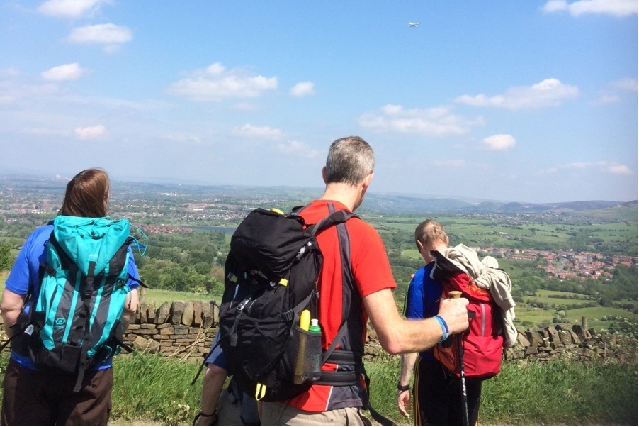
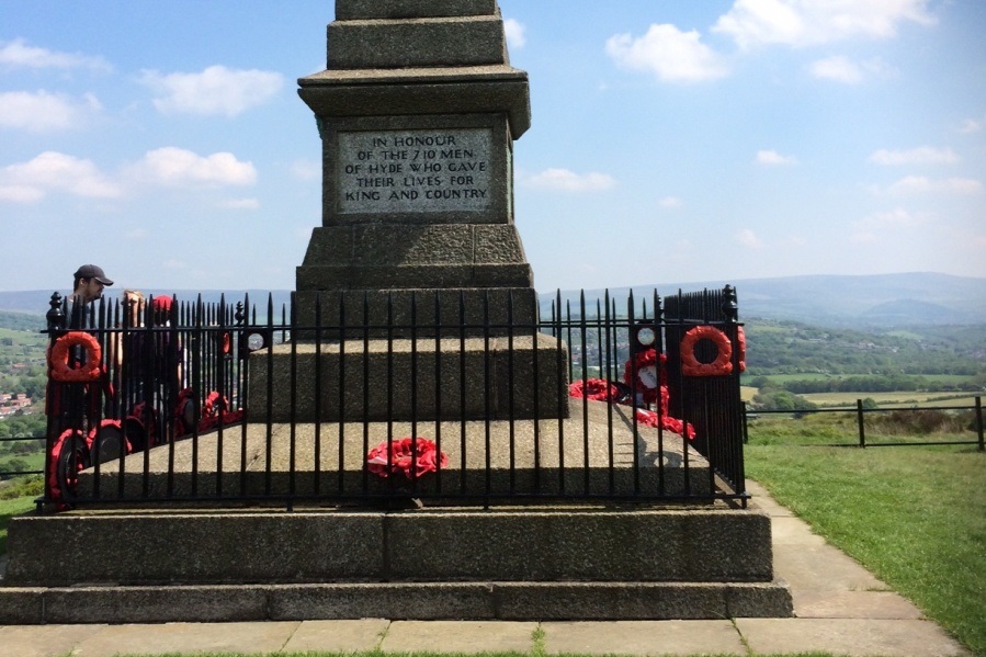
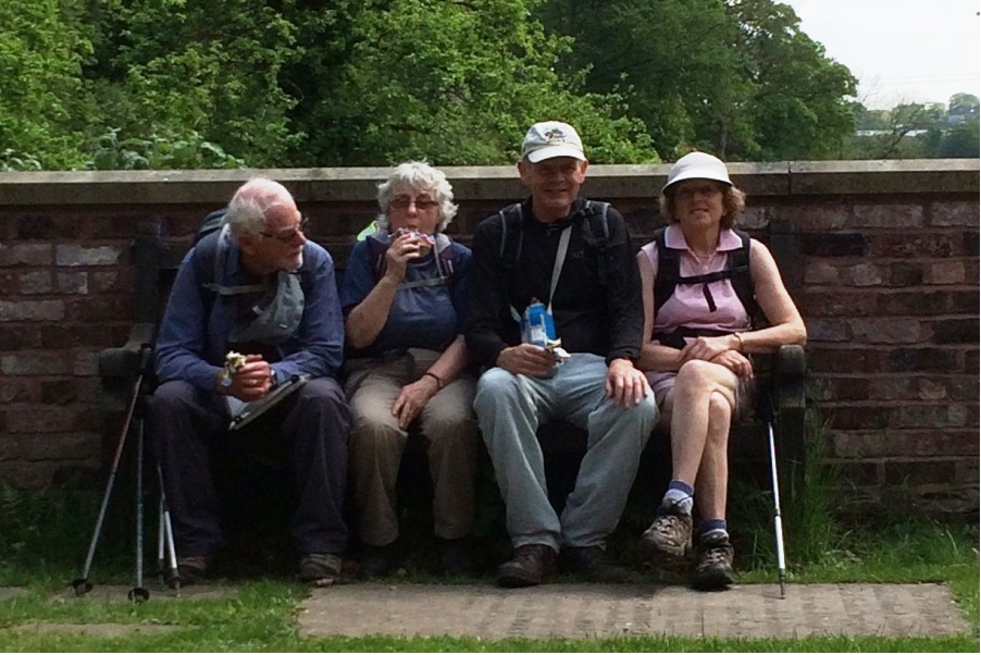


Wednesday 28 May - Haslingden Grane
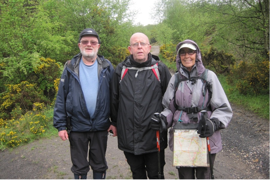
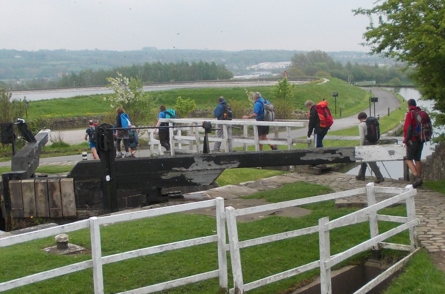
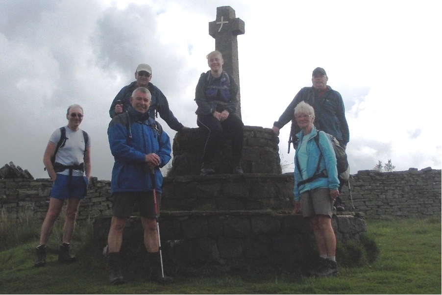
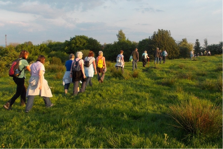
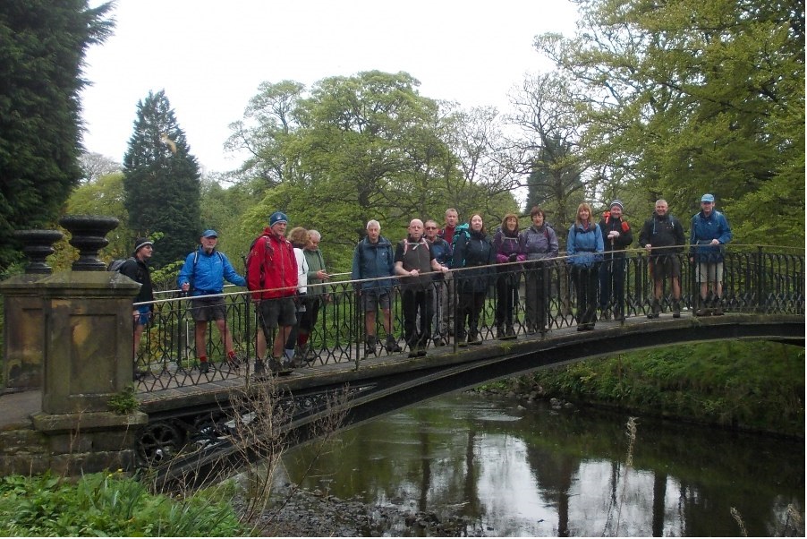
Ed Husband led a group of 11 on this walk. The day had been rainy, and the sky was very dark at the start, but the rain held off during the walk. Underfoot conditions were muddy, and were likely to get more difficult during the planned route, so a shorter option was taken on better tracks, initially along the Rossendale Way, through the woods and the Clough Head Visitor Centre, and around Calf Hay Reservoir.
Sunday 25 May - Compston’s Cross to Deerplay (Mod/Stren: 14 miles)
Ed Husband led a group of 7 on this walk, 5 from Bury Ramblers and 2 from Hyndburn Ramblers. The weather forecast was for rain all day. The route was initially around the reservoir, and then east to Compston’s Cross, joining the Rossendale Way as far as the Deerplay Inn. The rain held off until then. For the rest of the day the group encountered a series of heavy showers. From Deerplay, the group took the Irwell Sculpture Trail south to Bacup, passing a sculpture called “The Sentinel.” From Bacup , the route was west to Edgeside on local paths, then north on the Pennine Bridleway to Lumb and Peersclough Farm, and finally west on local paths back to Clowbridge.
Wednedsday 21 May - Freida’s Memorial Tree Walk
Roy Davies led a group of 24 on this walk in fine weather. The route was linear, starting from the Major PH in Ramsbottom at 7pm, proceeding via Nuttall Park, Summerseat and the Kirklees Trail, and finishing at (and inside) the Help Me Thro PH in Bury.
Sunday 18 May - Werneth Low (Moderate: 11 miles)
Jim Ashton led a group of 10 on this walk, starting from Chadkirk Chapel car park and going through Kirk Wood, Cherry Tree and the valley of Gigg Brook. It then climbed to the war memorial on Werneth Low with views of Bleaklow and Kinder Scout. From there the Trans Pennine Trail was taken down to the towpath of the Peak Forest Canal (including a tunnel) and, after passing Chad’s Well, the car park was reached via Little Wood.
Wednedsday 14 May - Ainsworth Round
Roy Davies led a group of 26 on this 5 mile walk walk in fine weather. The circular walk took in the fine views and footpaths around Ainsworth.
Sunday 11 May - Roundloaf (Moderate: 11 miles)
Barbara McCormack led a group of 3 on this walk, starting from the Anglezarke car park and picnic site near Leicester Mill Quarries. The route included Lead Mines Clough, Anglezarke Moor, Roundloaf, Great Hill, Spitlers Edge, Higher & Lower Hempshaw’s and High Bullough Reservoir.
Sunday 4 May - Barrowford, Barley & Reservoirs (Mod/Stren: 14 miles)
Chris Langabeer led a group of 17 on this walk in mainly good weather with one brief shower. Underfoot conditions were not bad. The walk started at the Seedhill Athletics & Fitness Centre, Barrowford, GR SD855385 and the route took in the villages of Carr Hall, Wheatley Lane and Newchurch, and onward to Barley. It continued past Lower and Upper Black Moss Reservoirs and climbed to the highest point of the walk, Wheathead Height (389m). The Pendle Way was taken for a few miles to reach Barrowford Reservoir, from which point the Leeds/Liverpool Canal was followed over Swinden Aquaduct, before a short walk along the road which led back to the start.
Click for Closeup




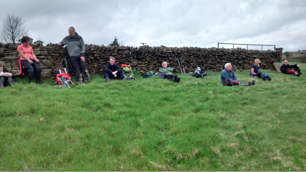
Sunday 27 April - Fairies & Pharoahs! (Mod/Stren: 14 miles)
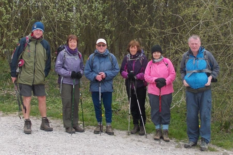
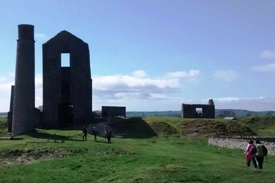
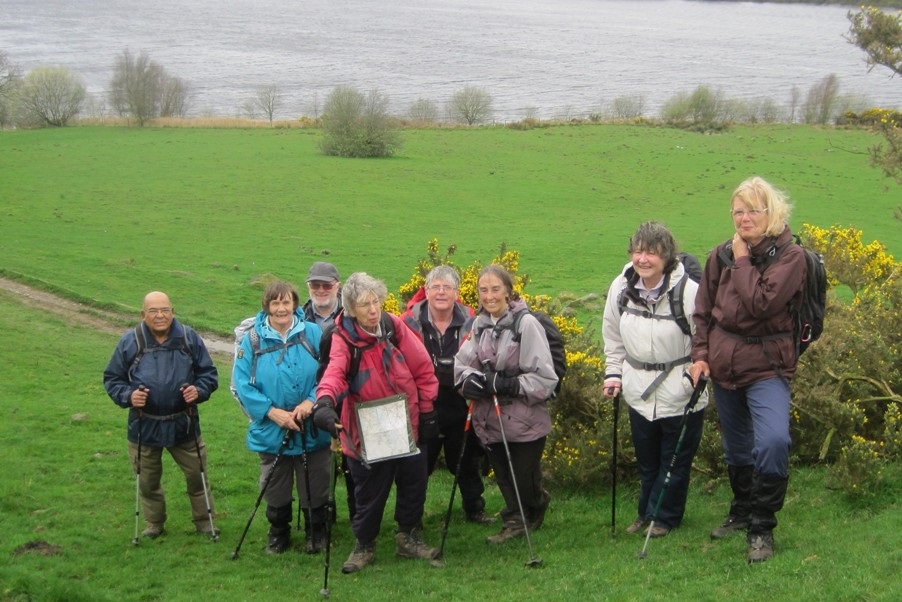
Norman Thomas with Ian Pickup led a group of 13 on this walk in fine weather, with the predicted rain fortunately failing to make an appearance. Starting from Sparrow Hill on the A5209 grid reference SD516109 the route was initially S through the Fairy Glen, then E to the B5375, and then S to Appley Bridge SD523091, the W to Martin's Farm, S to Stone Hall and Beacon Country Park, and the N to Ashurst's Beacon., its pyramid shape perhaps providing the Pharoahs reference in the walk title. From there, the route was NE to Ashleigh Farm, N to Lees Lane, continuing N to cross the Leeds-Liverpool Canal, and then W along the towing path to Parbold for a scenic lunch stop, with ice cream options. After lunch, the route turned N to Bannister Farm, E to Harrock Hill and then S back to the start.
Sunday 27 April - Simister (Welcome Walk: 6 miles)
Reg Norris led a party of 10 on this 6 mile welcome walk. From the Three Arrows Public House at SD842047 the route was initially north on the track at the side of the pub, crossing the motorway via the footbridge, and then following paths through pastures, with sheep and horses for company, to Rhodes. The route then picked up the Rochdale Way to Bowlee. Leaving the Rochdale Way, the route continued to the village of Simister, and then onward via Knutt Lane to cross the motorway once more into Heaton Park, at Heaton Hall. Three of the group stopped behind to have lunch at the hall, and the remaining walkers continued to the Three Arrows, where refreshments were taken. One of the new walkers lives in Rhodes, and so ended up walking close to home.
Sunday 20 April - Combs & Eccles Pike (Mod/Stren: 13 miles)
Ian Pickup led a group of 7 on this walk in fine weather but very windy, especially on high ground. Conditions underfoot were good but with some mud in a few places. From Combs Reservoir at SK034797 the route was initially S to Combs, and Bag House Farm, SW on Ridge Lane, then N past Hazelhurst Farm, SW to Wainstones, and N along Old Road to Wythen Lache. The route continued NW to Folds Farm, N to Cadster House, W to Horwich End, N to New Horwich, and E to Horwich House. The route then turned N to Buxworth, E to Whitehough, S to ascend Eccles Pike, with great views but very windy, and finally S to Bradshaw Hall, Tunstead Milton and back to the start.
Sunday 13 April - Upland Villages Trail (Mod/Stren: 13 miles)
Ian Gorner led a group of 8 on this walk on a fine, sunny and windy day with good underfoot conditions. It was a walk across rolling limestone country, visiting five peak villages. From Taddington, the route was initially E and S to Wheal Lane, turning NE to descend into Deep Dale, and at the end turning E and then S for a steep climb. The route continued S to Sheldon, and SW to Monyash for lunch. The direction was then NW along the Limestone Way to Flagg, continuing NW to Chelmorton, and finally E back to Taddington.
Sunday 6 April - Hills & Hamlets of Holmfirth (Mod/Stren: 11 miles)
Simon Holder led a group of 9 on this walk, in mainly good weather but with a few heavy showers. Conditions underfoot were mainly good, but some muddy patches caused a couple of falls.
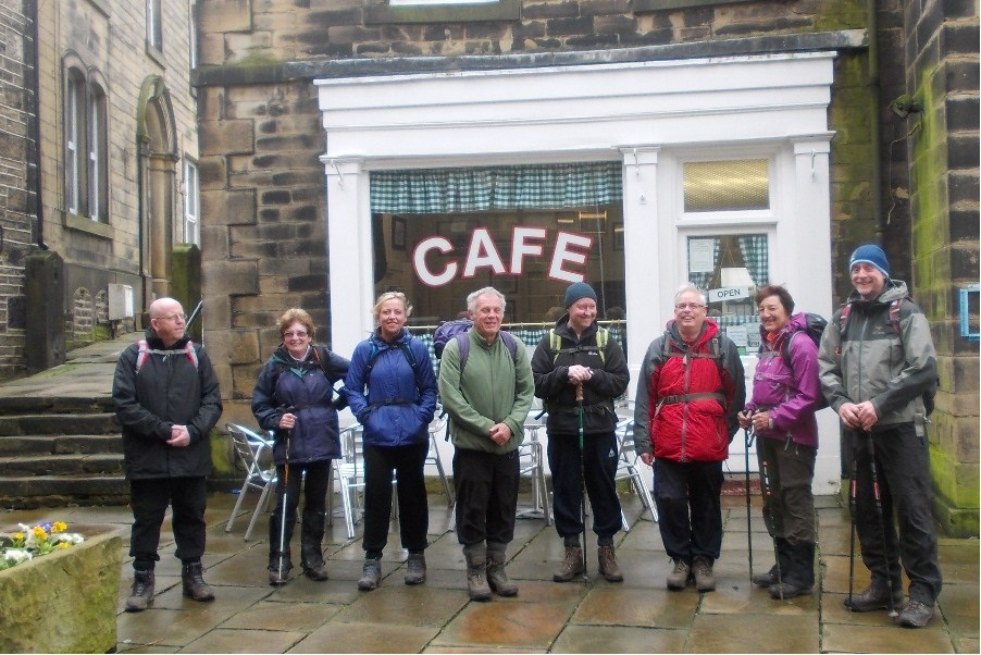
From Holmfirth, pausing outside the cafe made famous in "Last of the Summer Wine" for a group photo, the route was undulating, starting east taking in New Gate, New Mill, then north to Biggin, turning west to cross the main road to the west of Brockholes, and then south to Mytholm Bridge, south-west to Netherthong, Wolfstones Heights, Upperthong, Nether House, Hogley Green, New Laith, Carr Green, turning north-east to Upper Stubbin, Hinchcliffe Mill, New Dunsley, Upper Bridge and back to Holmfirth.
Sunday 6 April - Anglezarke Amble (Moderate: 9 miles)
Brenda Wheatley led a group of 9 on this walk, starting from Rivington Lower Barn. Despite the forecast, the weather was fine with just a short shower.
Click for Closeup




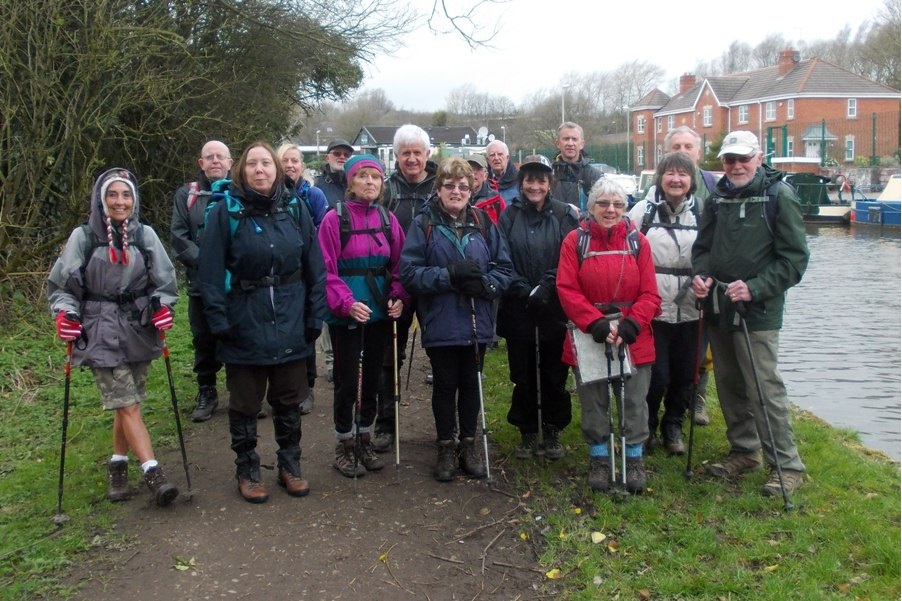
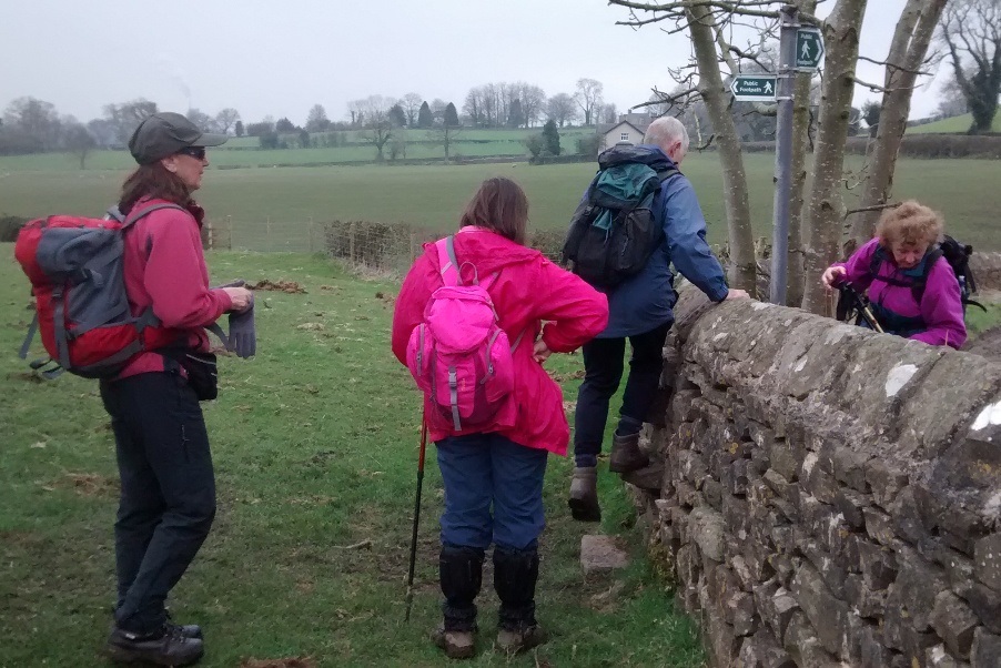


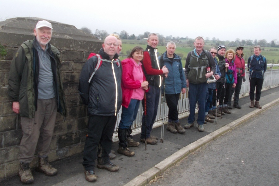




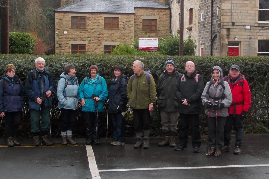
Sunday 30 March - Haworth (Moderate: 11 miles)
Chris and Kepa led a group of 11 (plus a dog) on this walk in fine weather, but encountering midges for a spell in the morning. From Penistone Country Park, the route was initially to Haworth, already fuil of tourists, and across the River Worth. It then took in Ponden Reservoir, Ponden Clough, the Alcomden Stones, Withins and Bronte Waterfalls where lunch was taken) before returning to the start.
Sunday 23 March - Coach Trip to York
Thanks to Peter for organizing this coach trip, and to the walk leaders, Jim Byrom (Strenuous walk), John Clements (Moderate walk) and Peter Rowley (Easy walk). The coach was full with 48 passengers on-board, 4 on Jim's walk, 9 on John's walk, and the rest with Peter, taking in the walls, and other points of interest around the city.
Sunday 16 March - Appley Bridge & Ashurst Beacon (Moderate: 10 miles)
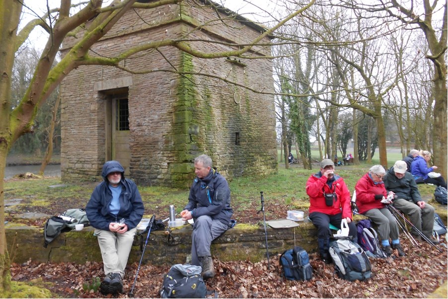
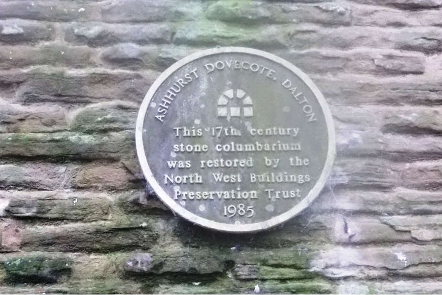
Jean Ashton led a group of 17 on this walk, in generally fine weather with a short spell of light rain in the middle, and with underfoot conditions muddy in just a few places. The walk started near Appley Bridge station and initially followed the canal towpath to Gathurst. It then proceeded along the valley through Dean Wood, reaching Ashurst Beacon by way of Roby Mill. Ashurst Beacon is a superb viewpoint, and on a clear day the mountains of both Snowdonia and Cumbria can be made out. On this walk, unfortunately, we could only see the beacon itself when close to it. The walk descended then to Ashurst Hall (with a 17th century restored dovecote) before taking lanes and field paths to cross the canal, finally joining Wood Lane for the route back to Appley Bridge.
Sunday 9 March - Downham (Mod/Stren: 13 miles)
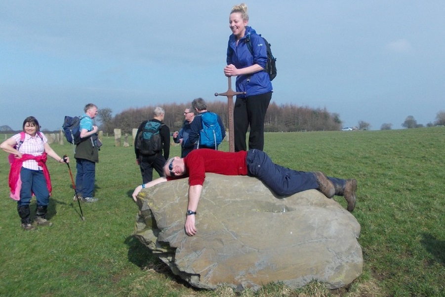
John Talbot led a group of initially 11, later 13 on this walk, in warm sunny weather, with some mud but much improved underfoot conditions. Starting from Downham, the route skirted Worsaw Hill, passing through Chatburn before following the Ribble Way eastwards. Lunch was taken at Sawley Abbey, and the route continued east along the Ribble Way, past the sword in the stone (where we could not resist our usual photo-opportunity) and passing also a group of metal detecting enthusiasts, onward east to Gisburn-Cotes. The route was then south to Rimington and Ings Beck, and then west back to Downham.
Sunday 9 March - Brindle to Whittle-le-Woods (Easy: 7-8 miles)
Ken and Jen Hayes led a group of 14 on this walk.
Thursday 6 March - Annual Dinner
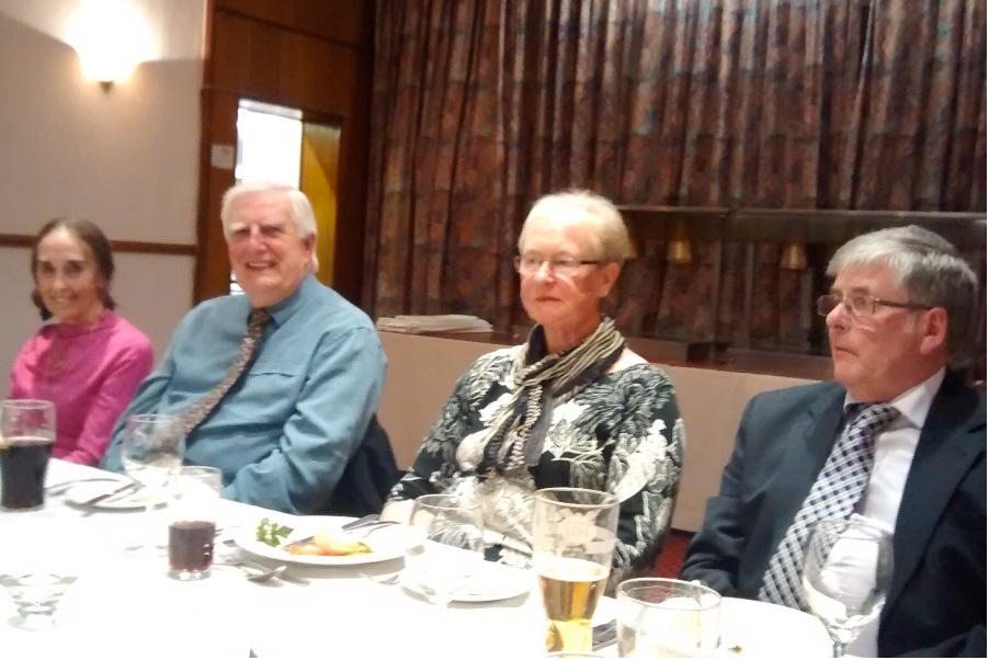
Thanks to Brenda Wheatley for organising the Annual Dinner at Stand Golf Club, which was attended by 22.
Sunday 2 March - Todmorden to Warland (Moderate: 9 miles)
Reg Norris led a group of 12 on this walk, on a day when rain was forecast, and duly arrived in the afternoon, but fortunately leaving the morning dry. Underfoot conditions were muddy and slippery in places. The walk started from Todmorden, going first uphill to the Basin Stone, and then visited Gaddings and Warland Reservoirs, joining the Pennine Way, where it was windy on the higher ground. There followed a descent to the Rochdale Canal for lunch, followed by a second climb to the higher ground west of the canal, and then a walk north, and a last descent to walk the final 2 miles back to Todmorden along the canal.
Click for Closeup


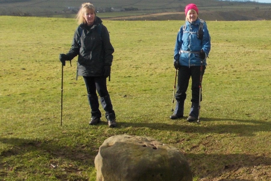
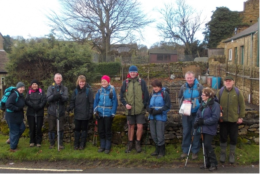
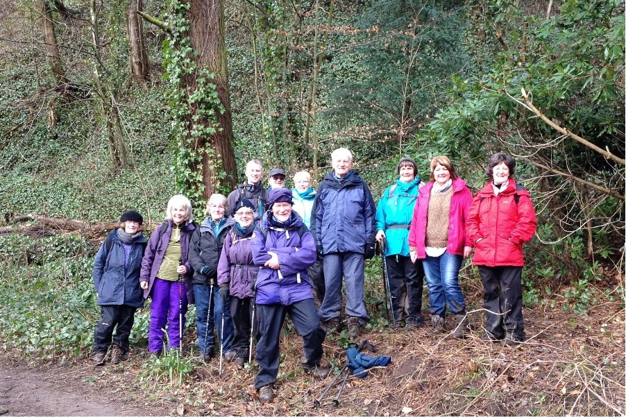
Sunday 23 February - Extwistle Moor Circular (Moderate: 12 miles)
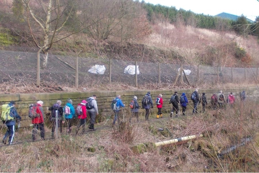
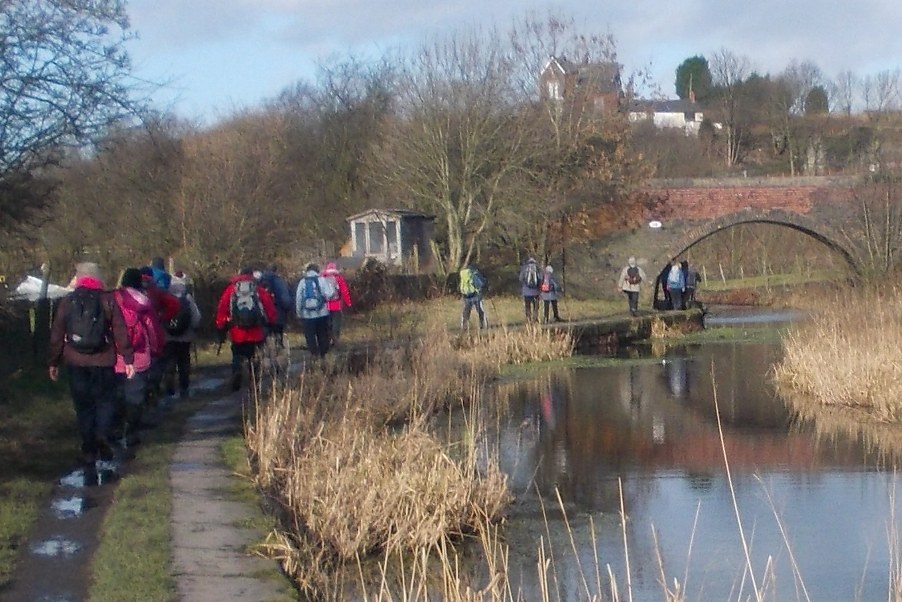
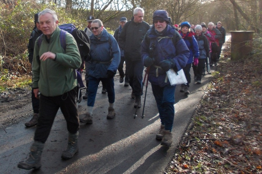
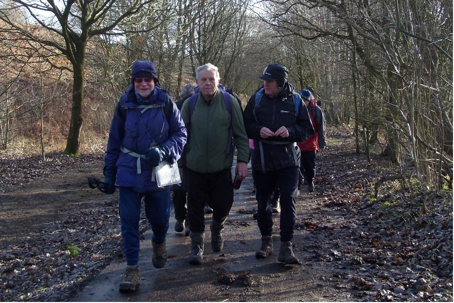
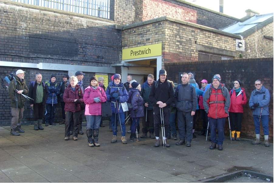
Mike Case led a group of 7 on this walk. On the first half of the walk the ground was heavy but the weather was fine. After lunch the underfoot conditions were much better (minor roads and bridleways) but the weather deteriorated, with a strong wind and driving rain (of the fine variety fortunately). The walk finished by 2.45pm. The walk started from Worsthorne, and took Extwistle Road (a minor road) north to Swinden Reservoir. Here it met the Burnley Way which was followed to Musty Haulgh and Shore’s Hey, before going along the Thursden Valley. Continuing on the Burnley Way, Widdop Reservoir was the next objective, where the Pennine Bridleway was met and taken onto Gorple Gate (track). The walk left the Pennine Bridleway on reaching Gorple Road, which led back to Worsthorne.
Sunday 23 February - Ramsbottom and Summerseat Circular (Welcome Walk: 5-6 miles)
Mike Minett led a group of 14 on this welcome walk, including 4 new walkers with Bury Ramblers. The weather was fine, despite a poor forecast, and stayed dry almost until the end of the walk. The route followed The Irwell Sculpture Trail south to Summerseat, returning to Ramsbottom via Holcombe and Peel Tower.
Sunday 16 February - Sir William Hill from Eyam (Moderate: 11 miles)
This was not a day in the bookies, as one of the group thought it might be, but a great walk in fine February sunshine. John Talbot led a group of 11 on this 11 mile walk in warm weather for February, but again with some muddy and slippery underfoot conditions in places. Starting from the Miners Arms in the plague village of Eyam, the route passed the boundary stone, where it is reputed that coins were left in vinegar by those remaining in the village, to be exchanged by those outside for bread. It then descended to Stoney Middleton, before following the fast-flowing River Derwent upstream, crossing the river at the bridge at Froggatt. The route then passed through woodland and pasture before crossing the river again at Leadmill Bridge. After continuing through the secluded valley of Highlow Brook, there followed a stiff climb to Sir William Hill. Finally a short level section was followed by a descent back into Eyam and the Miners Arms.
Sunday 9 February - Rossendale (Moderate: 11 miles)
Jim Byrom led a group of 11 on this 11 mile walk, starting and finishing at the Rostron Arms in Edenfield. The walk started in continuous rain which gradually eased off and stopped by lunchtime. Underfoot conditions were very difficult, muddy and wet, sometimes flooded, with a few falls on slippery descents. From Edenfield, the route was first downhill to Irwell Vale, then climbing through Torside to the Rossendale Way, which was followed towards Musbury Heights. There was then a descent to Hollin Bank, returning to Irwell Vale and along the former railway track to Strongstry, through Chatterton, scene of the 1826 riots and then up Hollins Lane, Michael Wife Lane and down Gin Croft Lane back to the start.
Sunday 9 February - Styal Country Park (Welcome Walk: 5 miles)
Ian Gorner led a group of 13 on this Welcome Walk, in dry but windy conditions. It was very muddy underfoot. The group had a stop near the airport runway, and watched a couple of flights going in and out. After the walk all the group went to the tearoom in Quarry Bank Mill.
Sunday 2 February - Irwell Sculpture Trail (and more) - Prestwich to Bury (Moderate: 11 miles)
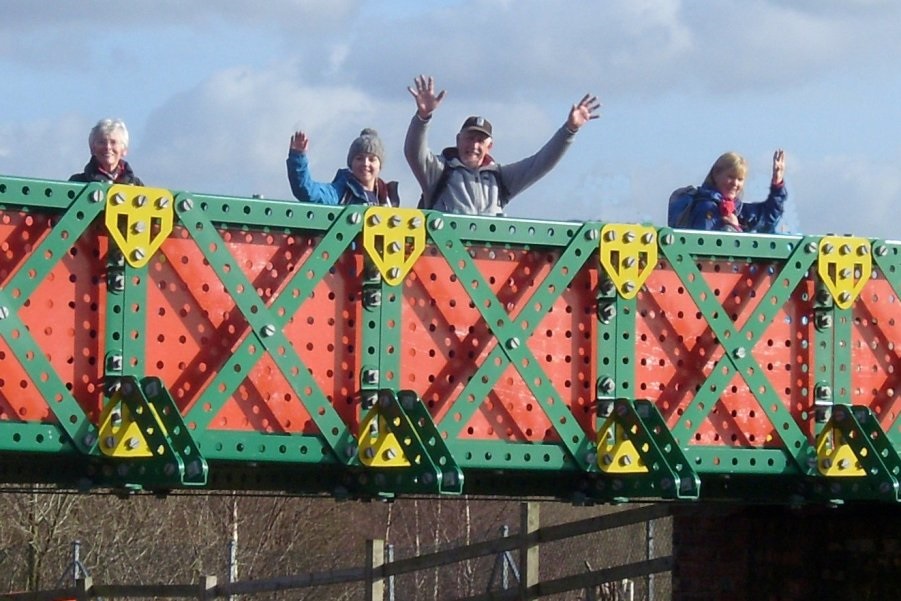
Jim Ashton led a group of 32 on this linear walk, with Ian Gorner backmarking, on a fine, dry and sunny winter's day. The main group met at Bury Interchange, taking the Metrolonk to Prestwich, meeting others at the destination. From Prestwich, the group then walked back to Bury, via Prestwich Clough, and then the Irwell Sculpture Trail. The route left the Trail for Higher Heaps, joining the Bury & Bolton Canal at Nob End. It then crossed the Meccano Bridge and continued along the towpath to skirt Radcliffe, once again on the Sculpture Trail. On leaving the canal the walk headed to Elton Reservoir and then took the Daisyfield Trail back to Bury.
Click for Closeup







Sunday 26 January - Todmorden to Trough Edge (Moderate: 5 miles)
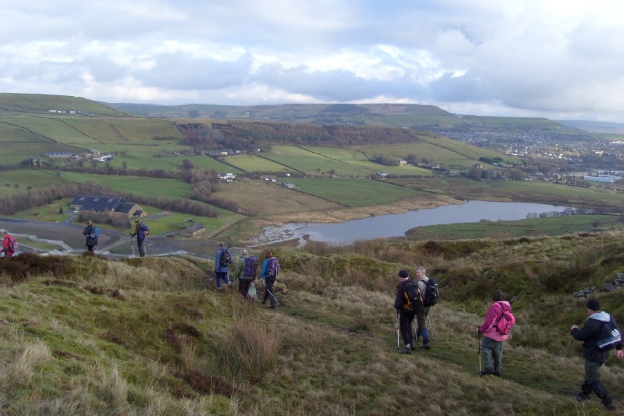
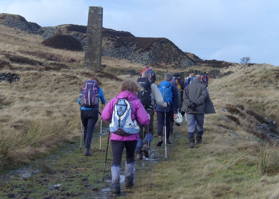
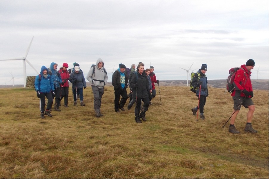
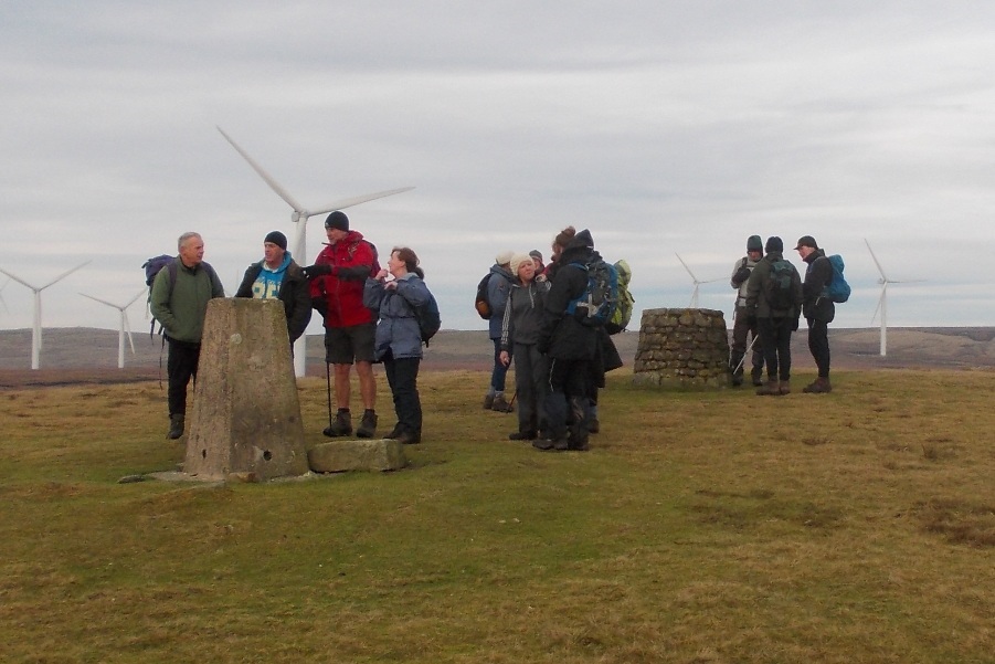
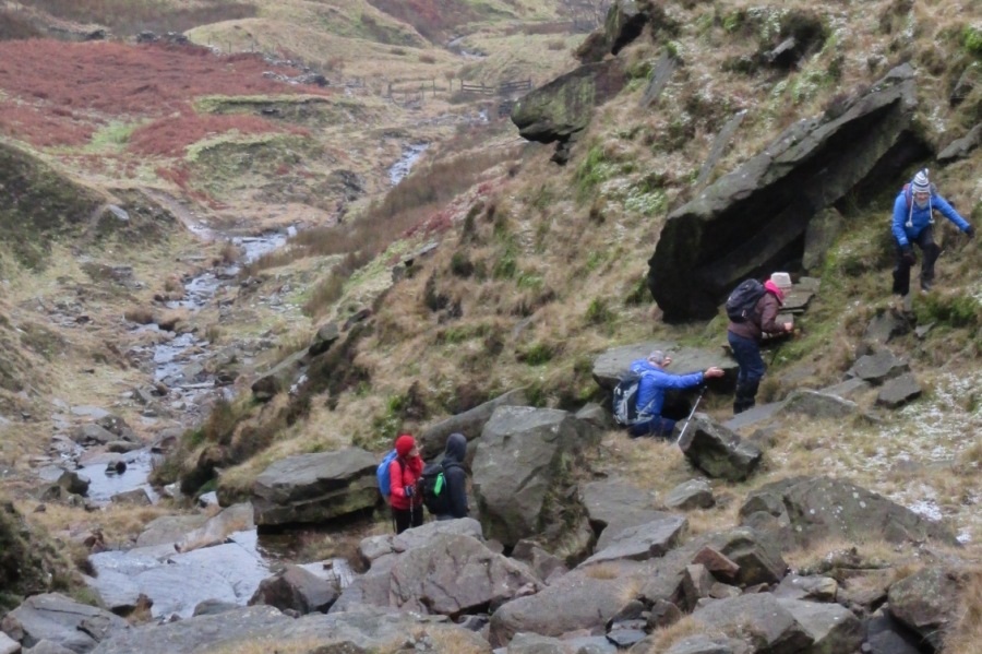
John Clements had been due to lead an 11 mile walk from Todmorden, but conditions were not good, with a lot of rain falling over the previous few days, and relentless rain all night and into Sunday. After initial discussion of options, it was decided to reduce the walk to 5 miles. The rain and wind continued, and normally gentle streams were swollen to raging torrents as the group of 6 climbed to Todmorden Edge, and then headed south towards Gorpley Reservoir before negotiating a slippery descent and finally returning along the Rochdale Canal to Todmorden. Not quite Langden Castle, but it brought back memories!
Sunday 26 January - Rolling ’Round Rammy (Easy: 8 miles)
Janet Brady and Pauline Howarth led a group of 8 on this walk, starting from Nuttall Park in Ramsbottom. There had been a lot of interest in a pleasant local walk, suitable for new walkers, but the continuous rain overnight, and wet conditions underfoot, could have put off a number who were intending to come.
Sunday 19 January - Against The Grane (Moderate: 8-9 miles)
Ed Husband led a group of 30 on this walk, with Ken Ware backmarking. The walk was planned to be 10-11 miles, but cut short by popular demand because of the adverse underfoot conditions. The weather was good for January, only a very small shower at the beginning, but increasingly there was deep mud. Starting from Clough Head, the route was initially east along the Rossendale Way, continuing to Holden Vale, and then a short stretch alongside the River Ogden. There was then a climb through muddy farmland to to the Chimney at Musbury Heights, and a slippery descent for lunch by Calf Hey Reservoir. The mud became worse as the group approached the cottages where illegal distilling once took place, and so headed north to cross the Grane Road and then east back to the start.
Sunday 12 January - Heywood to Knowl Hill (Moderate: 10 miles)
Alan Pilling led a group of 18 on this walk, on a fine winter's day, with no rain, but with occasional slippy underfoot conditions. Starting from the free car park on Queens Park Road, Heywood, there was initially a high-level walk above Ashworth Valley, before descending to Deeply Vale. The route then continued past Ashworth Reservoir, and climbed steadily through the wind turbines to Knowl Hill, followed by a gradual descent above the scenic Naden and Greenbooth Reservoirs. The return was via Wolstenholme, Jowkin and Plumpton Woods.
Sunday 5 January - Wet Moss & Beyond (Moderate: 12 miles)
Stewart and Janet Brady led a group of 11 on this walk. Underfoot, it was soggy, and the weather, dry at first, turned to rain in the afternoon. Starting from Woodhey, the route went through Redisher Woods before climbing via Saplin Wood to Moorbottom Road. It continued up Redbrook, and across Wet Moss towards Musden Head, past an abandoned vehicle, possibly following a defective Satnav route. The Rossendale Way joined and was followed for a stretch, before returning to Moorbottom Road and back to Holcombe Brook.