
For photo(s) from the walk(s), see month
Click for Closeup


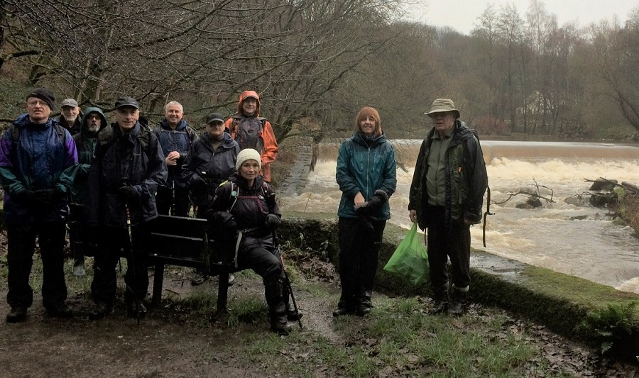

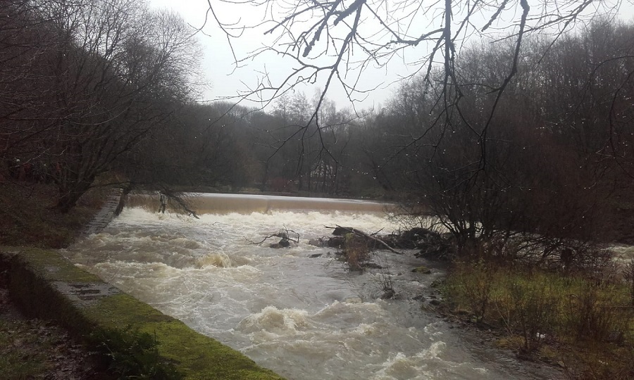

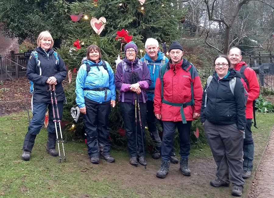
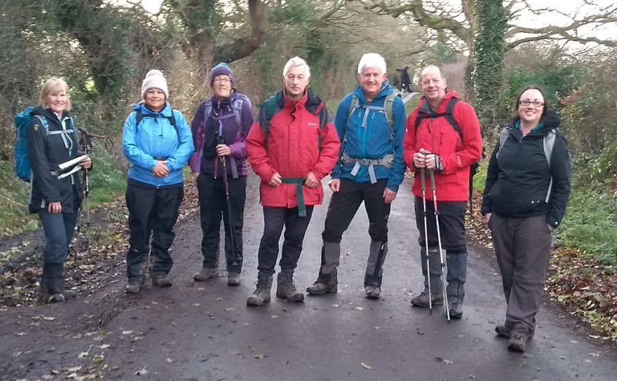
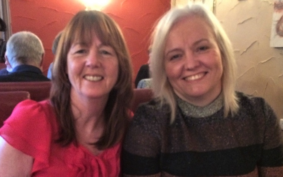
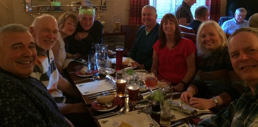
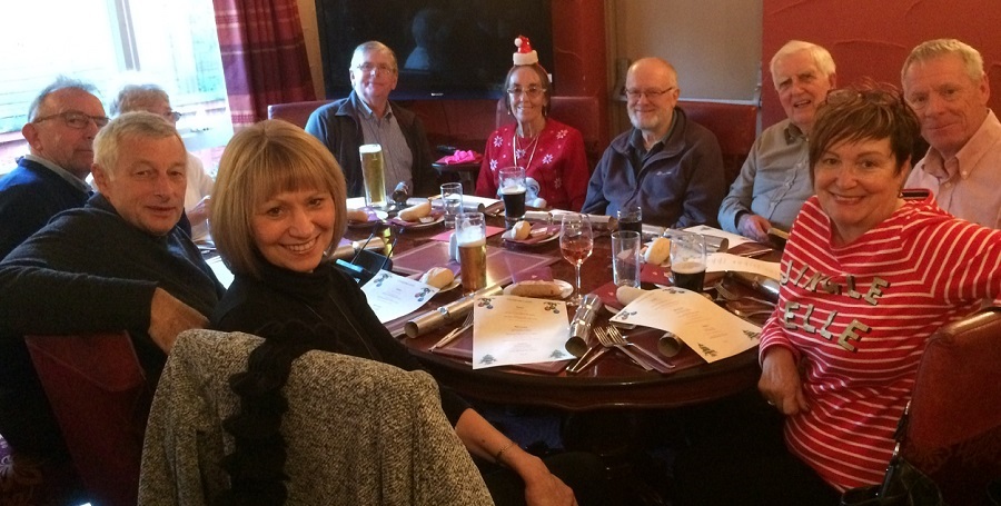

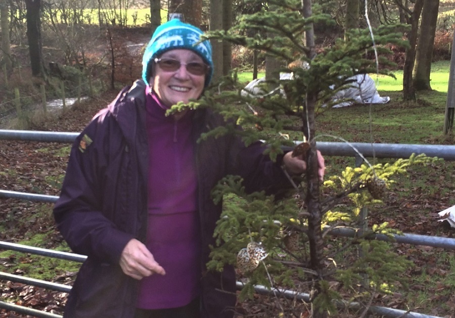

Sunday 30 December - Reservoirs & Turbines (Moderate: 10 miles)
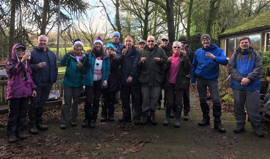
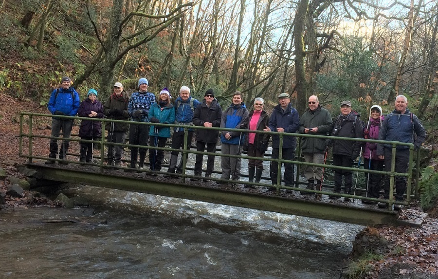
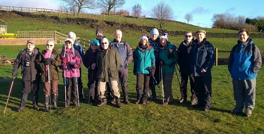
For the last walk of the year, Ray Bangbala led a group of 15, on a day which was forecast to be dry, but which was, in fact, rainy for much of the day. From Healey Dell the route was initially north, then west along Knacks Lane and Forsyth Brow to Naden Lower Reservoir, continuing on the Rochdale Way, through the wind farm on Knowl Moor, and past Higher Hill and Hail Storm Hill to Hamer Hill, and finally SE on the Rooley Moor Road to Catley Lane Head, and back to the start.
To view the route on OS maps click here
Sunday 23 December - Monkeytown 2 (Moderate: 11 miles)
Alan Pilling led a group of 11 on this walk on a rainy day. From the free car park on Queens Park Road, Heywood (opposite Queen’s Park), the route was along the River Roch to Crimble, and then Kenyon Fold, Mooredge Farm, Wolstenholme Fold, Black Dad, Cleggs Wood, Deeply Vale, Scotland Lane, Nineveh Farm, Gallows Hill, Delph House Farm, Gristlehurst Farm, Hooley Bridge, and finally back to the start. There was also a very pleasant stop for mince pies and mulled wine. The weather was annoying, but did not spoil the day. After the walk, some of the group went to the Pig and Whistle for refreshments.
Sunday 16 December - Quarry Bank Mill (Moderate: 10 miles)
After one of the worst days of the year on Saturday, with wind and rain all day, the weather cleared up on Sunday to deliver a fine day for this walk, led by Kepa and Chris.The walk started from Quarry Bank Mill car park (National Trust). From there, the route was to Styal Cross, and then west along the River Bollin to Giant’s Castle, continuing under the Manchester International Airport runway and then SW to Wood Lane, Lady Lane and Davenport Lane past Wayside Farm and along Graveyard Lane, and then NE to Saltersley Hall Farm. From there the route continued E to Black Lake on Lindow Common, continuing on the North Cheshire Way to re-join the River Bollin heading north, back to the start. The walkers enjoyed great views of the airport, with planes taking off and flying low overhead for most of the day.
Sunday 9 December - Morning Walk Around Ashworth Valley (Easy: 6 miles)
Tracey Parton led a group of 15 on this walk, in surprisingly good weather after all the recent rain. From the Church Inn at Gallows Hill, the route was to Delph House Farm, Cleggs Wood, Black Dad, Dairy House, Seddons Farm, Wolstenholme Fold, then south along Naden Brook, Carr Wood and Gelder Wood and finally west, back to the start. There was a welcome stop during the walk for mince pies and mulled wine from Jean and Tracey. After the walk, others from the group then joined for an excellent meal at the Church Inn.
Sunday 2 December - Whalley Wobble (Moderate: 10 miles)
Norman Thomas led a group of 12 on this walk, on an initially wet day which cleared up later. It was, however, very wet underfoot.
From Springwood car park, the route was west to Whalley, crossing the River Calder and heading south to Whalley Banks and continuing to cross the river at Cock Bridge. The route was then NE to Read Park and Hodgeon Stone Plantation, and on to Black Hill, Padiham Heights and north to Sabden. From Sabden the route was west to Wiswell Moor Houses, and then SW back to the start, and the Gamecock.
Click for Closeup


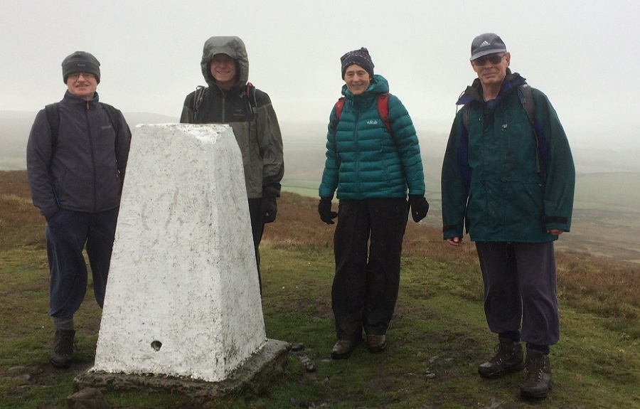
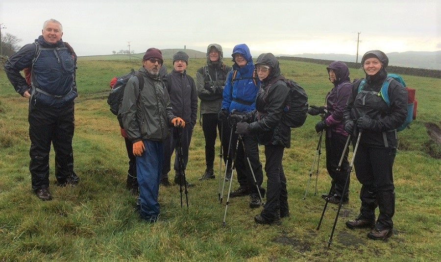
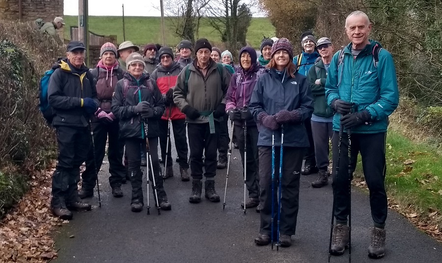
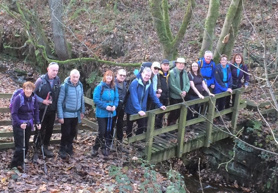


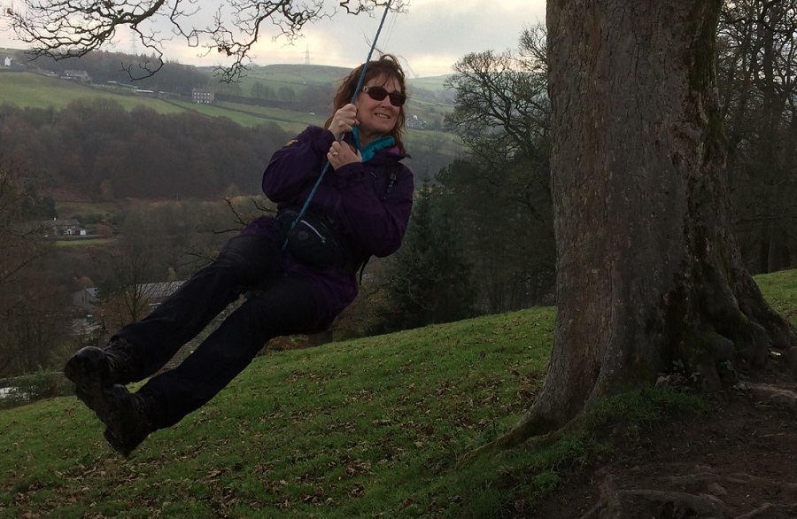
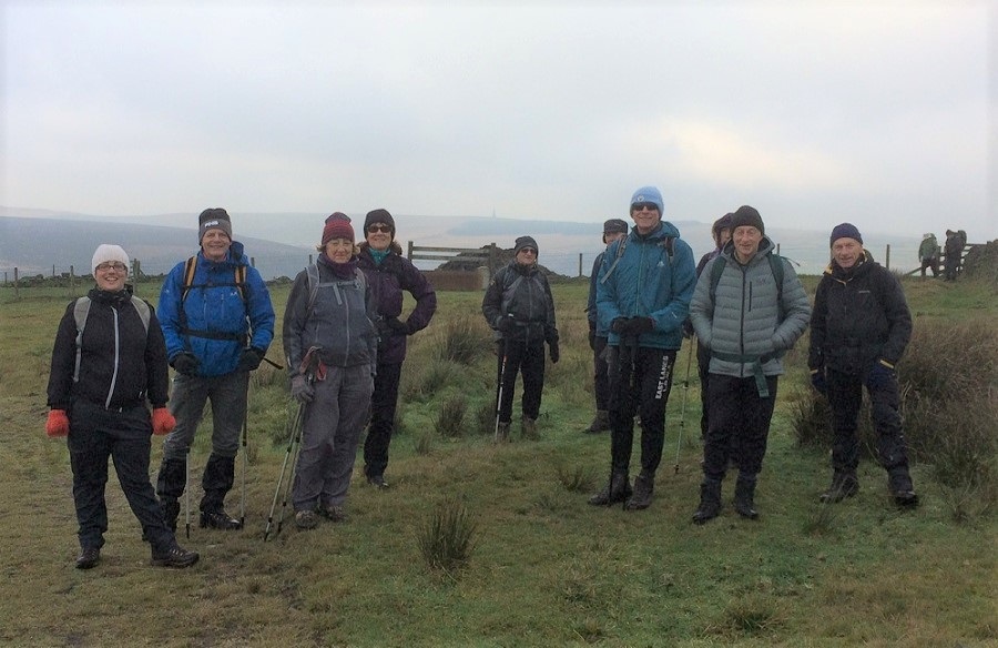
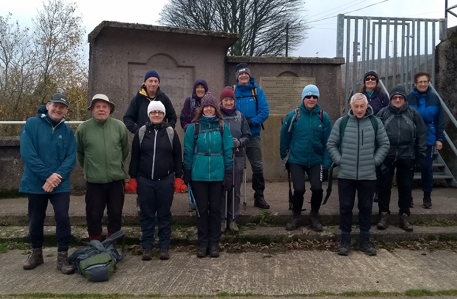
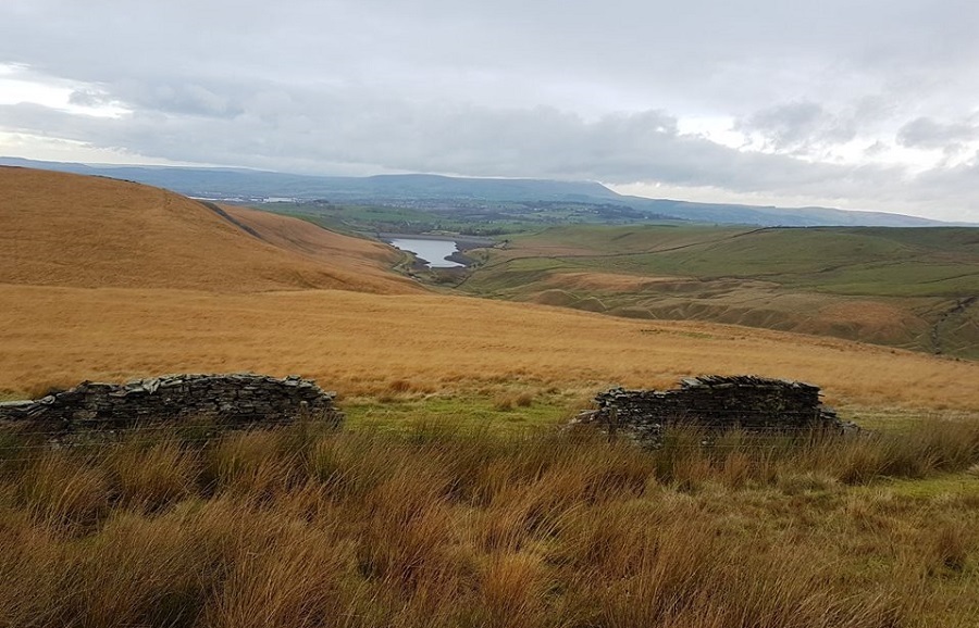


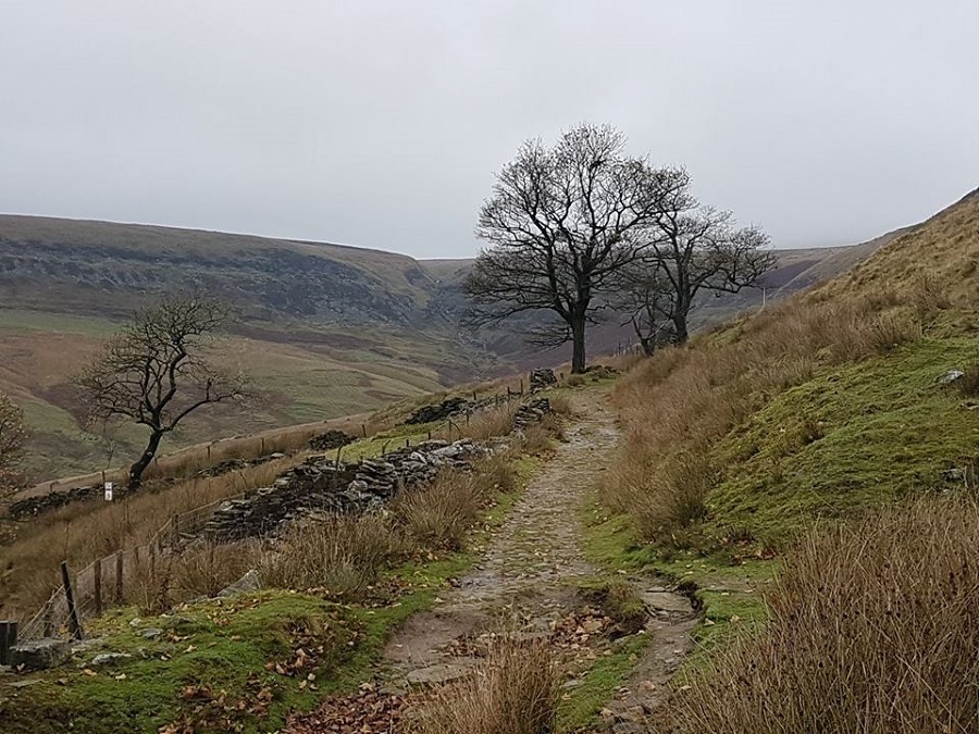

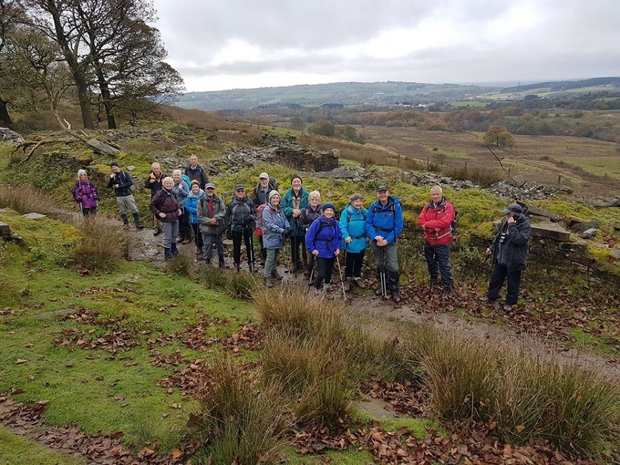

Sunday 25 November - Weets Hill (Moderate: 10 miles)
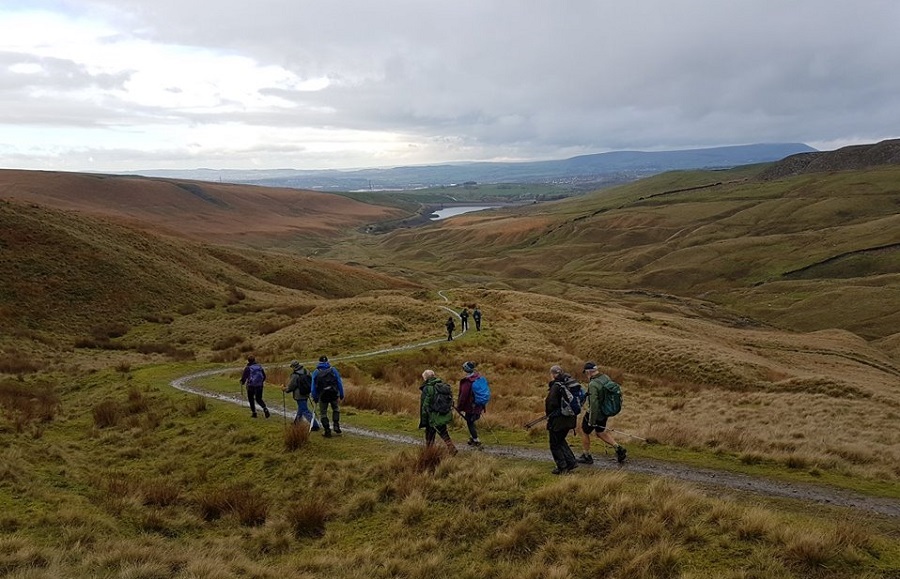
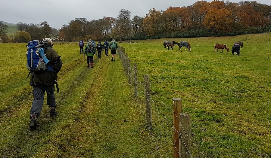
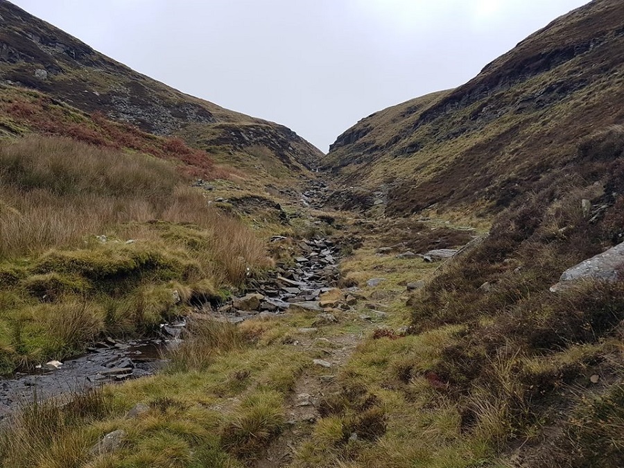
Alan Pilling led a group of 20 on this walk, in weather that was forecast to be dry, but unfortunately the forecast was incorrect. From Foulridge, the route was north to Salterforth Bridge and Cockshott Bridge, then west to Letcliff and along Folly Lane to Weets Hill, then south on the Pendle Way to Greenbank Farm, Hollin Hall and Slipper Hill Reservoir and east past Foulridge Lower Reservoir back to the start.
Sunday 18 November - Ryburn Round (Mod/Stren: 13 miles)
Barbara Shelton led a group of 14 on this walk in sunny and dry weather. From Baitings Reservoir, the route was uphill to Manshead End, Great Manshead Head and continuing NE to Catherine Slack and then E to Cotton Stones, S to Great House and E to Clapgate Lane. The route was then E to Ripponden Wood and S to Brig Royd, continuing alongside the River Ryburn to Ryburn Reservoir, and then W along the S side of Baitings Reservoir to Baitings Dam and then back along the N side of Baitings Reservoir to the start, and on to the White House for refreshments.
Sunday 11 November - Poets, Authors & Reservoirs (Mod/Stren: 12 miles)
Chris Langabeer led a group of 11 on this walk, on a day with drizzle at first, which cleared up during the day. To mark one hundred years from the end of World War One, there was a pause for 2 minutes silence at 11am.
From Burnley, the route was towards the 14th century Towneley Hall, before arriving at the hamlet of Hurstwood, the home of the Elizabethan poet Edmund Spenser. It continued past Hurstwood Reservoir, and joined the Pennine Bridleway over Extwistle Moor and Rieve Edge. After going through the Thursden Valley the Bronte Way was joined to pass Swinden Reservoir and the ruins of Extwistle Hall, to reach the last reservoir of the day at Pike Hill. It was then just a short walk back to the start, and the Thornton Arms.
Sunday 4 November - Holcombe & Edgworth Circular (Moderate: 10 miles)
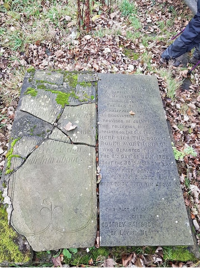
Dave Capell led a group of 20 on this walk in fine weather. From the car park on Lumb Carr Road near Holcombe Village, the route was along the Moorbottom Road past Taylor’s Farm round the firing range and Quarlton Heights to Wayoh Reservoir and on to Edgworth, Red Earth Farm and Roger Worthington’s Grave. The route continued south to Higher House Farm, continuing east to Simon’s Farm and on, through Redisher Wood, to Holcombe Brook. Finally, the footpath to the west of the B6214 was taken north back to the start, and the Shoulder of Mutton.
Click for Closeup


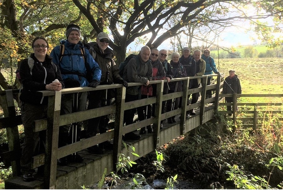


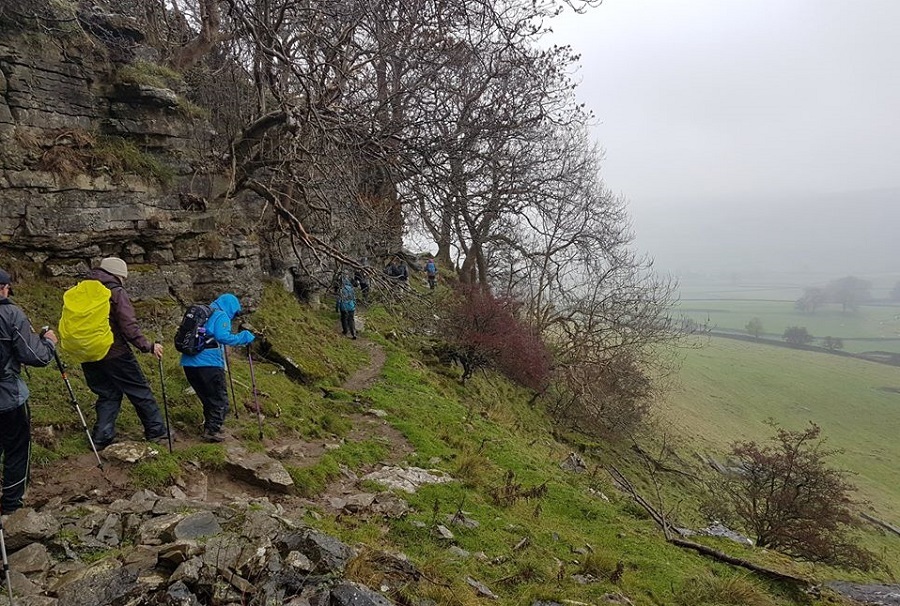
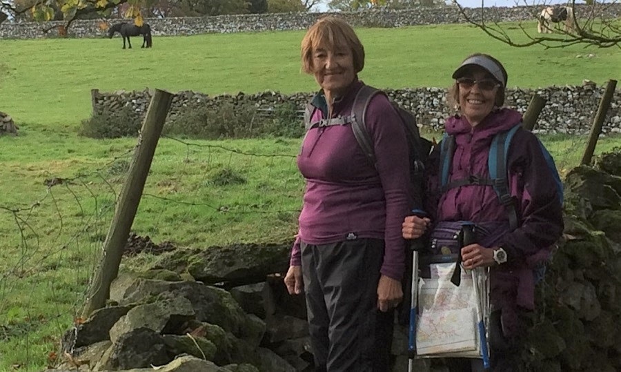
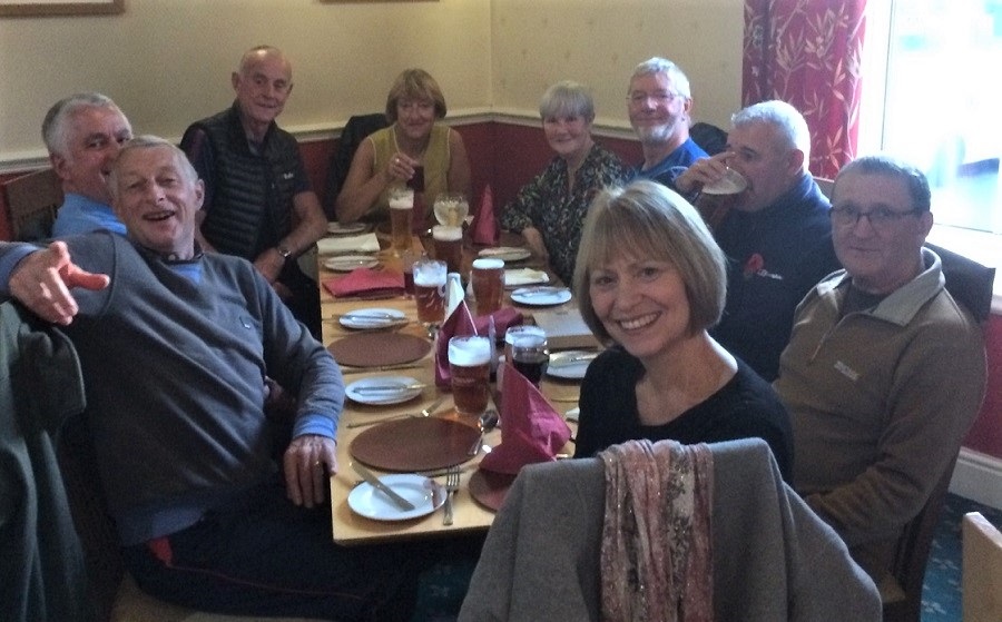


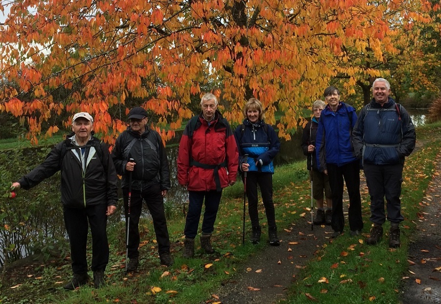





Sunday 28 October - Mellor (Moderate: 9 miles)
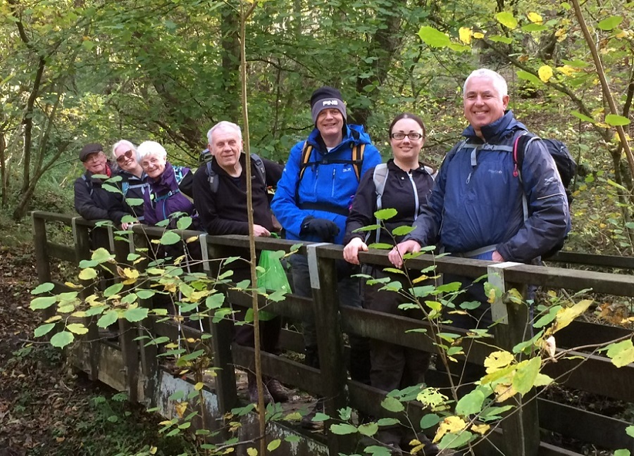
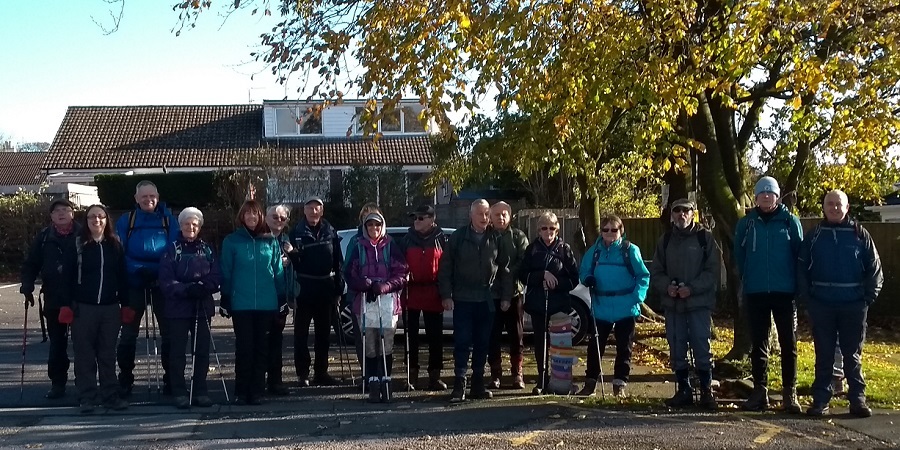
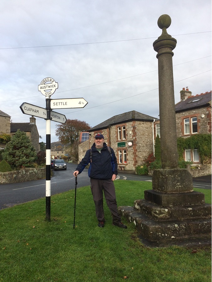
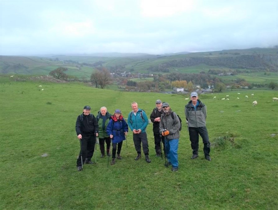
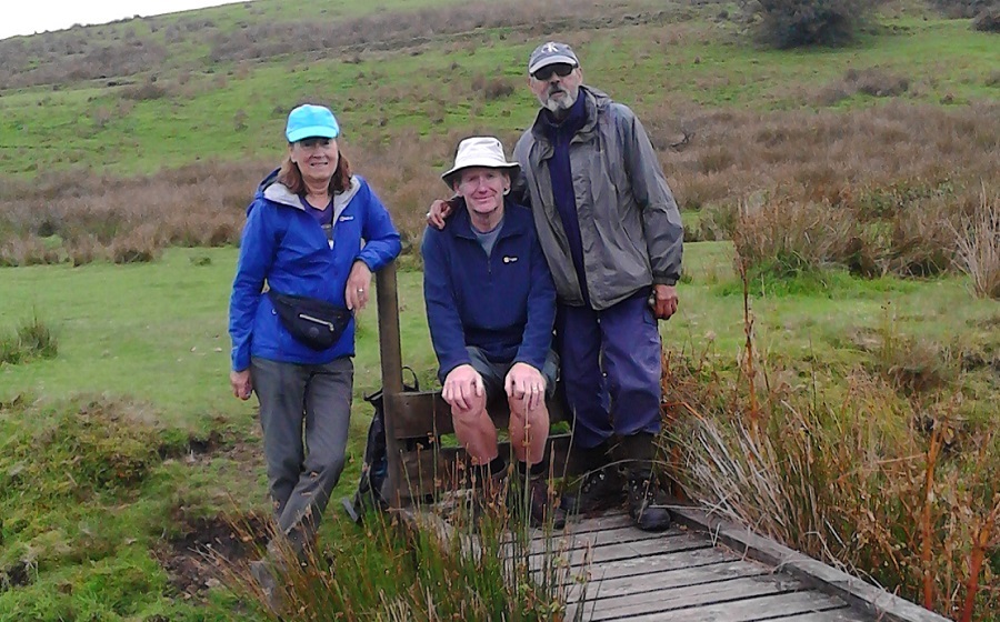
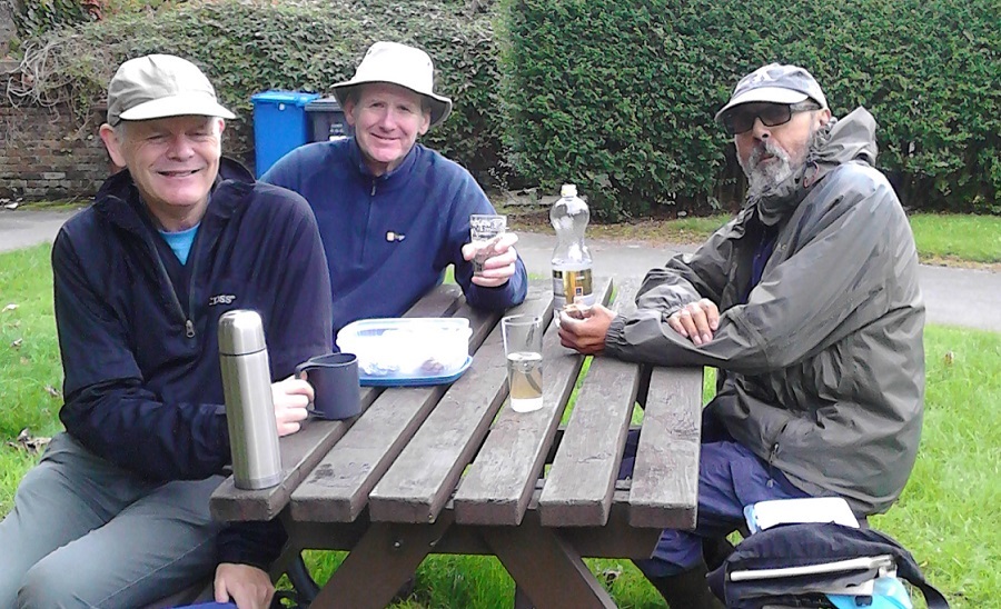
Barbara McCormack led a group of 18 on this walk in fine, sunny weather. From Mellor the route was east to Ramsgreave Hall, then north to Hagg’s Hall and Copster Green, and then heading west to Showley Hall. The route was then south to Osbaldeston and back to Mellor, and the Traders Arms.
Sunday 21 October - Coach Trip - Yorkshire Dales
Thanks to Peter for organising this coach trip, and to the walk leaders Mike Minett, Barbara McCormack and Peter Rowley. There was some intermittent rain, but it did not spoil the day. Following the walks, the group went to the Calf's Head, Worston where the food was, as usual, excellent.
Sunday 14 October - Haigh Hall Stroll (Mod/Stren: 13 miles)
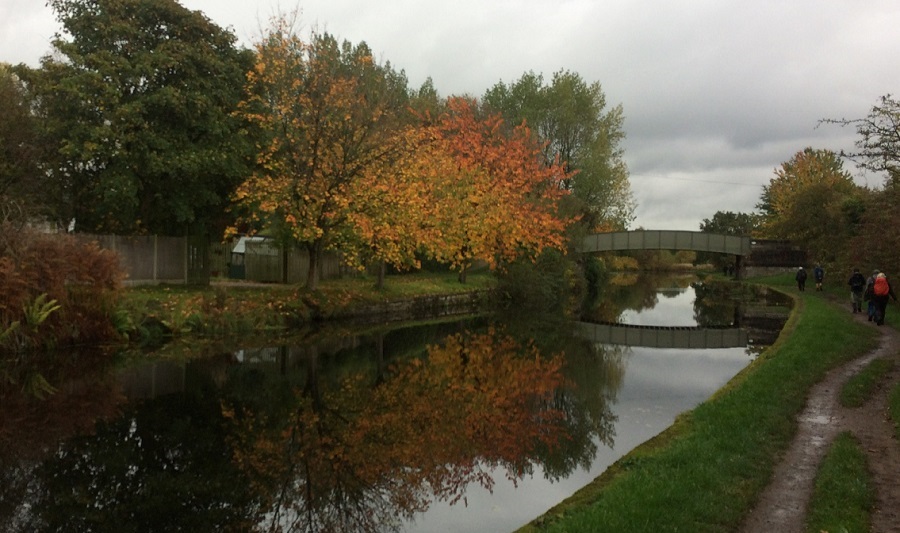
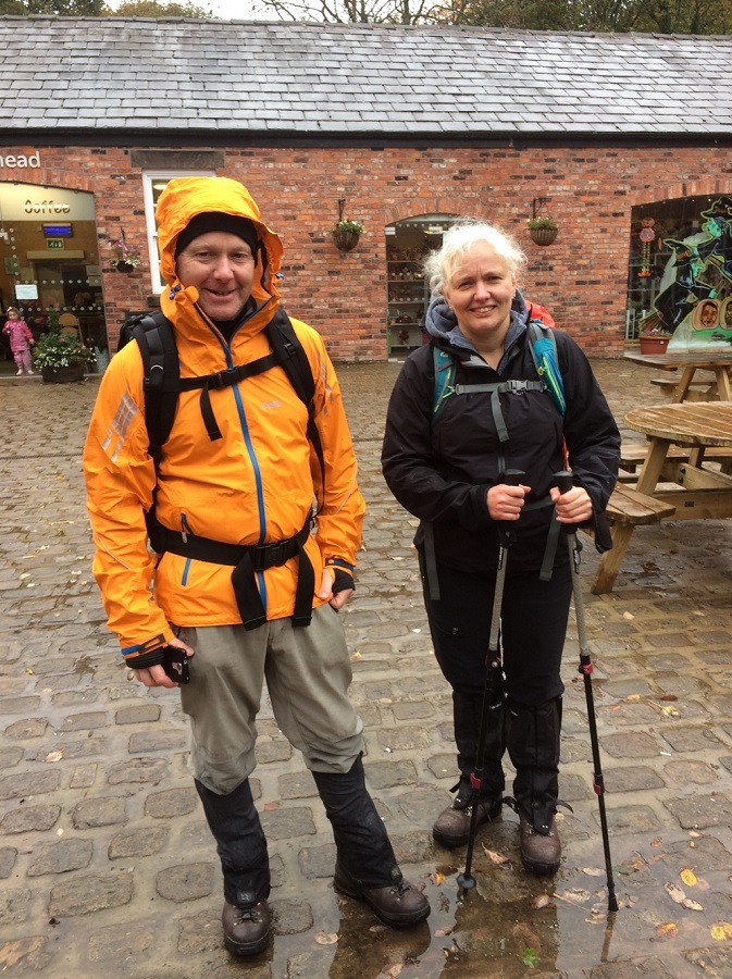
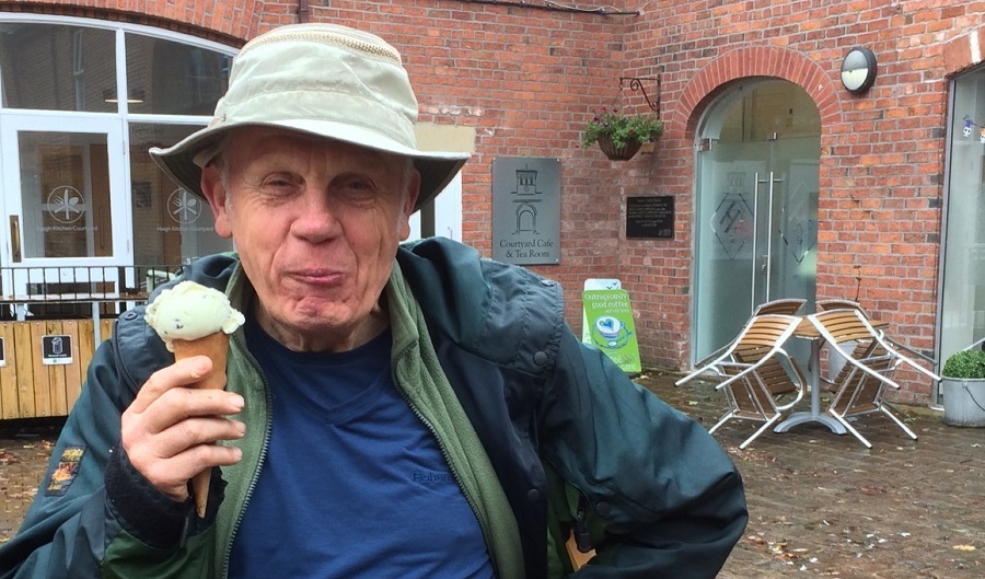
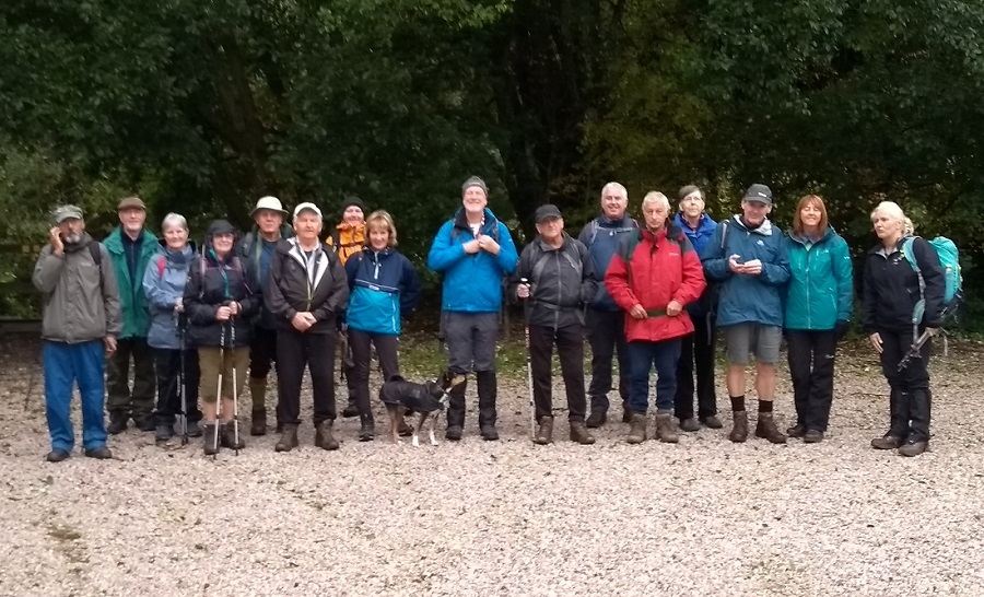
Norman Thomas, with Chris Langabeer, led a group of 18 plus one dog on this walk, on a day of light showers. From the car park on Mill Lane, Aspull, the route was NE on Dodd Lane, and then NW on Code Lane to Brinsop Hall, then W to Stanley Nook Farm, Toddington Farm, Holly Nook and Haigh Hall for lunch, and ice cream for some. After lunch, the route continued along Sennicar Lane and then N alongside the Leeds- Liverpool Canal to Wigan Golf Club, before returning S alongside the canal to Top Lock and on to America Wood, Borsdane Wood and Dodds Farm, continuing along Dodd Lane, Code Lane, Cinder Hill, Brinsop Hall and back to the start, and the Gerrard Arms.
Sunday 7 October - The Village Link (Strenuous: 18 miles)
Barbara Shelton led a group of 4 on this walk. From Ramsbottom Nuttall Park, the route took in Holcombe Village, Peel Tower, Hawkshaw, Affetside, Ainsworth, Greenmount & Nangreaves. More information about the route can be found at www.village-link.com.
Click for Closeup




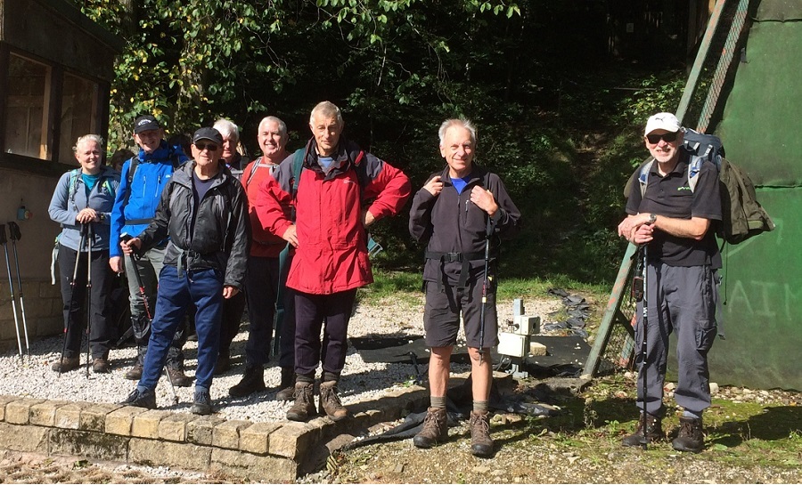
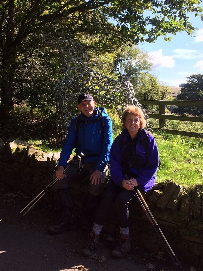
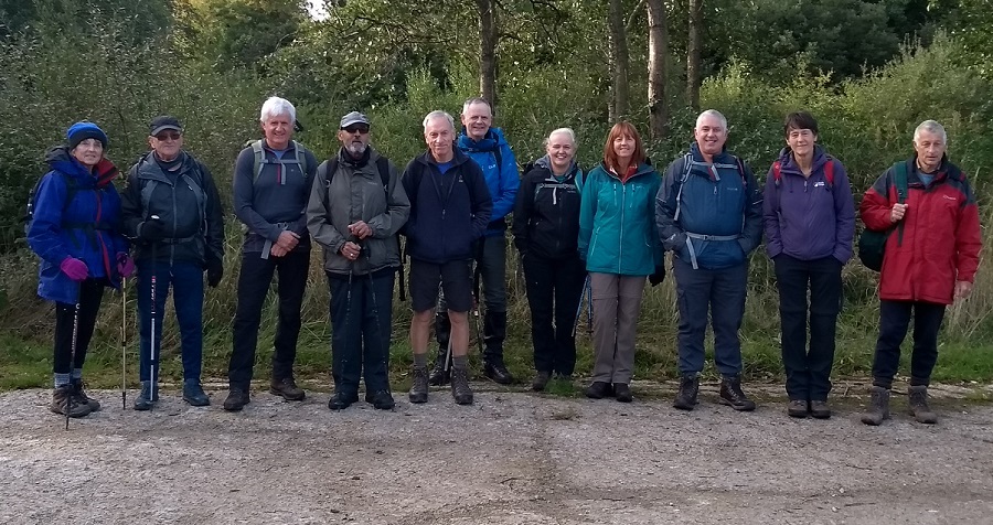
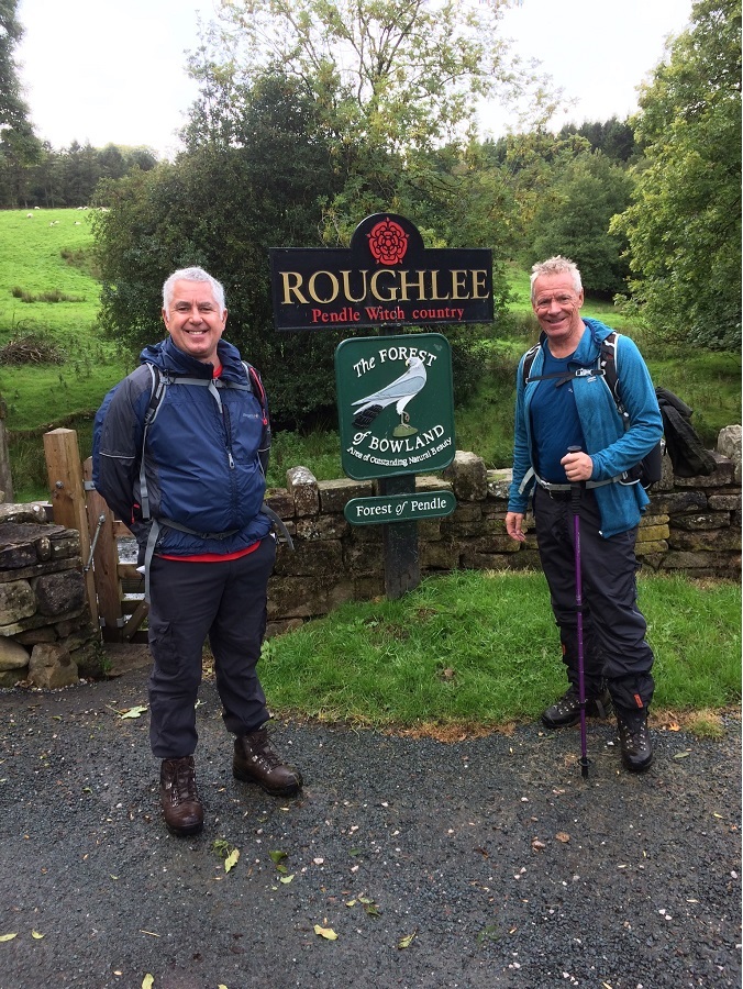




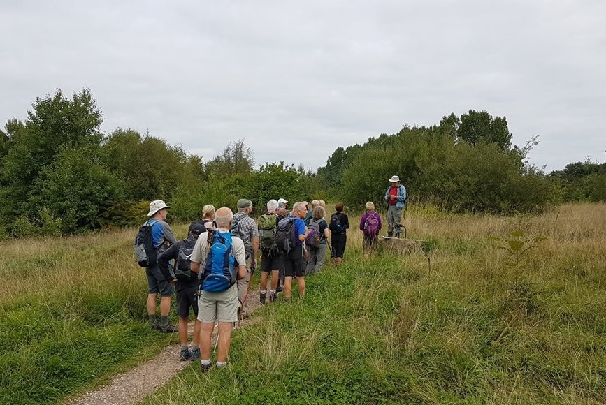
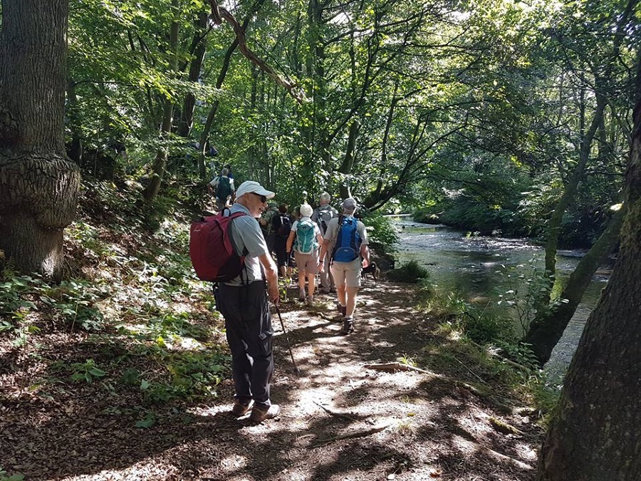


Sunday 30 September - Bromley Cross (Moderate: 9 miles)
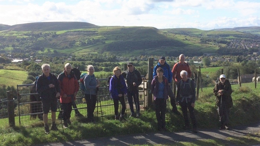
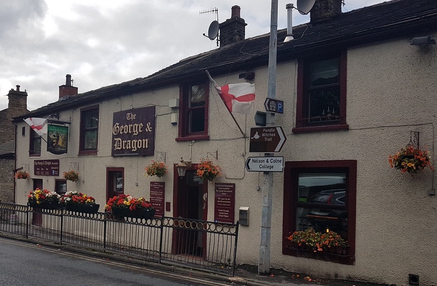
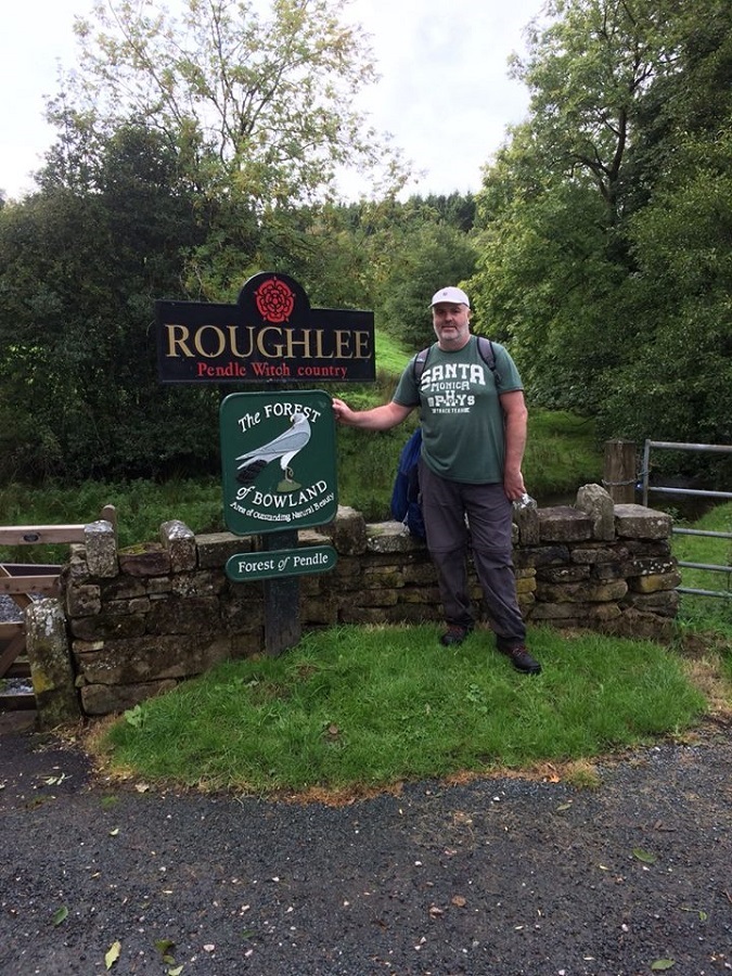
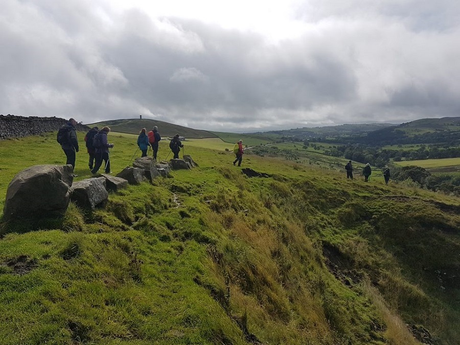
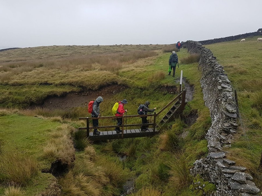
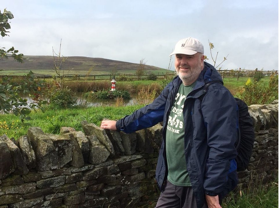
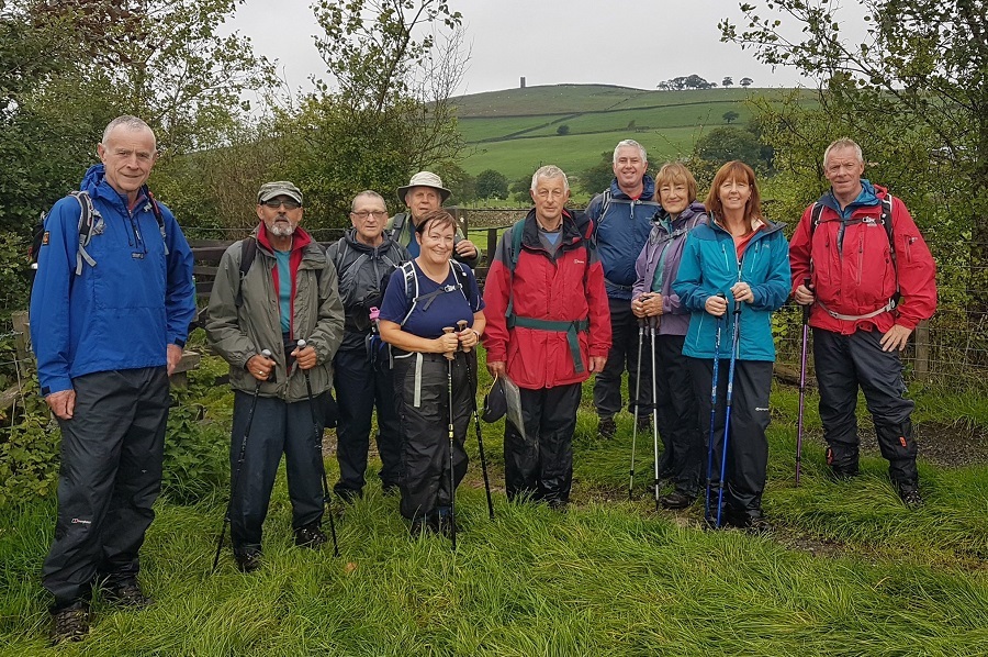
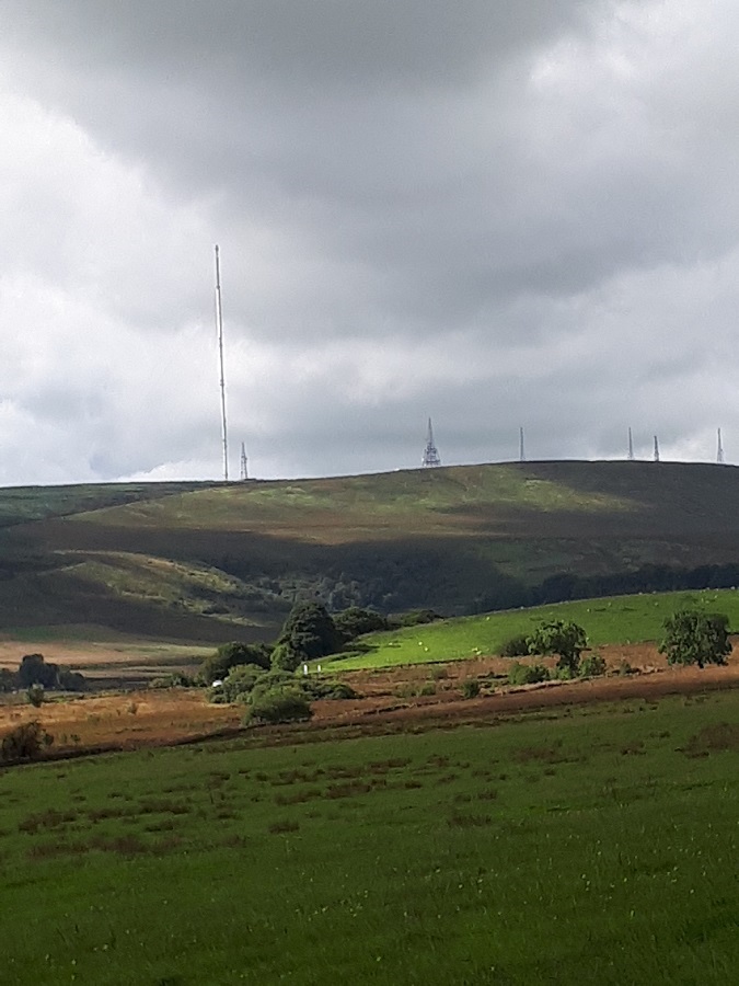
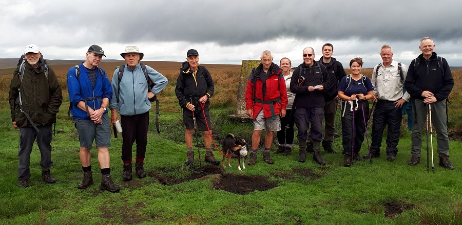
Barbara McCormack led a group of 15 on this walk on a dry, windy and cool day. From Ousel Nest Car Park, Bromley Cross (near Jumbles Reservoir), the route took in Range Road, Torra Barn, Turton Bridge, Witton Weavers Way, Turton & Entwistle Reservoir, Cheetham Close and Turton Tower.
Most finished off the afternoon at the King William.
Sunday 23 September - Height End (Mod/Stren: 12 miles)
Ed Husband led a group of 12 on this walk, on a fine day.
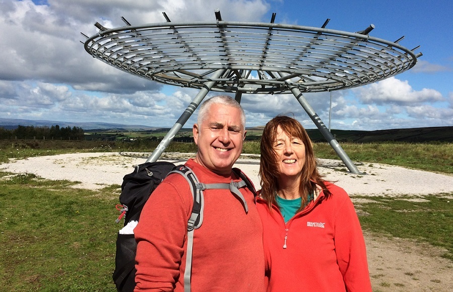
From Clowbridge Reservoir car park, the route was to Meadow Head, Chamber Height Barn, Peersclough Farm and Lumb, for a morning break. From Lumb the route was via Higher Walls, Wheat Head, The Height, Meadow Head Lodge, and Chapel Hill Farm, to Rawtenstall. From Rawtenstall, the route was uphill to the top of the ski slope, and then along the Shoe Trail to Height End and the Panopticon Sculpture for lunch. After lunch, the route continued past Cribden Side and Needless to Goodshaw Hill, for an afternoon break, and then on to Hameldon Hill, and finally downhill, back to the start, and the Whitchaff.
Sunday 16 September - Higherford & Howgill (Moderate: 11 miles)
Jim Byrom led a group of 11 on this walk. From the photos, it seems possible that some rain was encountered from time to time. The walk started from the Pendle Heritage Centre car park at Barrowford. It took in Barrowford Bridge, Higherford, Blacko Hill Side, Weets House Farm, the Pennine Bridleway, Howgill Village, Martin Top, Bale Hill and Admergill, before returning to the start at Barrowford.
Sunday 16 September - Lead Mines Clough (Welcome Walk: 5-6 miles)
Just one person turned up to accompany Mike Minett on the walk, which went ahead regardless. The walk started from Rivington Lower Barn car park, passing Rivington and Yarrow reservoirs and then climbed through Lead Mines Clough, past the Wellington bomber war memorial, before returning to Rivington.
Sunday 9 September - Above Jumbles, Wayoh & Entwistle (Mod/Stren: 15 miles)
Chris Makin led a group of 12 (plus one dog) on this walk, on a day which was mainly dry with a mixture of sunshine and cloud. From Jumbles, the route was round the south and west of the reservoir to Horrobin Lodge and then west to Cheetham Close, continuing west to Dimple and north-west to Higher Pasture Barn Farm, and then back east along the Witton Weaver’s Way to Green Lowe and Top o’ th’ Brow. The walk continued to Cadshaw, and after a short stretch south on the A666, east alongside Turton and Entwistle Reservoir, past the Strawbury Duck, and then south along the east side of Wayoh Reservoir, and finally continuing south to Turton Bottoms and back to Jumbles, and the Pack Horse.
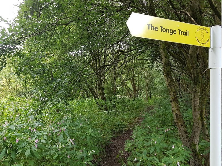
Sunday 2 September - The Tonge Trail (Moderate: 9 miles)
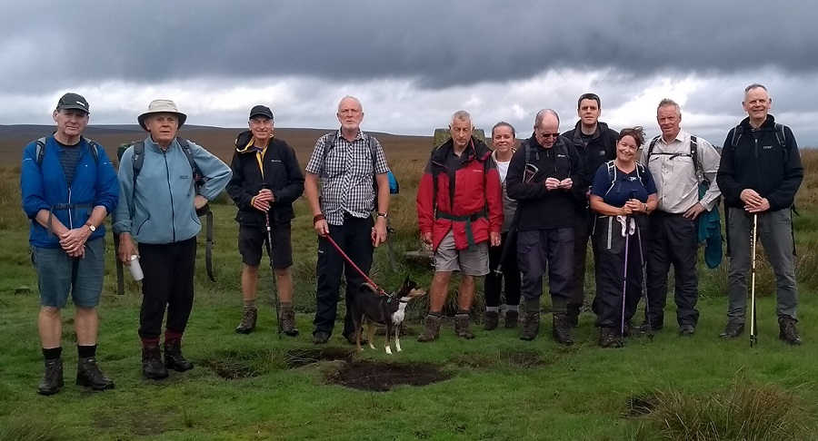
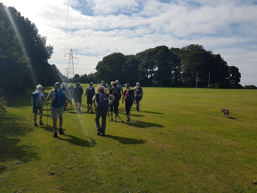
John Clements led a group of 23 on this walk. The weather was warm and sunny.
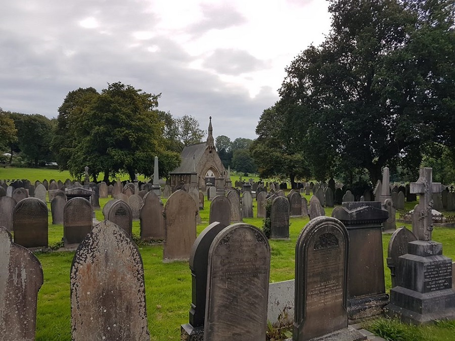
The group took the 471 bus from Bury Interchange to Oakenbottom Road. The walk took the group through Bolton’s industrial heritage, taking in Samuel Crompton’s birthplace, Tonge Cemetery [Grade 2 listed], Hall i’th Wood, underlining Bolton's important contribution to the Industrial Revolution. The route mainly followed Eagley Brook and Bradshaw Brook. At the end of the walk, the group took a full 471 bus back to Bury Interchange, and the Trackside Bar.
Click for Closeup


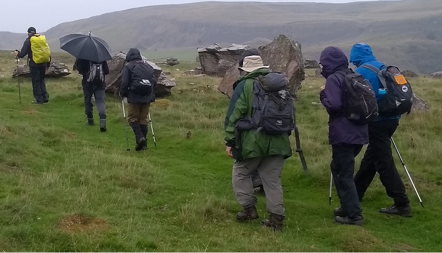

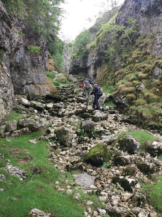




Sunday 26 August - Austwick & Moughton (Mod/Stren: 12 miles)
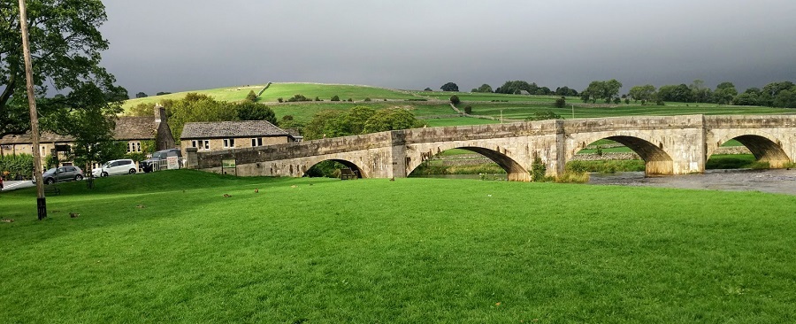
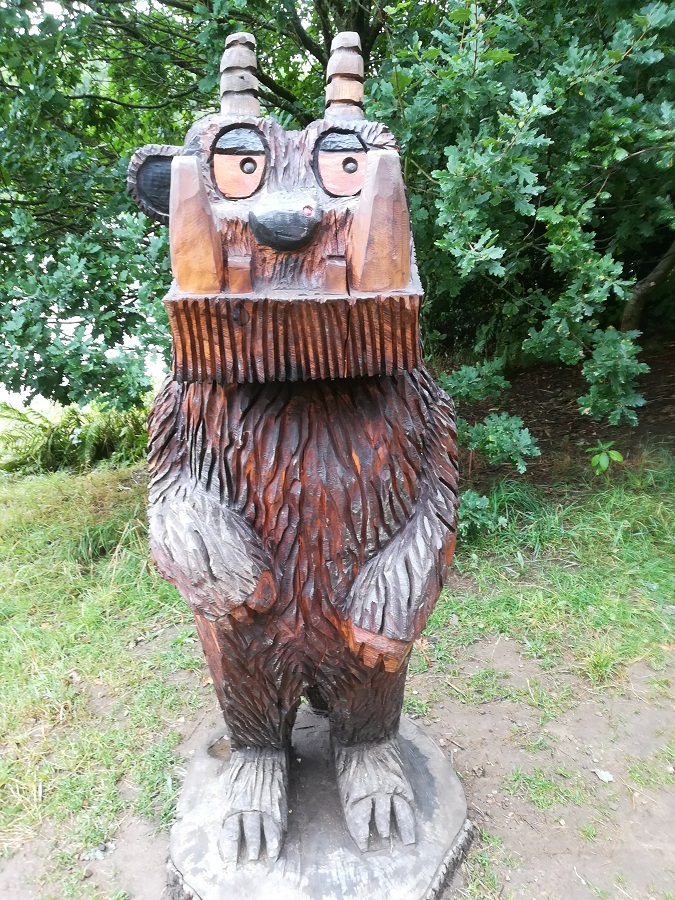
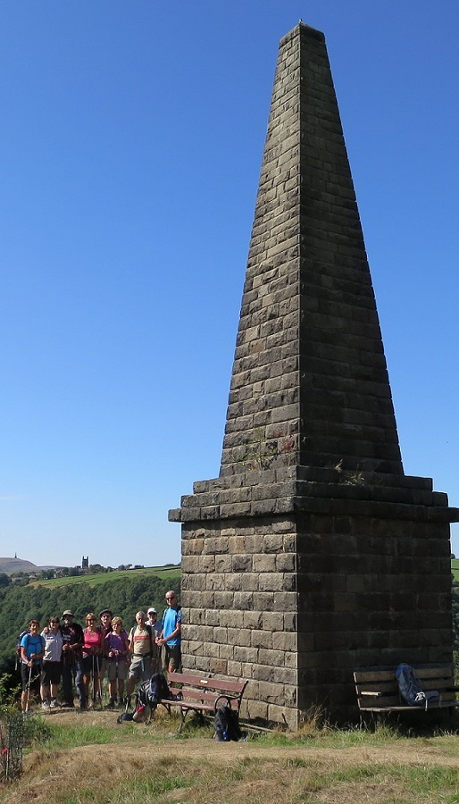
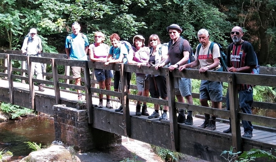
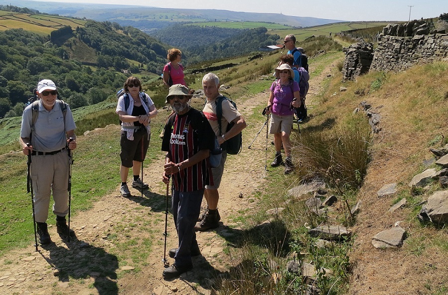
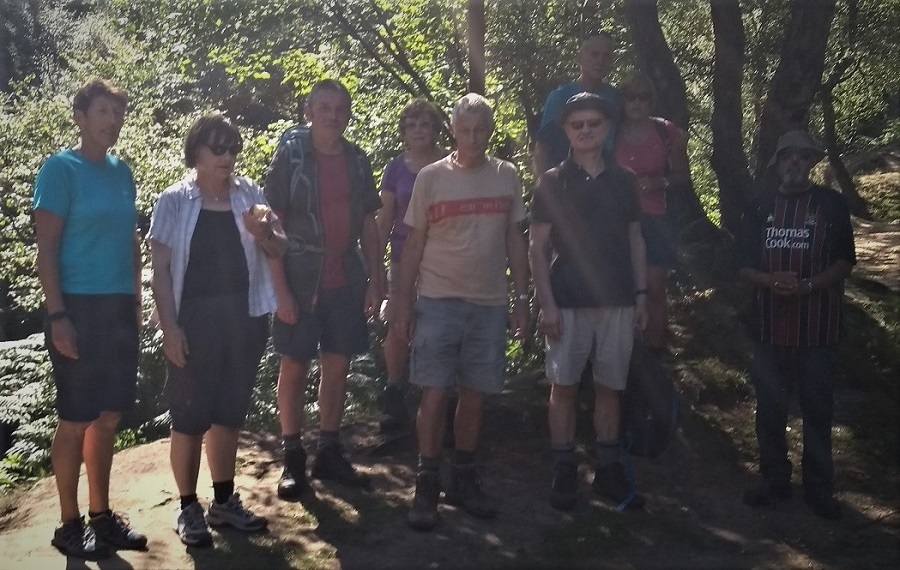
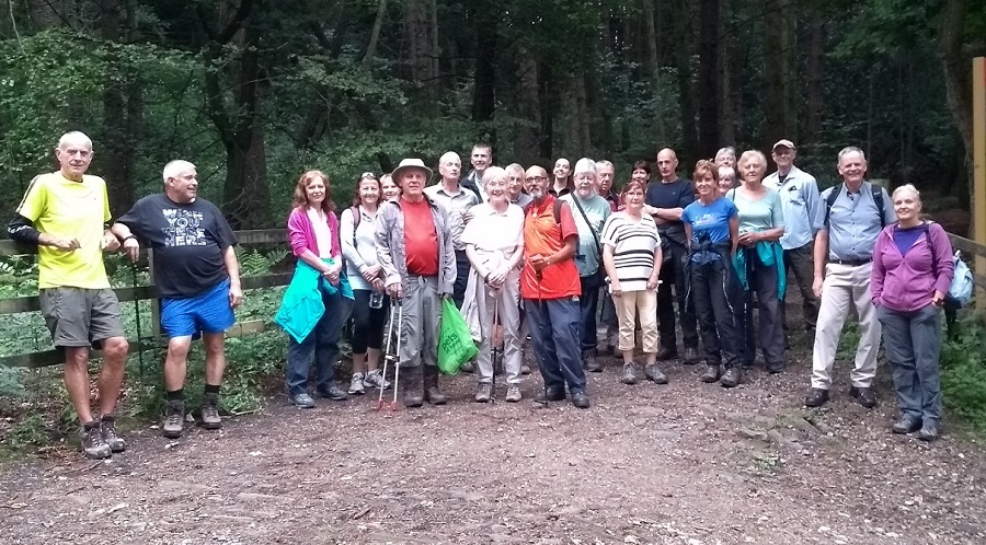
Malcolm Chester led a group of 9 on this walk, in horrible weather with heavy rain for all of the morning and some of the afternoon. Malcolm modified the walk to avoid limestone pavements, which would have been dangerous in the wet conditions. The intended route was from Austwick on Graystober Lane, going through the village and on to Norber, and then continuing to Long Scar and Nick Pot. From there it was to proceed by way of Moughton Scars (or Sulber Nick) to Wharfe. Finally the route back to Austwick is via Feizor. For the actual route on the day, click here to view. The group finished off the afternoon in the Game Cock.
Sunday 19 August - Trollers Gill & Grimwith Reservoir (Mod/Stren: 13 miles)
Ian Pickup led a group of seven on this walk. There was persistent rain for most of the day, mainly not heavy. It was warm apart from the windy exposed stretches. From Burnsall, the route was south-east alongside the Wharfe, which unlike most stretches of water recently was full. Leaving the Wharfe at Stangs Lane, the route was north to Skyreholme, Parceval Hall and Trollers Gill, joining the road west of Stumps Cross Caverns. After walking along the road for a short stretch, the route was north-west to Grimwith Reservoir and then walking round the east, north and then west side of the reservoir, continuing south-west, down Hartlington Moor Lane and Hartlington Raikes, and finally west back over Burnsall Bridge into Burnsall, and the Red Lion.
Sunday 12 August - The Kingfisher Trail (Moderate: 9 miles)
Jim Ashton led a group of 14 on this walk. There was a bit of rain but not too much.
The route is part of the 14 mile Kingfisher Trail, and was able to be walked without the use of cars, by taking the metrolink tram from Bury to Prestwich at the start, and at the end, the 471 bus from Breightmet back to Bury. From Prestwich the route was to Philips Park, Clifton Country Park, Ringley Bridge, Moses Gate Country Park, Darcy Lever and Leverhulme Park. The walk was on good paths, and there were few stiles. It finished at Breightmet.
Having returned to Bury, most of the group finished off the afternoon at the Trackside Bar.
Sunday 5 August - Hardcastle Crags & Wadsworth Moor (Moderate: 11 miles)
Ray Bangbala led a group of 10 on this walk on a hot, dry day.
From the National Trust car park at New Bridge, north of Hebden Bridge, the route was east and then north to Gib Slack and then west to Lumb Hole Waterfall, Nook and Goppy, and along the Calder/ Aire Link to Walshaw. The route was then north on Dean Gate to Walshaw Dean Middle Reservoir, and alongside Walshaw Dean Lower Reservoir on the Pennine Way. After crossing the dam, the route was south through Holme Ends to Black Dean, Over Wood and Gibson Mill and finally back to the start, and the excellent Blue Pig.
To view the route on OS Maps click here.
Wednesday 1 August - North West Edgworth (5 miles)
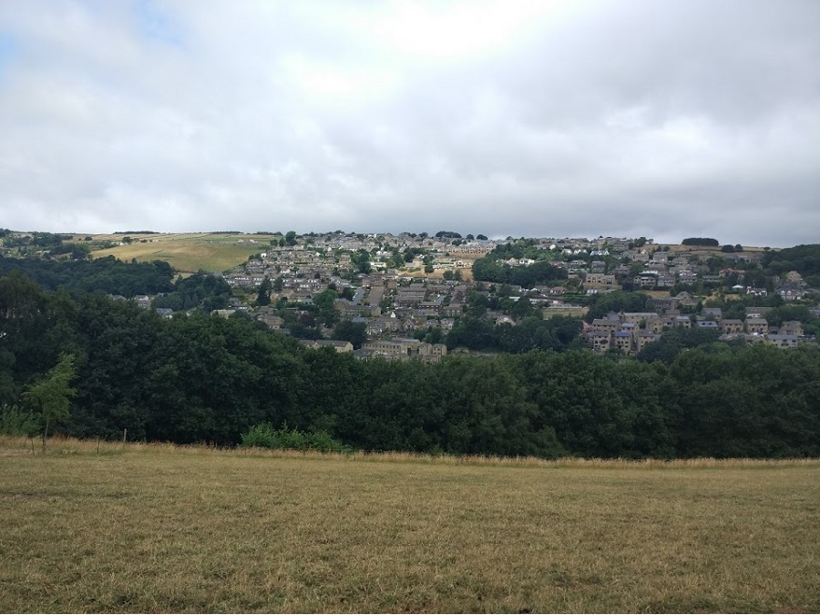
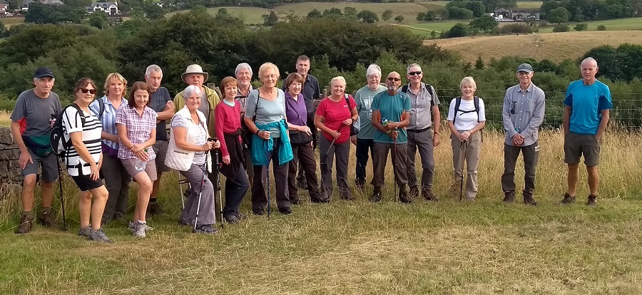
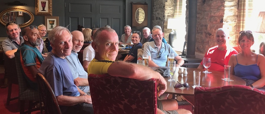
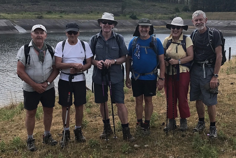
Dave Armstrong led a group of 25 on this, the last of the summer evening walks, on a fine evening. The route was circular and anti-clockwise around Wayoh Reservoir and the surrounding countryside. Everyone was aware that there had been little rain over the past weeks, but it was still a shock to see the state of the reservoirs. The group finished off the evening in the White Horse.
Click for Closeup








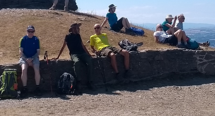

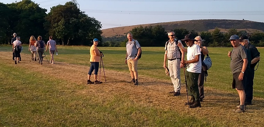

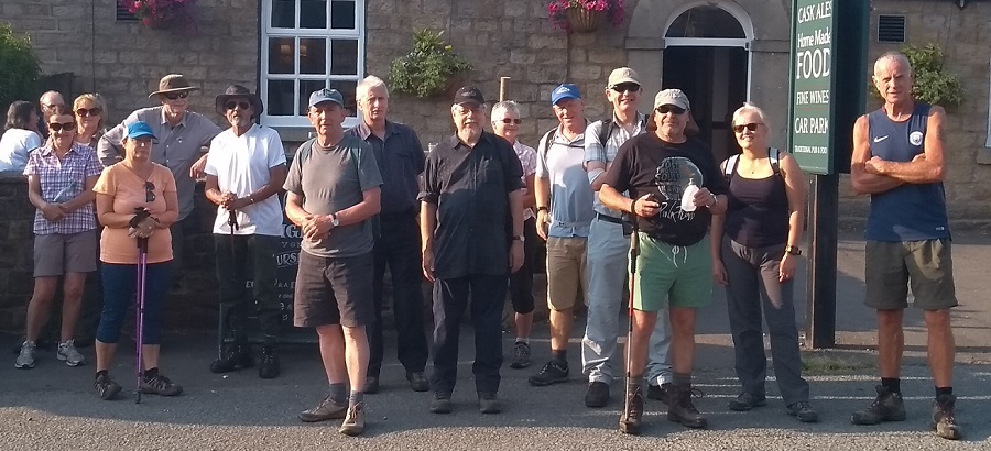
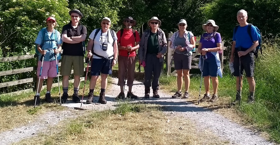
Sunday 29 July - Roby Mill (Easy: 8 miles)
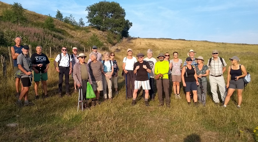
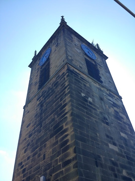
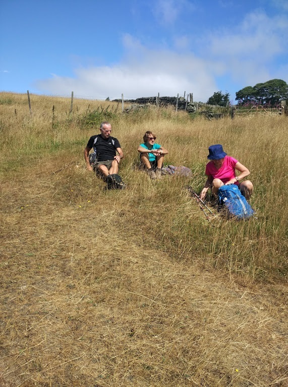
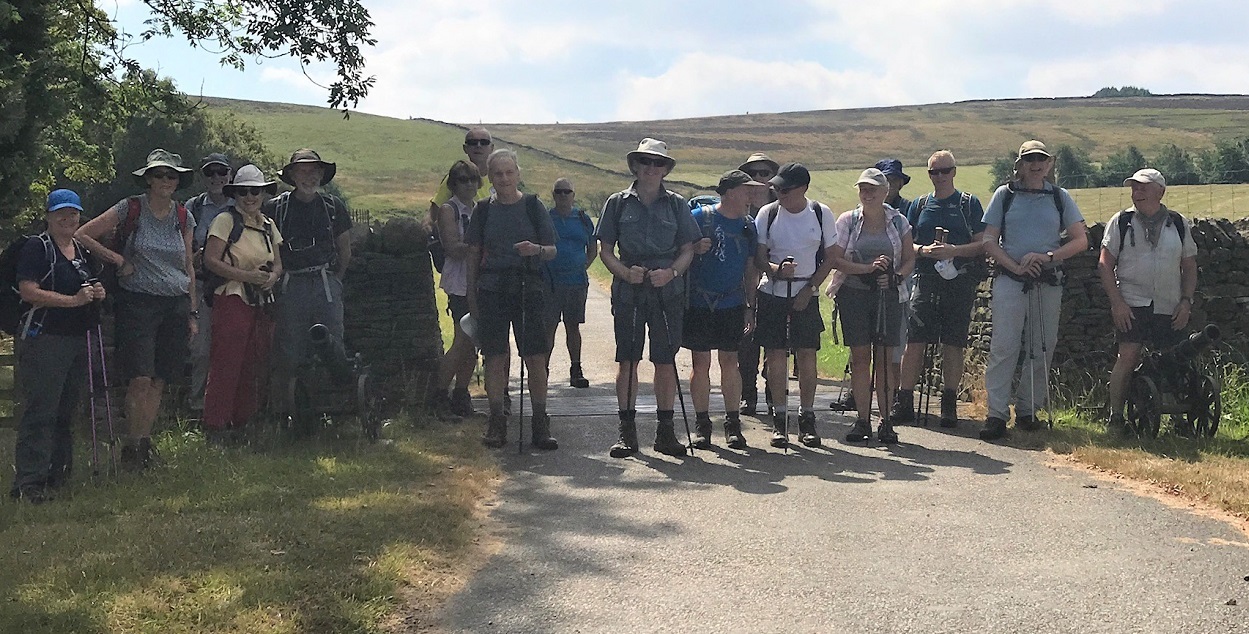
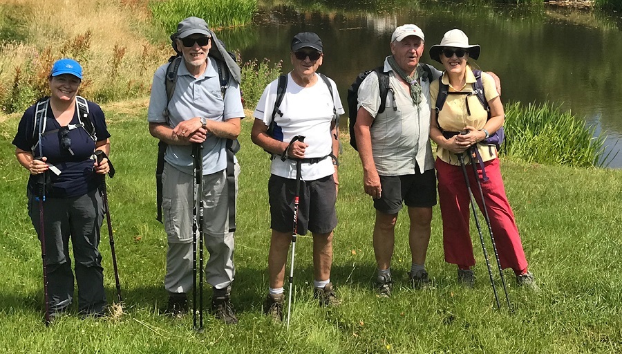
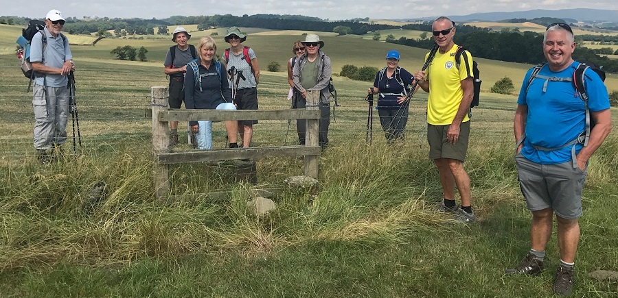
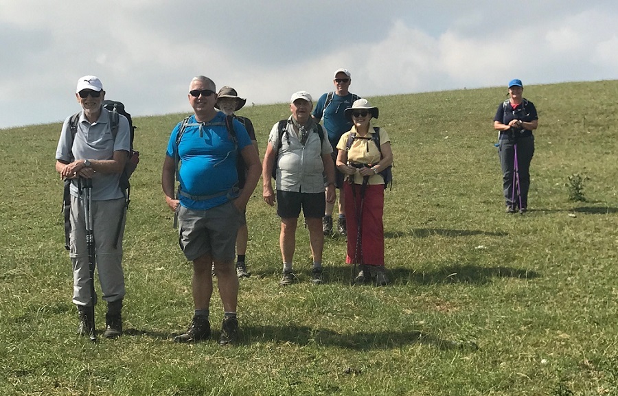
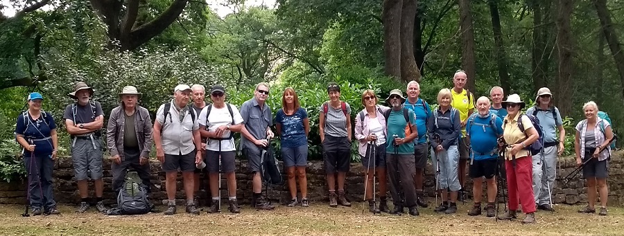
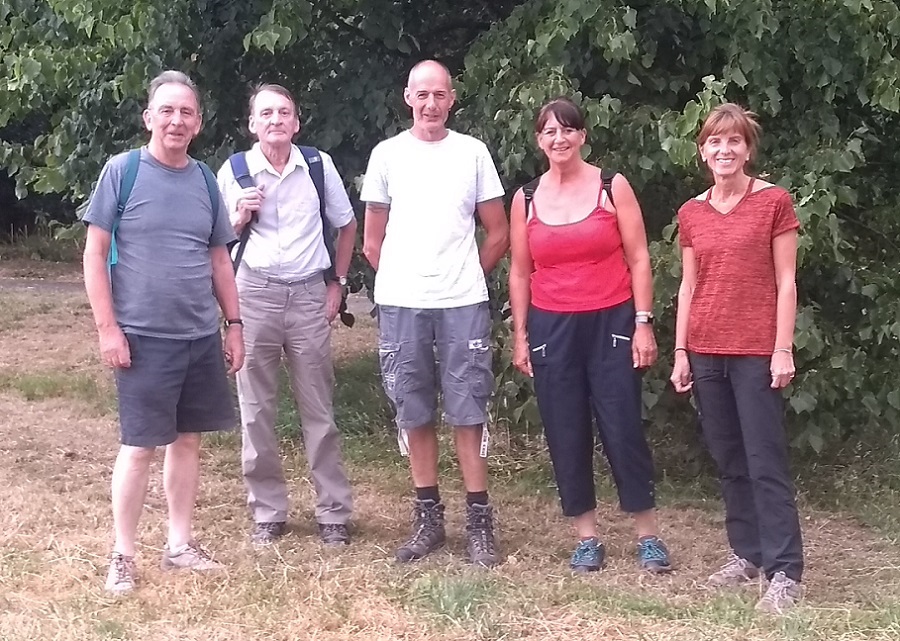
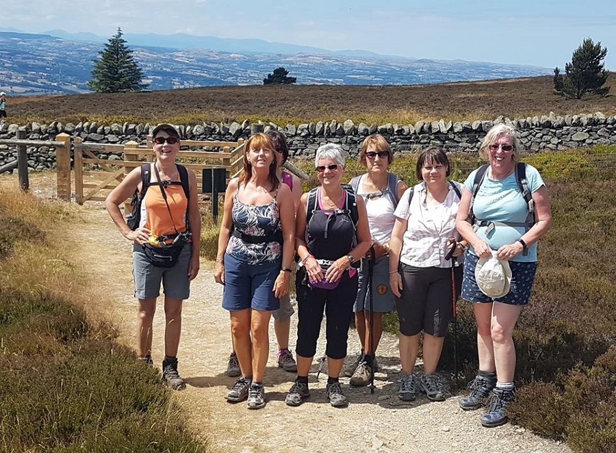
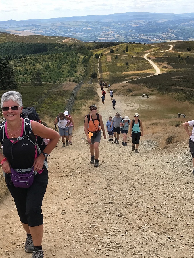
Barbara McCormack led a group of 8 on this walk. There was heavy rain at first, but this cleared up in the afternoon.
From Roby Mill, the route was downhill, east to Bank Top and Gathurst, then north along the Leeds-Liverpool Canal and River Douglas to Appley Bridge. The route was then west past Martin’s Farm and Ashleigh Farm to Ashurst Beacon for lunch. After lunch the route was SE on Beacon Lane and NE back to the start, and the Fox Inn.
Wednesday 25 July - Nangreaves Flyer 2 (5 miles)
Ray Bangbala led a group of 23 on this walk on a hot evening. From the former Lord Raglan Public House in Nangreaves, the route was north on Bury Old Road, then east across Harden Moor towards Cheesden Bridge. The route was then south to Buckhurst Brow, and finally west, to re-join Bury Old Road and walk south back to the start. As the Lord Raglan is now closed, most of the group finished off the evening at the Hark-to-Dandler.
Sunday 22 July - Holmfirth (Moderate: 11 miles)
Chris Hayes and Kepa Kinsler led a group of 12 on this walk, on a fine day. The route took in Upperthong, River Holme, Cartworth and Harden Clough.
Wednesday 18 July - Redisher Edge (5 miles)
Dave Armstrong led a group of 20 on this walk on a fine summer evening. From the car park on Lumb Carr Road, the route was to Hey House, and then to Redisher Wood, continuing along Redisher Edge, with woodland to the left sloping sharply down. The walk continued to the Moorbottom Road, and then up to Holcombe Moor, before descending to Holcombe Village and the Shoulder of Mutton, a pub dating from 1751.
Sunday 15 July - Broughton Hall, Carleton Park & Elslack (Mod/Stren: 11 miles)
Chris Langabeer led a group of 20 on this walk on a very hot, sunny day. Chris cut down the walk to 11 miles from the advertised 12-13 miles because of the heat.
From just north of Broughton Hall, next to the A59, the route was SE to Carleton-in-Craven, then S to Carleton Park. (Carleton Park shooting lodge has a website, which states that guns are hung on pegs during lunch, so we did not hang about there). The route continued S to Tewit Cote, NW to Lower Scarcliff, W to White House Farm and S to Elslack Reservoir, arguably one of the most picturesque in the Dales. The route was then W to Cooper House, N to Elslack Hall and back to the start, and the Tempest Arms.
Wednesday 11 July - Tottington Circular (5 miles)
On the day that England made an honourable exit to the World Cup, after a magnificent run to the semi-finals, few decided instead to go on the evening walk, but those who did at least avoided watching the painful defeat. On a fine evening, Peter Rowley led a group of 6 from Tottington, taking in Two Brooks Valley, Hawkshaw, Holly Mount, Greenmount and back to Tottington.
Sunday 8 July - Coach Trip - Clwydian Hills
Thanks to Peter Rowley for organising this coach trip, and to Alan Pilling, Stuart Wild and Barbara McCormack for leading the walks.
The weather was hot, dry and sunny.
Alan's group was dropped off first near Bodfari for the strenuous walk, and then the coach continued to Loggerheads Country park to drop off the moderate group of walkers, led by Stuart, and the easy group of walkers, led by Barbara. The strenuous and moderate walkers met near the summit of Moel Famau. Much of the strenuous walk took the group along the Offa's Dyke Path.
Wednesday 4 July - Hawkshaw and Holcombe (5 miles)
In another change to the printed programme, Dave Armstrong led a group of 16 plus one dog on this walk on a warm, dry evening. From Hawkshaw the route was south to Two Brooks Farm, then north to Sunny Top and New Hoyles, then west to Top of Quarlton and finally south-east back to the Waggon and Horses.
Sunday 1 July - Hurstwood Reservoir & Black Moor (Moderate: 9 miles)
Dave Capell led a group of 9 on this walk, on a hot, sunny day.
From Hurstwood, the route was east to Hurstwood Reservoir, then north alongside the eastern side of the reservoir to meet the Burnley Way/Pennine Bridleway which was taken east, past the Gorple Stones, to Widdop Reservoir. The route was then south to Gorple Lower Reservoir, and then west to Gorple Upper Reservoir and back to the Gorple Stones. The route was then south to Cant Clough Reservoir, and finally west on the Pennine Bridleway back to the start, and the Kettledrum Inn.
Click for Closeup






Wednesday 27 June - Robin Hood's Well (5 miles)
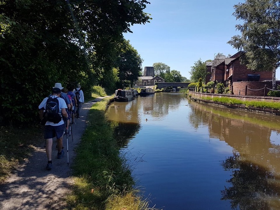
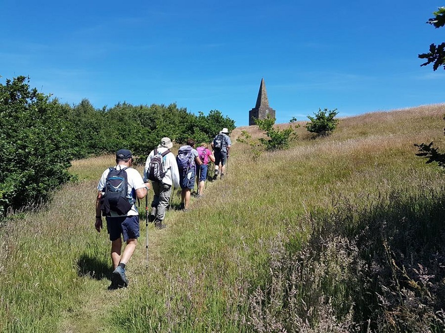
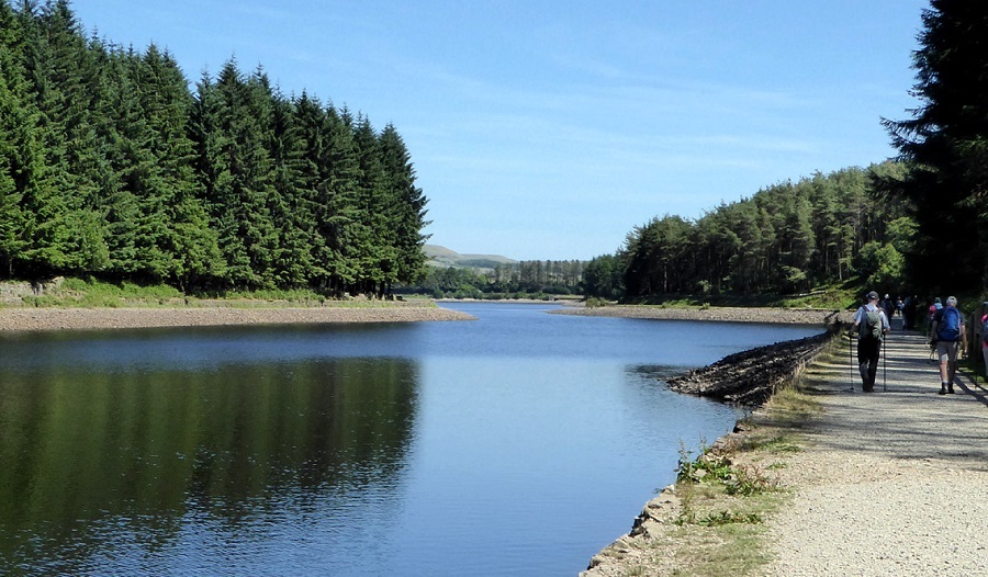
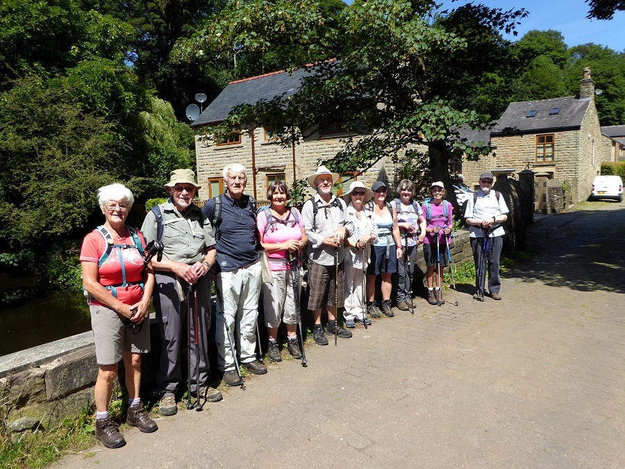
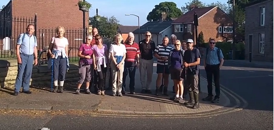
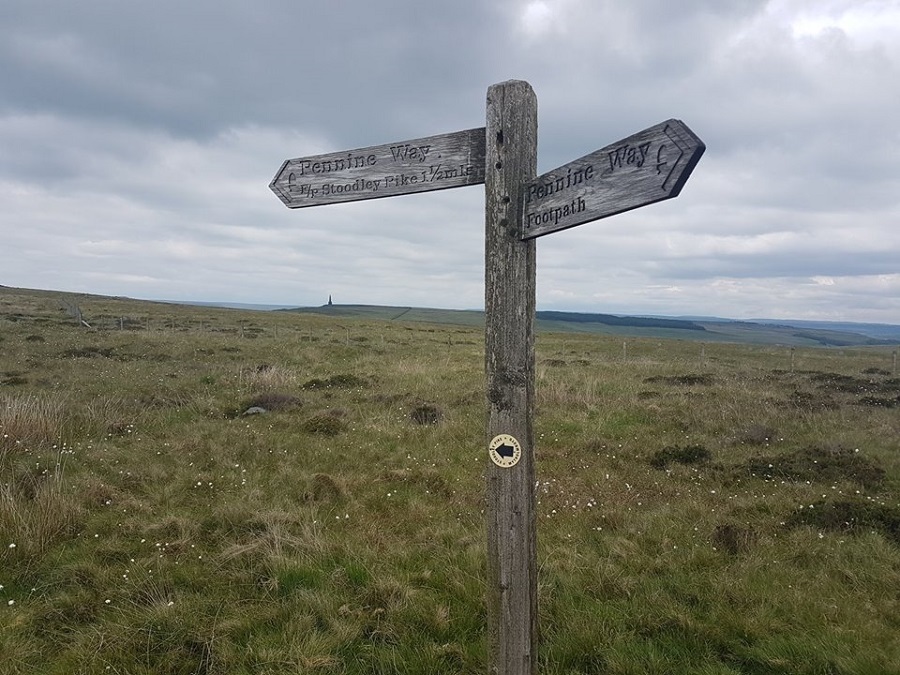
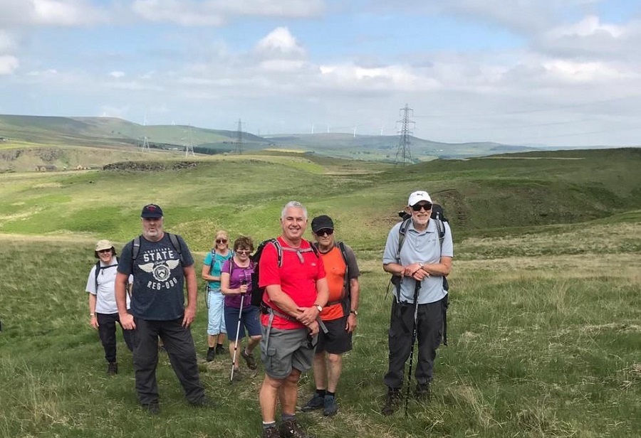
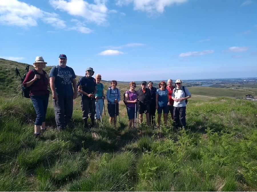
Ed Husband led a group of 18 on this walk on a fine evening. From the car park on Lumb Carr Road, the route was along Moorbottom Road above the firing range, climbing to Pilgrims Cross, continuing to Ellen Stange's Cairn, and descending to Robin Hood's Well. The return was along the Moor Road, back to the Shoulder of Mutton for after-walk drinks.
Sunday 24 June - Fairies & Pharoahs (Mod/Stren: 13 miles)
Norman Thomas (with Ian Pickup) led a group of 7 on this walk. The weather was sunny all day and it was very hot in the afternoon.
Sunday 24 June - Three Reservoirs (Moderate: 8 miles)
Reg Norris led a group of 11 (welcoming 3 new members) on a very hot and sunny day.
From Batridge Barn car park we went onto Witton Weavers Way then headed East onto Cheetham Close Trig Point, passing vandalised stone circle, then we descended to farm road to pass Turton Tower and onto Chapeltown Road. We crossed the road passing a WW2 pill box and also passing Jumbles Reservoir, then onto Turton Bottoms, where lunch was enjoyed in an Orchard with picnic benches. After lunch went onto Wayoh Reservoir, crossing this via Hob Lane to The Strawbury Duck, and finally round Entwistle Reservoir and back to the car park.
Some then went to Cross Guns Public House to rehydrate.
Wednesday 20 June - Shuttleworth and Bleakholt (5 miles)
Ed Husband led a group of 10 on this walk on a fine evening. This was different from the planned walk because of an injury to the leader of that walk. From Ramsbottom the route was north towards Stubbins along the Irwell, then east to Bleakholt, and south, above Fletcher Bank Quarry, and finally west, crossimg the A56 and descending via Jacob's Ladder into Nuttall Park. Most of the group finished off the evening in Irwell Works Brewery, where there was live entertainment.
Sunday 17 June - Ducky 3 (Easy: 6 miles)
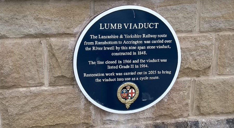
Brian Seaborne and Barbara McCormack led this walk on a fine but cloudy day. From the Duckworth Arms in Edenfield, the route was to Shuttleworth, past the now sadly closed St John in the Wilderness Church, and then along Bury Old Road past Bleakholt Animal Sanctuary, continuing along Dearden Clough and past Gin Croft Farm to Bank Side, and then west to Irwell Vale for lunch. After lunch, the route was initially north-west, and then south, along the former Stubbins to Accrington Railway and the newly refurbished Lumb Viaduct, south to Strongstry and Stubbins and finally east back to the start.
Wednesday 13 June - Hollins Vale (5 miles)
John Talbot led a group of 18 on this walk on a fine evening, although rain was forecast for later.
The route was circular from the Queen Anne in Unsworth, and most of the group finished off the evening in the Queen Anne, when the rain finally arrived, too late to cause any problems.
Sunday 10 June - North Yorkshire Circular 2 (Mod/Stren: 13 miles)
Alan Pilling led a group of 12 on this walk, on a mainly sunny and very warm day, but with thundery showers arriving just as the walk was ending. From Stainforth, the route was west along the Dales High Way to Feizor, and then north to Austwick Beck Head, and then east and north to Sulber Nick. There was then a descent into Horton-in-Ribblesdale and then a walk south, mainly alongside the Ribble, to Helwith Bridge. Finally, there was an ascent eastward along Moor Head Lane, and, as the rain started to threaten and finally arrive, a hurried downhill walk south on the Ribble Way back into Stainforth.
Wednesday 6 June - Tottington & Greenmount (5 miles)
Dorothy France led a group of 14 on this walk, in fine, warm, sunny weather. From Totttington, the route was initially to Holly Mount, continuing to Two Brooks Valley and circling round to join the Kirklees Trail, and eventually back to Tottington, and the excellent Dungeon Inn.
Sunday 3 June - Whiteholme & Warland (Moderate: 11 miles)
Ed Husband led a group of 12 on this walk on a fine, sunny day. From the White House on the A58, the route was initially downhill to Castle Clough and Lower Chelburn Reservoir, for the only ascent of the day to the Pennine Way at Utley Edge.
From there, the route was to the East of Warland Reservoir, and then, along the Reservoir Circuit around Whiteholme Reservoir.
Finally the Pennine Way was taken back to the start.
Click for Closeup




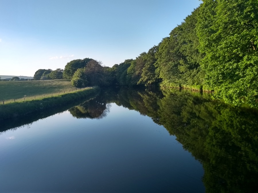

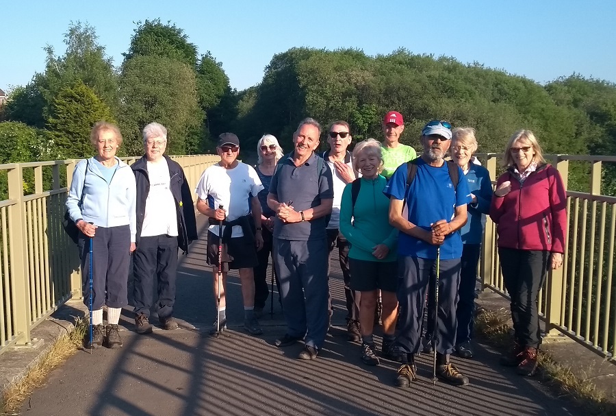
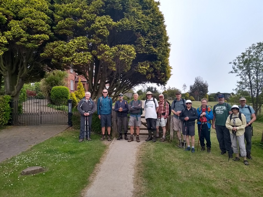
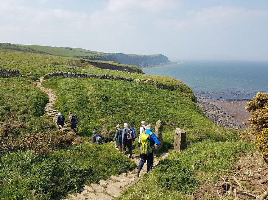

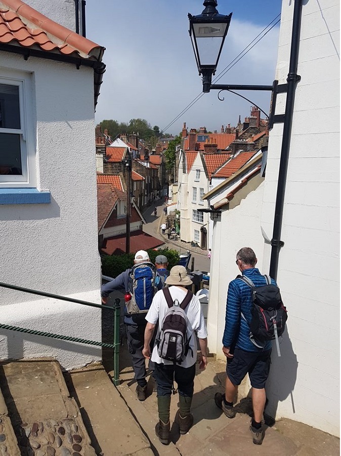
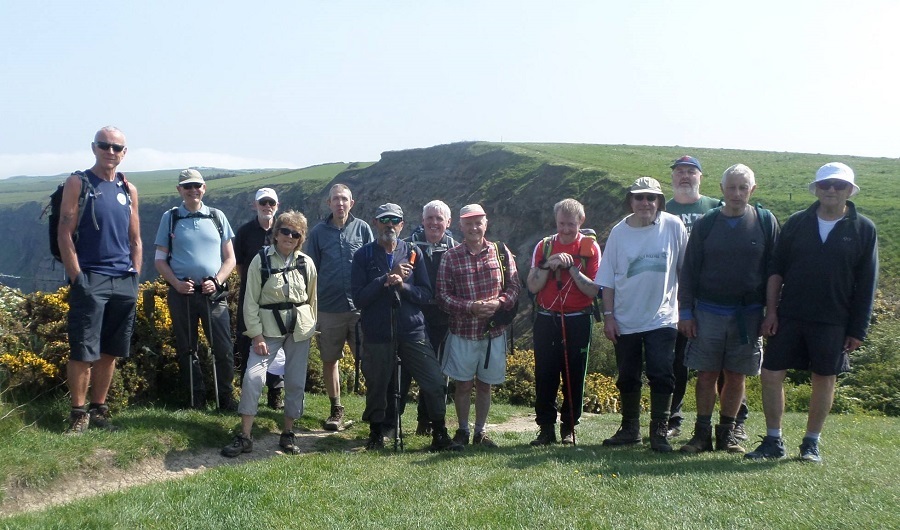

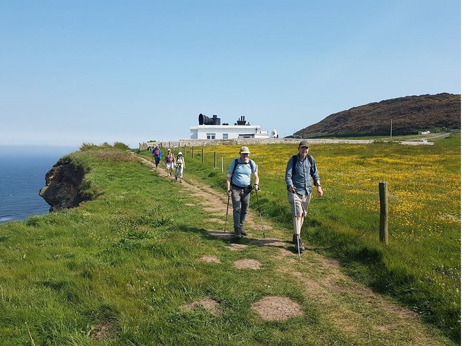
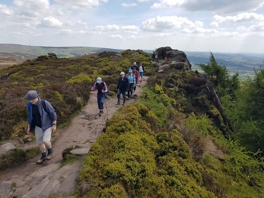
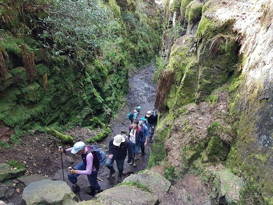
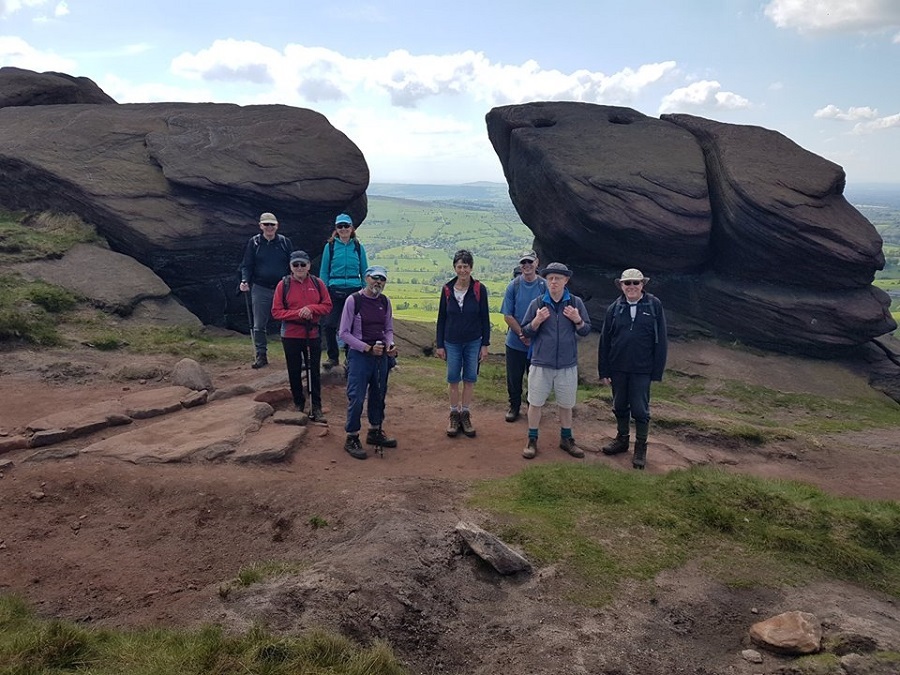
Wednesday 30 May - Ramsbottom - The Wild Garlic Valley (5 miles)
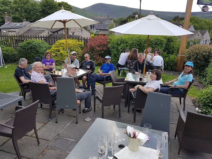
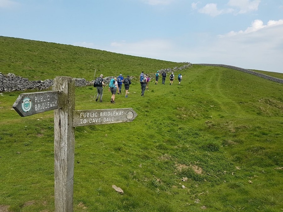
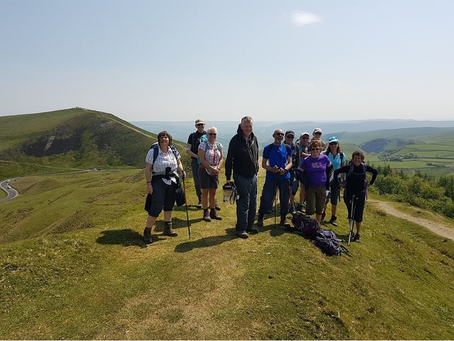
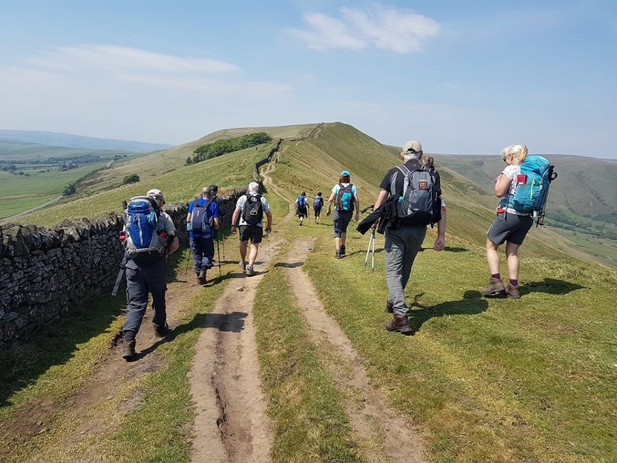
Ed Husband led a group of 20 on this walk, on a fine evening. From Ramsbottom, the route was through Nuttall Park and on paths to Holcombe Brook, climbing to the Moorbottom Road and descending on the footpath alongside the Shoulder of Mutton back to Ramsbottom, and for some, the Irwell Works Brewery.
Sunday 27 May - Lord’s Seat & Eldon Hill (Mod/Stren: 11 miles)
John Talbot led a group of 12 on this walk on a fine, sunny, breezy day.
Initially the route was uphill out of Castleton, passing Peak, Treak Cliff and Blue John Caverns, onto Rushup Edge, and its highest point, Lord’s Seat. It continued along the ridge, and then through quiet lanes, before the next climb, among rocky outcrops, up the flanks of Eldon Hill. Finally there was a descent back into Castleton, for drinks or ice creams.
Wednesday 23 May - Two Valleys Walk
Peter Rowley led a group of 13 on this walk, in fine weather. From Woolfold, the route took in the Kirklees Trail, Burrs Country Park, the Irwell Sculpture Trail, Summerseat, and then heading west to rejoin the Kirklees Trail back to the start.
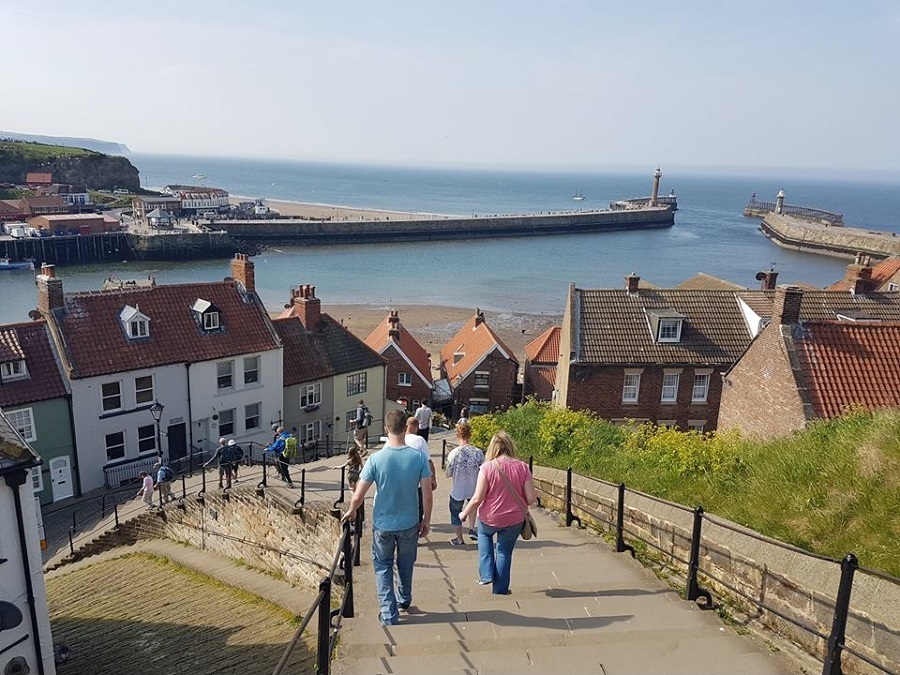
Sunday 20 May - Whitby Coach
The coach was full, and it was a warm sunny day, for the visit to Whitby. The planned walks were to be 13-mile, led by Mike Minett, 10-mile led by Ed Husband, and 7-mile, led by Peter Rowley.
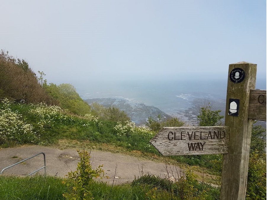
The 13 and 10 mile walks were both linear, dropping off on the A171, heading east to the coast and then north on the Cleveland Way to Whitby.
However, long delays on the outbound coach journey meant that there was insufficient time for the longer walk, so just the 7 and 10 mile walks could be held.
The groups met up in Whitby for exploration of the town, and maybe some fish and chips, an ice cream, and possibly a pint of beer, before the journey back to Bury.
Sunday 13 May - Flash in the Pan (Mod/Stren: 12 miles)
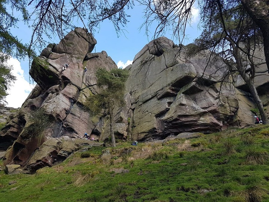
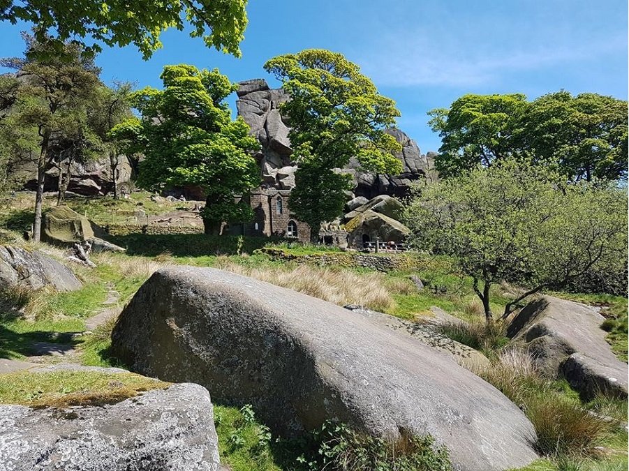
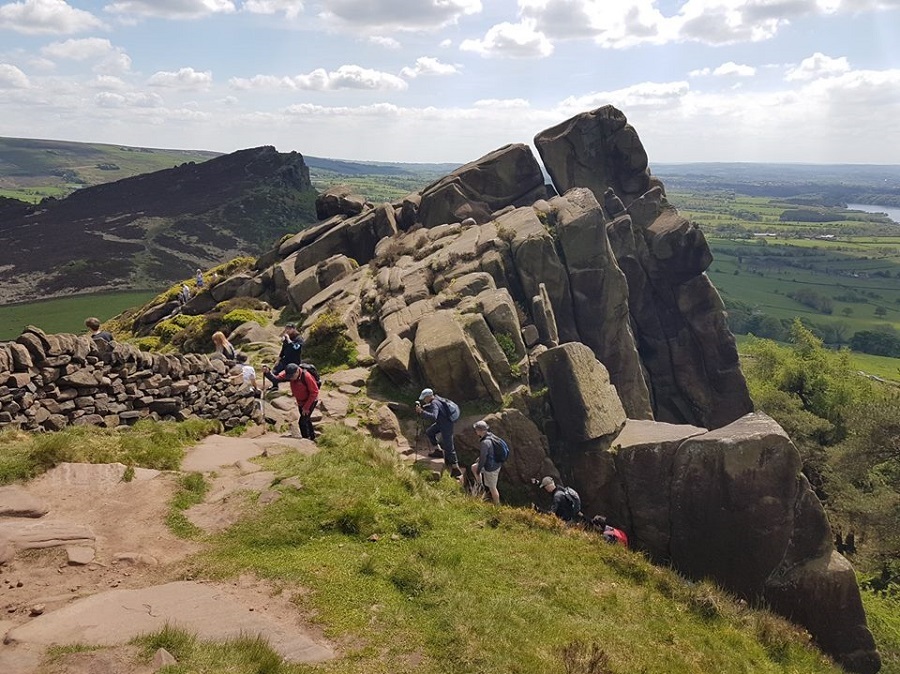
Stuart Wild led a group of 9 on this walk. The walk started from the Gradback car park next to the River Dane. Heading north-east, we followed the river, and then there was a steep climb up to Flash via a few farms & valleys. Then the route was south, towards Hen Cloud, through the Nature Brook Reserve. Then, heading north, we stopped for lunch at the base of the Roaches, next to the Don Whillans Memorial Hut. Next was a climb up the Roaches and heading north-west towards Bearstone Rock, with views of the Hangingstone Rock. Then, a walk through Lud's Church, & finally heading east, dropping back to the car park.
Sunday 6 May - No Walk
This was a blank week as no walk was submitted.
Click for Closeup


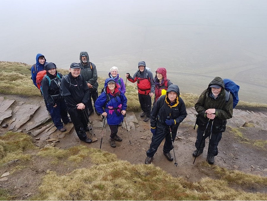


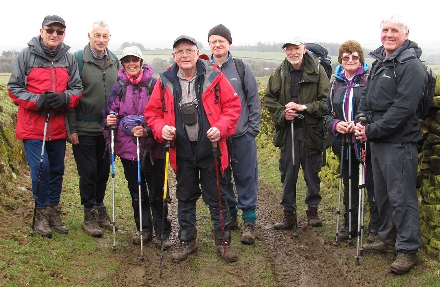

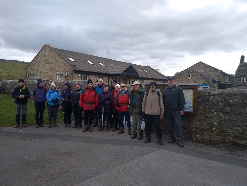

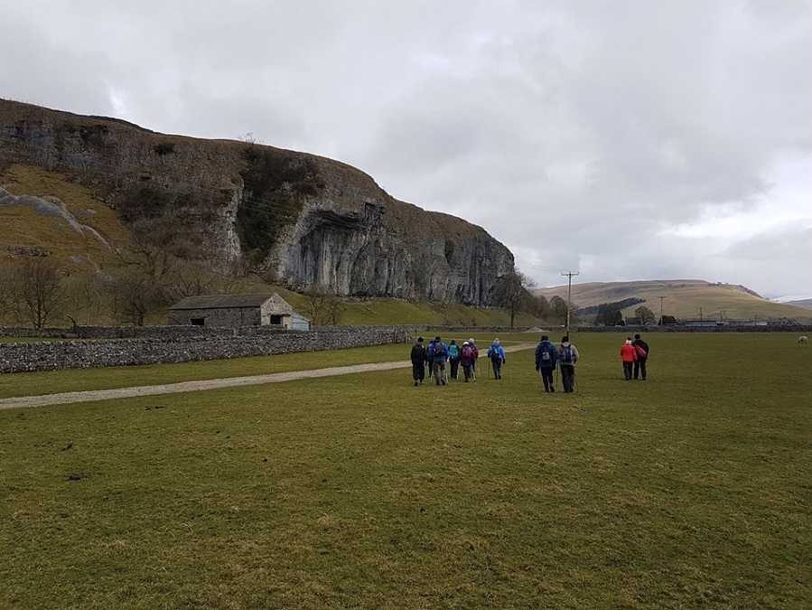
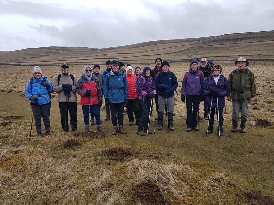
Sunday 29 April - Lunesdale Limp (Mod/Stren: 13 miles)
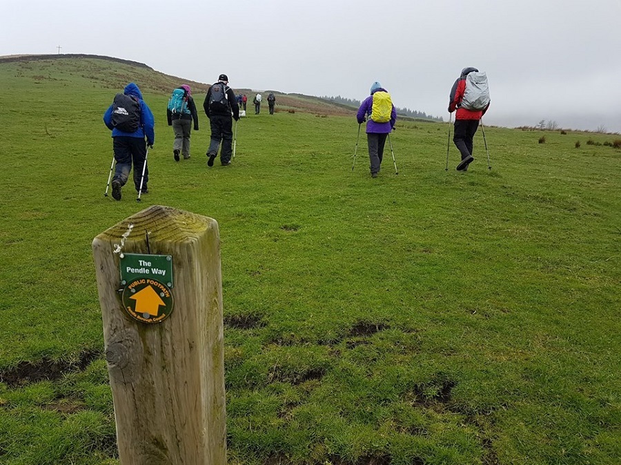
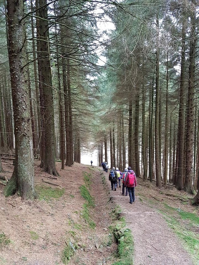
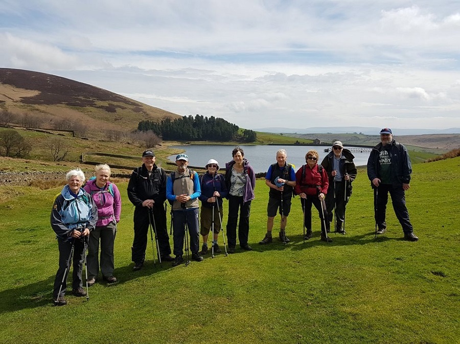
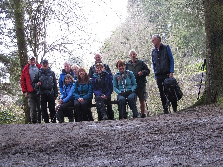
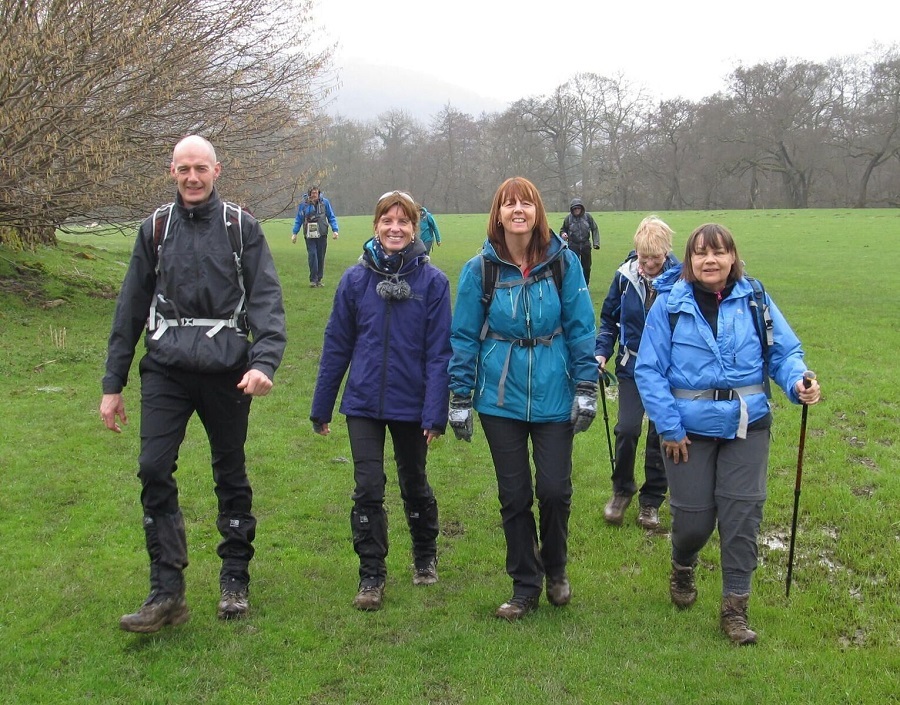
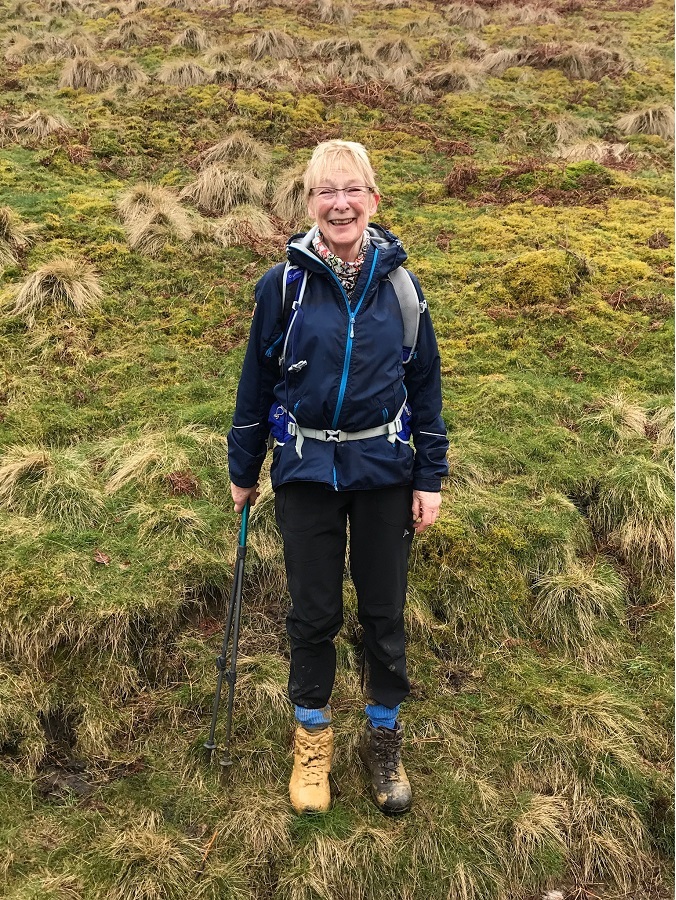
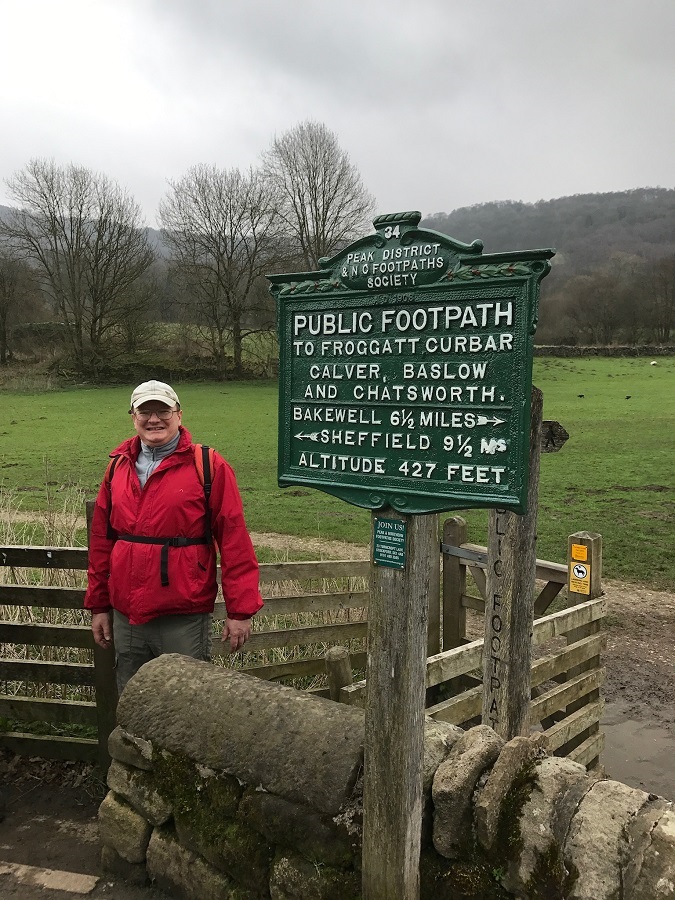
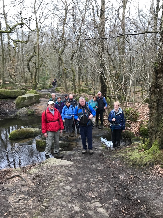
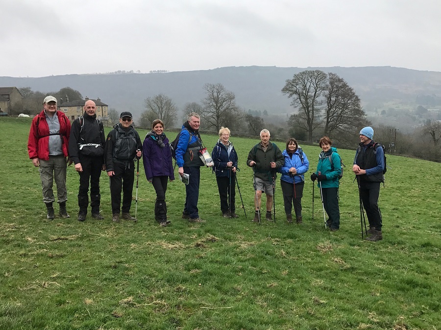
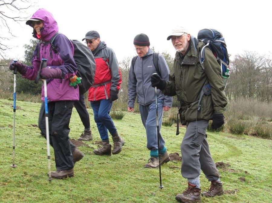
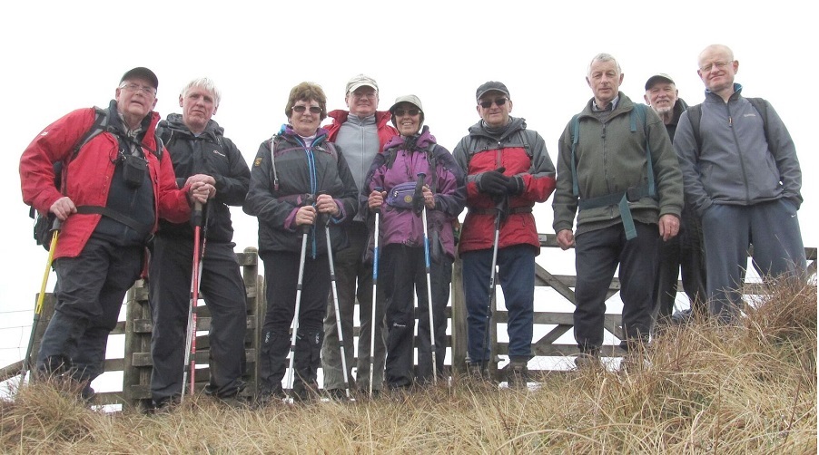
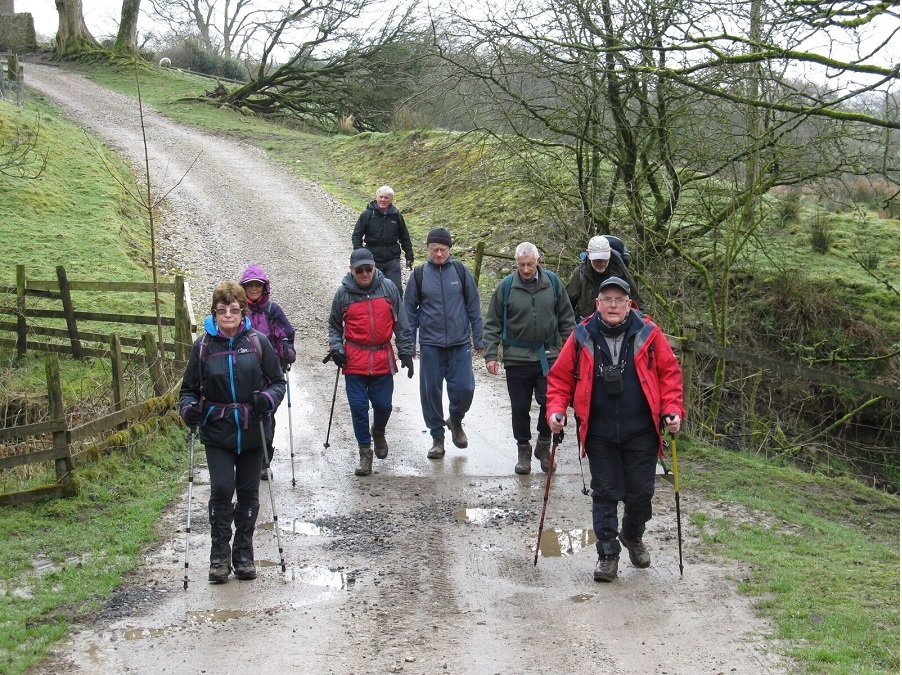
Norman Thomas, with Ian Pickup, led a group of 16 on this walk. From Hornby, the route was north, across the River Wenning and along the Lune to Melling, and then Wrayton, heading south to Gamblesholme, Alcocks Farm, Backsbottom Farm and north to Wray, where there was an excellent display of scarecrows. From Wray, the route was west, back to Hornby.
Sunday 22 April - Barley & Nick of Pendle (Mod/Stren: 11 miles)
Malcolm Chester led a group of 11 on this walk. There was some rain initally and at the end, but long dry periods, and it was misty on the top of Pendle Hill. From Barley the route was north-west on the Pendle Way to ascend Pendle Hill, turning south to reach the trig point, and continuing SW over Barley Moor to Nick of Pendle. The route was then east to Churn Clough Reservoir for lunch. The route continued east to Ratten Clough, Sabden and Newchurch in Pendle, continuing to Fell Wood, Barley Green and back to Barley.
Sunday 15 April - Sir William Hill (Mod/Stren: 11 miles)
John Talbot led a group of 11 on this walk, in fine weather. The walk started from the Miners Arms in Eyam, Derbyshire.
Initially the path was taken that leads to the boundary stone (where villagers left money in the coin slots in exchange for food and other goods brought up from Stoney Middleton, during the bubonic plague in the 17th century).
It then continued to Stoney Middleton – Froggatt – Grindleford Bridge – Leadmill Bridge – Stoke Ford – and Sir William Hill, before returning to Eyam.
Sunday 8 April - Saddle Fell & Parlick (Moderate: 8 miles)
Dave Capell led a group of 9 on this walk in fine weather. On the way round, we met Bolton HF, following a similar route. From Chipping the route was north to Saddle Fell, then west to Fair Snape Fell and south to Parlick, where the para-gliders were enjoying the conditions. Finally, there was a descent to Fell Foot and a walk south-east back to the start, and the Sun Inn.
Sunday 1 April - Grassington & Kilnsey Circular (Mod/Stren: 12 miles)
Ian Pickup led a group of 17 on this walk on a fine, dry day. From Grassington the route was initially north on the Dales Way to Scot Gate Lane, Wassa Hill, Conistone and Kilnsey, and then taking part of Mastiles Lane and the bridleway to Malham Moor Lane. From there the route continued to Threshfield Moor and Moor Lane to Threshfield Bridge, and finally to Linton Falls and back to Grassington.
Click for Closeup


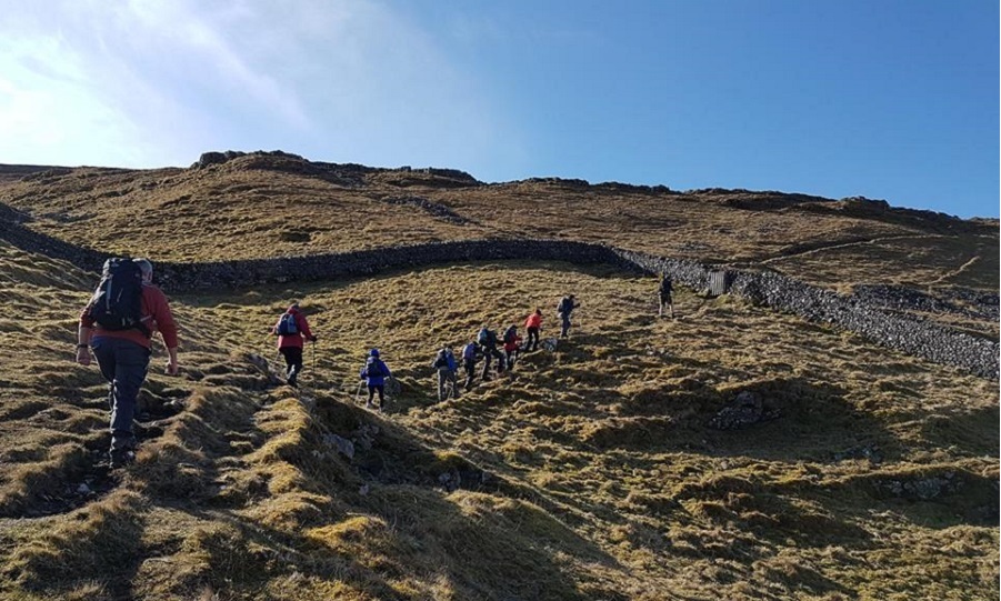
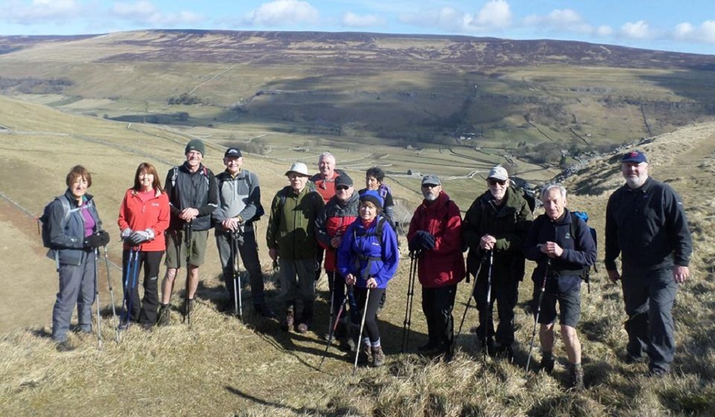


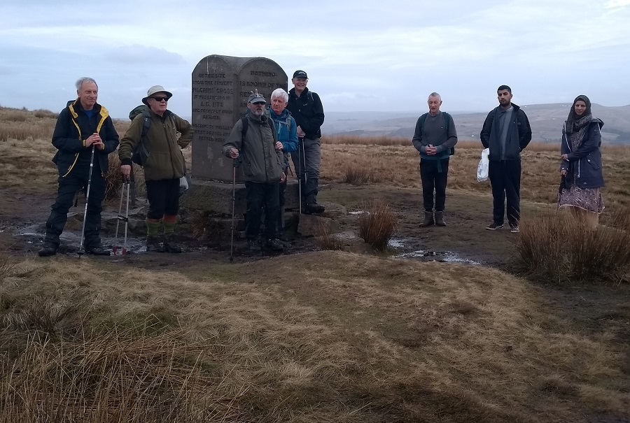
Sunday 25 March - High Cote Moor (Mod/Stren: 12 miles)
A group of 13 were led by Alan Pilling on this walk and a further 3 were prevented from getting to the start point because of a road closure, and undertook their own walk. The two groups met during the day near Malham Tarn. The weather was perfect, warm and dry with little wind. The larger group started from Arncliffe, walking SW along the Monk’s Road to Malham Tarn, then south to Street Gate and the NE alongside Gordale Beck, High Linseed Head, Low Linseed Head and Out Gang Lane, and finally along the river Skirfare back to the start, and the excellent Falcon Inn.
Sunday 18 March - No Walk
Barbara McCormack was due to lead a moderate walk from Mellor, but the "Beast from The East" made a comeback, and road conditions became difficult overnight, so the walk was cancelled. It was bad luck, because a day either side and it would probably have been OK, and was a big contrast from the pleasant weather we had for last week's walk.
Sunday 11 March - Strongstry Stroll - A Bridge Not There (Moderate: 10 miles)
Ed Husband led a group of 9 on this walk in warm, sunny weather. This was a recycled walk from 10 January 2016, which was just after the flooding that year. The route was mainly the same as for the 2016 walk, except for the diversions necessary in 2016 to avoid flooding and damage, which were not needed this time . However, because of the recent gales, there were a number of trees down, some partially blocking the path alongside Holcombe Brook. Also this time, there was a slight diversion to look at the location, on the Irwell, where there used to be a bridge between Strongstry and Chatterton. Other than removal of the wreckage, there seems to be no evidence of progress so far to have it replaced.
Some of the group visited Irwell Works Brewery in Ramsbottom following the walk.
Sunday 4 March - No Walk
Chris and Kepa had been due to lead a 12 mile moderate walk - Uppermill to Castleshaw - on this day.
However, there had been major disruption in the preceding days because of heavy snow, sub-zero temperatures and 90 mph winds. The M62 was closed, and many vehicles, with their occupants, trapped on the motorway for a full day. On the Friday, the situation was still bad, and so the leaders took advice, including from from Mountain Rescue, and decided that the safest option was to cancel.
Click for Closeup


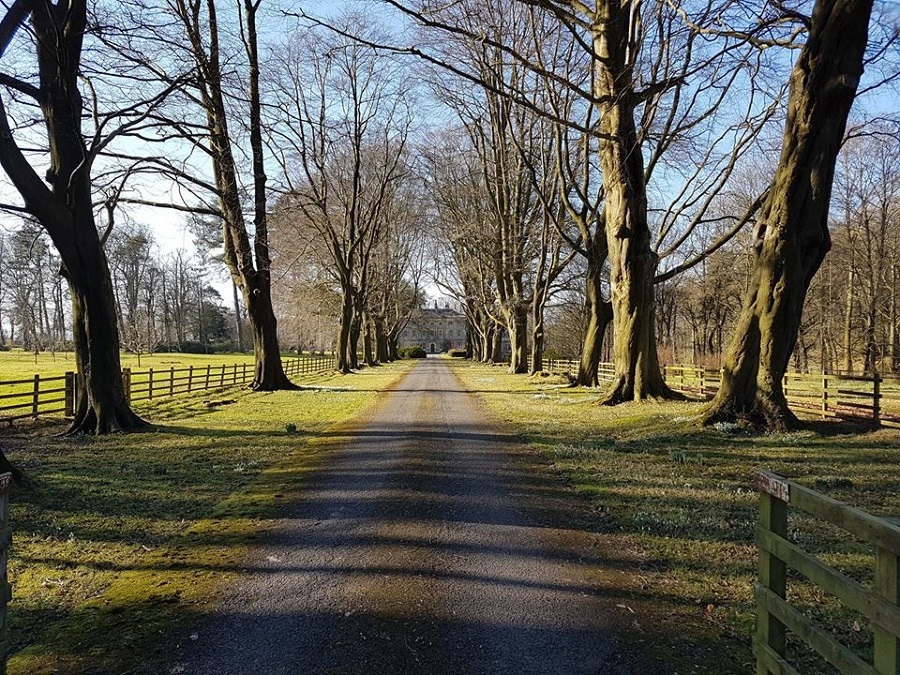

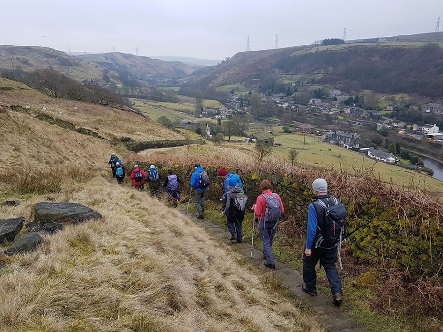


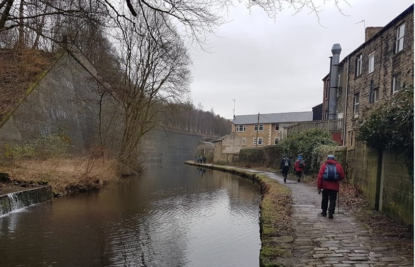

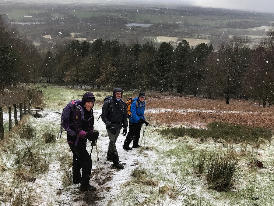
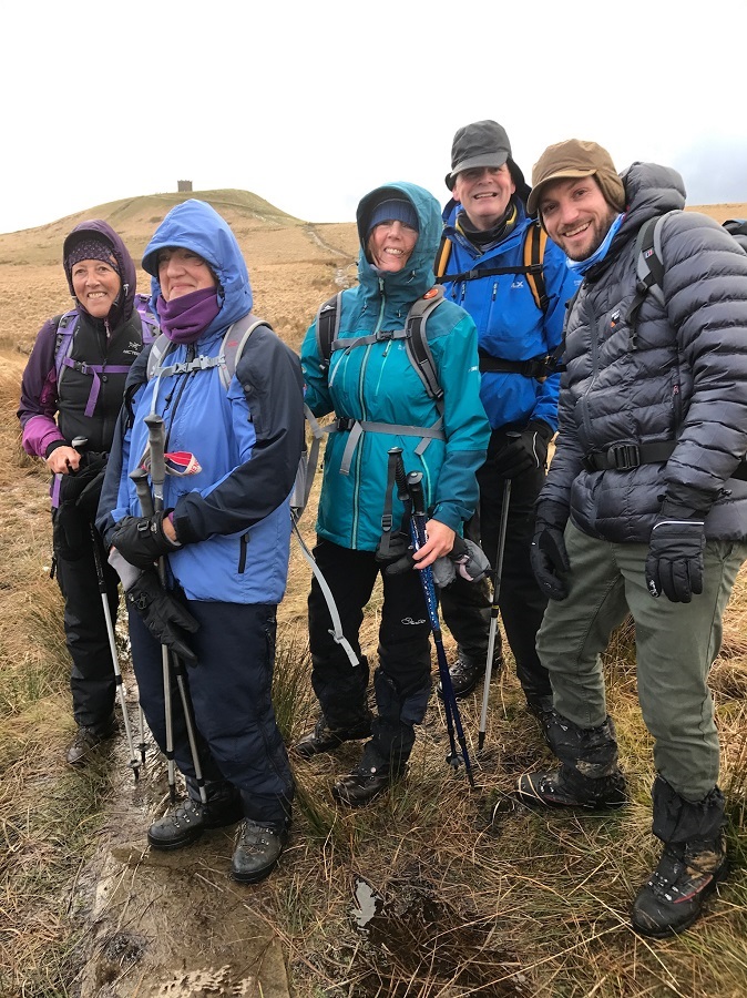
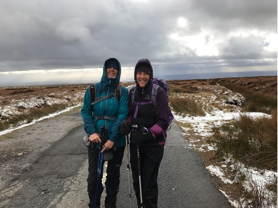

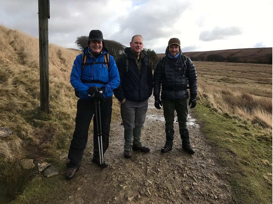

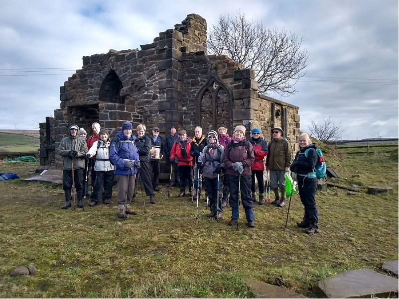
Sunday 25 February - Clitheroe & Downham (Moderate: 9 miles)
Jim Ashton led a group of 20 on this walk on a fine, sunny, winter’s day. From Chester Avenue Car Park, Clitheroe the route was to Worston, Moorside, Angram Green, Little Mearley Hall, Lane Side, Mearley Hall, Pendelton Hall, and Standen Bridge. The route continued to Standen Hall, Little Moor and back to Clitheroe. Some also visited the impressive Bowland Beer Hall at Holmes Mill.
Sunday 18 February - Rake End, Great Hill & Ramsden Hill (Mod/Stren: 11 miles)
John Clements led a group of 13 on this walk, on a fine winter's day.
From Todmorden, the route was south on the Calderdale Way to Hey Head Green and Rake End, continuing on the Pennine Bridleway to Bottomley. There was then an ascent to Reddyshore Scout, continuing on the Rochdale Way to Allenden Hill, Fox Stones Hill and Crook Moor to join Long Causeway. The turbines to the right were mainly hidden in the mist. Long Causeway was taken to Inchfield, Brown Road Farm, continuing north to finally descend to Todmorden and The White Hart.
Sunday 11 February - Rivington (Moderate: 12 miles)
Chris Makin led a group of 14 on a 12 mile walk in cold weather, with frequent showers, mainly of hailstones. From Rivington Barn, the route was west to Rivington Reservoir, then north past Yarrow and High Bulloch Reservoirs to White Coppice. The route was the east to Great Hill, south along Splitler’s Edge to Winter Hill, continuing to Crooked Edge Hill, then west to Rivington Pike, north to Top Barn and south-west back to Rivington Barn.
Sunday 4 February - Holcombe, Nangreaves & Summerseat (Moderate: 7 miles)
Brian Seaborne led a group 0f 17 on this 7 mile walk, on a cold, but dry, winter’s day. Underfoot it was muddy in places. From Lumb Carr Road Car Park, the route was through Tagg Wood to Ramsbottom and Nuttall Park, ascending via Jacob’s Ladder to cross the motorway, and then the A56, to ascend to Grant’s Tower. From there the route was to Nangreaves, re-crossing the A56 to Nabbs Farm, Chest Wheel Farm, Summerseat, Holcombe Brook, and back to the start, and then for an after-walk drink at the Shoulder of Mutton.
Click for Closeup


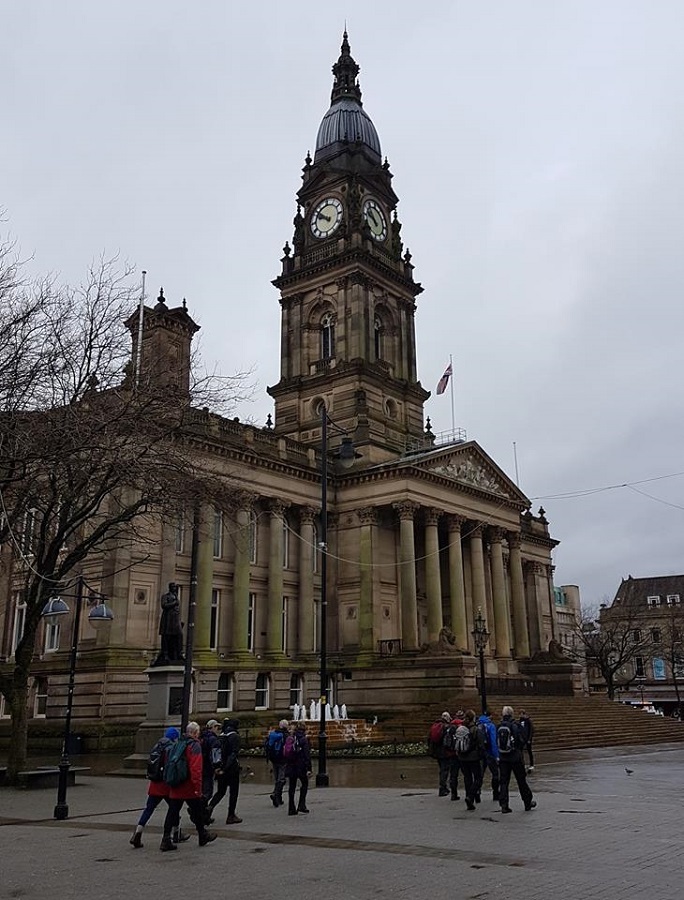


Sunday 28 January - Bus Walk Bolton to Bury (Moderate: 11 miles)
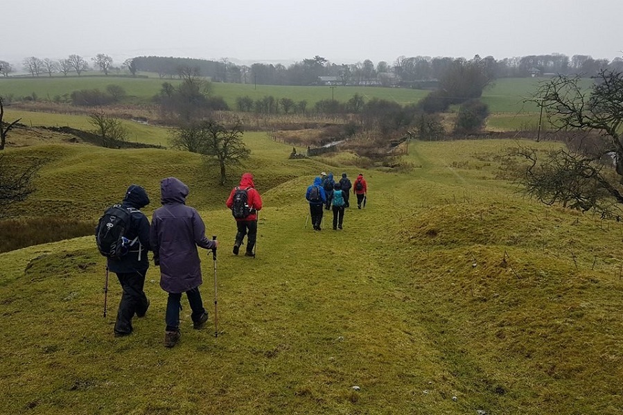
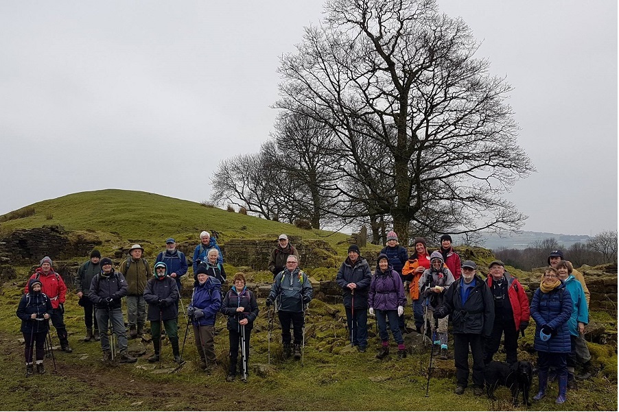
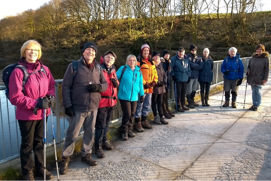
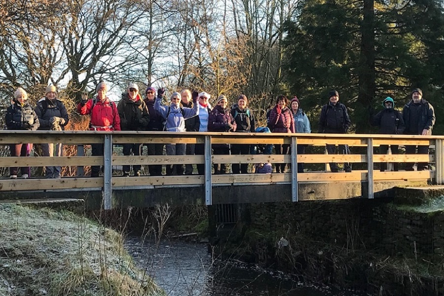
Ed Husband led a group of 19 on this walk, in cloudy but dry weather. The group took the 471 Bus from Bury to Bolton Bus Station, and walked back to Bury. The route was north on the pedestrian precinct, past the Town Hall and Fred Dibnah statue, and then right on Church Gate as far as the Man and Scythe. The route was then north along the River Tonge and Eagley Brook, past Bank Top Brewery, and on to Jumbles for lunch. After lunch the route was south to Affetside and then Tottington, and finally along the Kirklees Trail back to Bury, and the Trackside Bar.
Sunday 21 January - Gisburn Circular (Moderate: 10 miles)
Peter Rowley lead a group of 11 on this walk in wet weather.
From Gisburn the route was N and then E to Hortonber Hill, south to Bracewell and Hesketh and then north back to Gisburn.
Sunday 14 January - One for the Golden Oldies! (Easy: 8 miles)
Ray Bangbala led a group of 25 on this walk, on a fine winter’s day. From Holcombe Brook, the route was north-west into Reddisher Woods, past Simons Farm and the rifle ranges, up to the Moorbottom Road, turning back towards Taylor’s Farm and then ascending to Peel Monument. From there the route was north, curving back south to Holcombe Village, and descending through Tag Woods to Ramsbottom, for lunch in Nuttall Park. From there the route was south to Summerseat, and west alongside Holcombe Brook to the Hare and Hounds.
Sunday 7 January - Welcome to Wayoh (Welcome Walk: 6 miles)
Mike Minett led a group of 13 walkers, including 4 new members, on this walk on a fine, sunny but cold winter's day. The walk explored a section of the valley of Bradshaw Brook as well as taking in Turton Village and Wayoh Reservoir. After the walk some enjoyed a nice lunch at the Victorian Cafe in Turton Towers.
Sunday 7 January - Tandle Hill Circular (Moderate: 10 miles)
Stuart Wild led a group of 17 on this walk, on a fine, sunny day with temperatures just above zero degrees C. From the Old Cock Inn in Middleton, the route was north, crossing the railway, and then past Chadderton Fold and Healds Green to cross the M627 via the footbridge and then circle via the western end of Royton to ascend Tandle Hill. The route was then north, to join Thornham Old Road, heading west to re-cross the motorway, and then north to Thornham New Road. The route was then west to Trub, south past Norton Grange Hotel and Slattocks to Higher Boarshaw, and finally back to the start, and the excellent Old Cock Inn. For map of the Tandle Hill walk, Clich here to view.